Signs Tagged With Shield
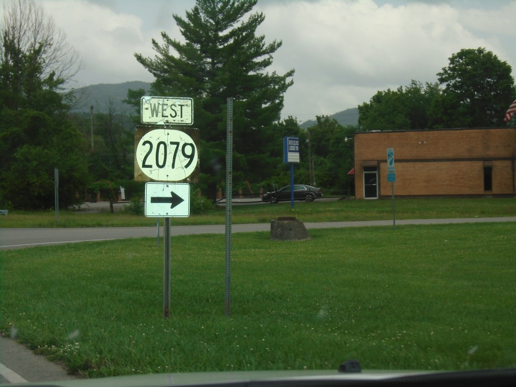
KY-441 East at KY-2079 West
KY-441 East (Bellwood Road) at KY-2079 West (19th St.)
Taken 06-24-2019

 Middlesboro
Bell County
Kentucky
United States
Middlesboro
Bell County
Kentucky
United States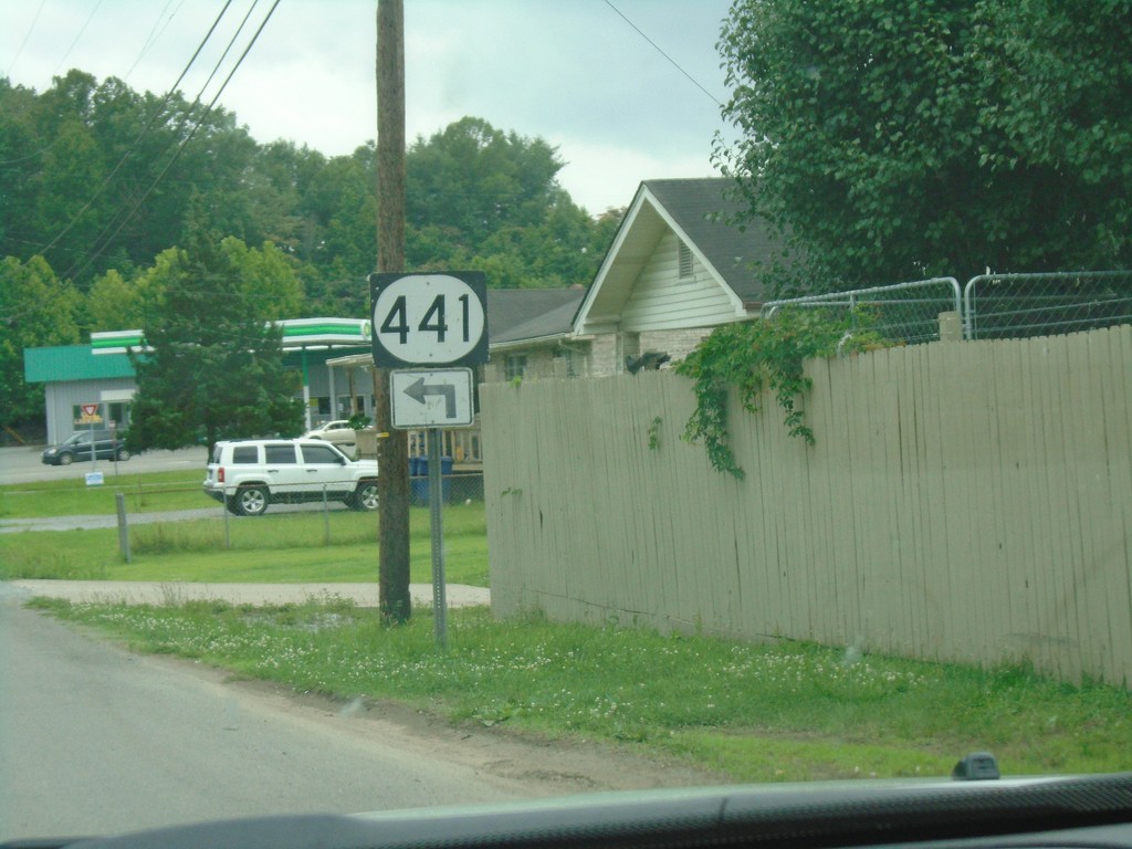
KY-441 Approaching Bellwood Road
KY-441 East (Old Pineville Pike) approaching Bellwood Road. Turn left to continue east on KY-441.
Taken 06-24-2019
Middlesboro
Bell County
Kentucky
United States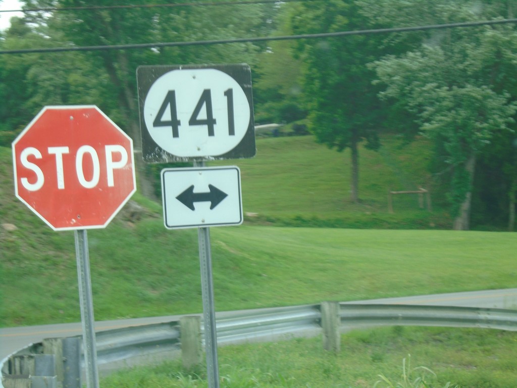
End KY-1599 North at KY-441
End KY-1599 North (Airport Road) at KY-441 (Belt Line Road).
Taken 06-24-2019
 Middlesboro
Bell County
Kentucky
United States
Middlesboro
Bell County
Kentucky
United States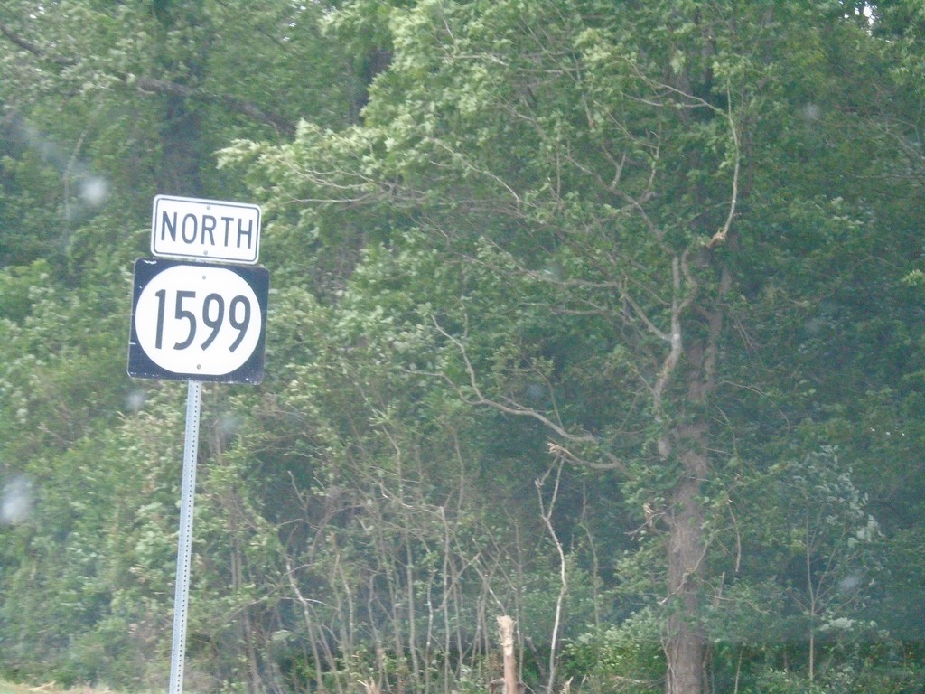
KY-1599 North - Middlesboro
KY-1599 North (Airport Road) in Middlesboro
Taken 06-24-2019
Middlesboro
Bell County
Kentucky
United States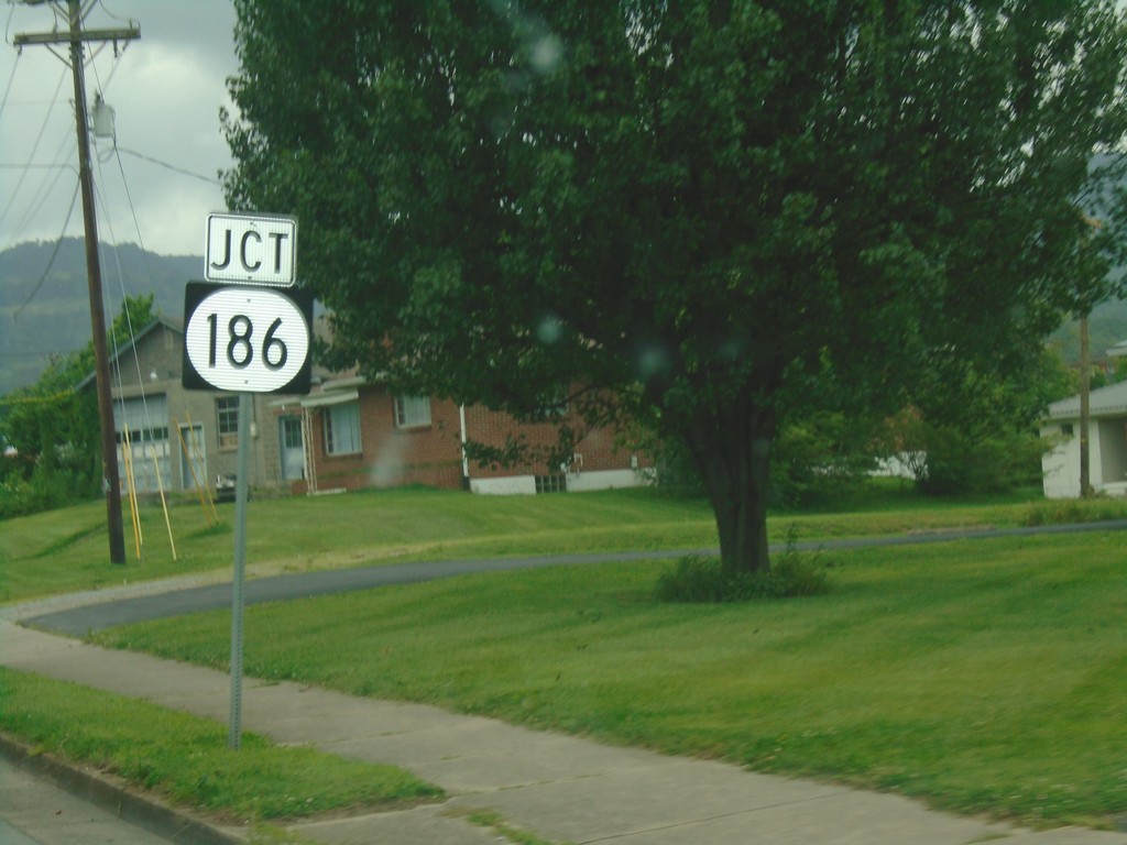
KY-74 West Approaching KY-186
KY-74 West approaching KY-186 in Middlesboro.
Taken 06-24-2019

 Middlesboro
Bell County
Kentucky
United States
Middlesboro
Bell County
Kentucky
United States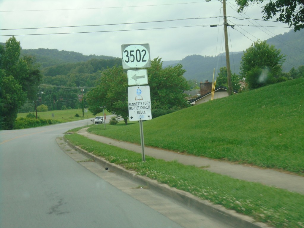
KY-74 West at KY-3502
KY-74 West at KY-3502 in Middlesboro.
Taken 06-24-2019
 Middlesboro
Bell County
Kentucky
United States
Middlesboro
Bell County
Kentucky
United States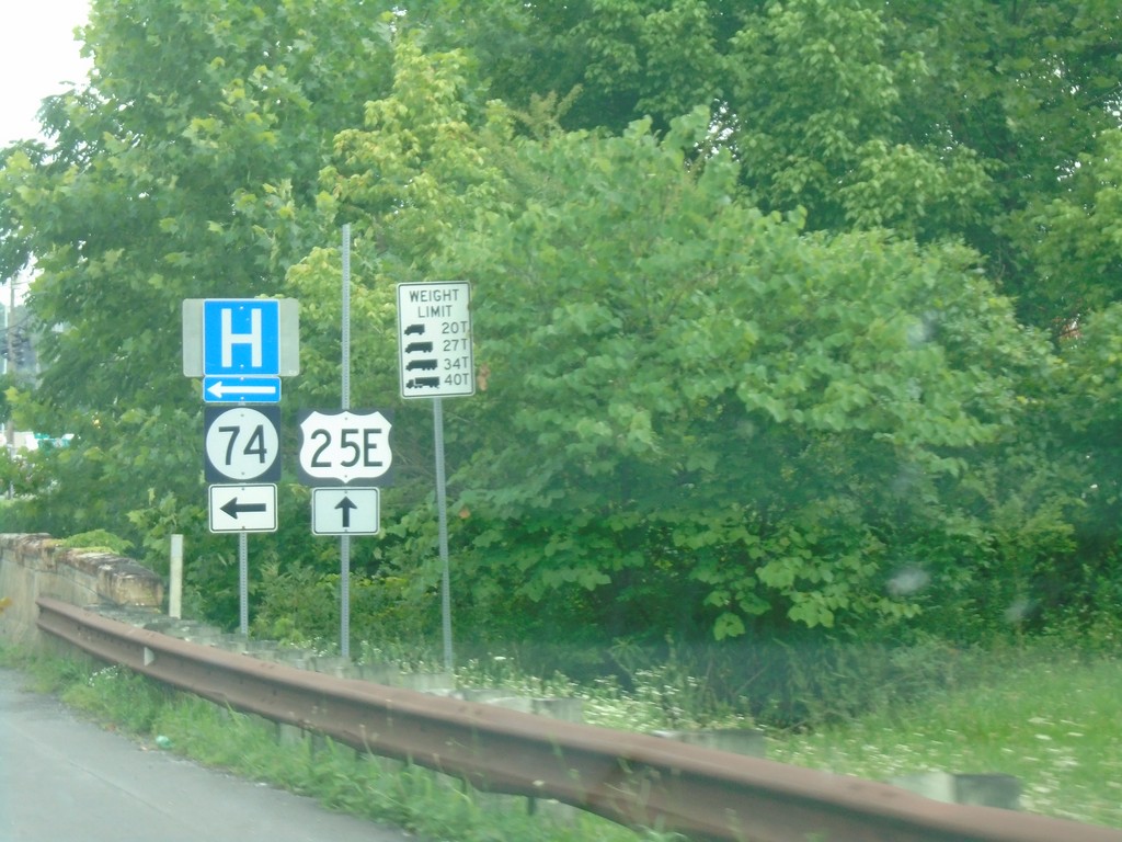
US-25E North at KY-74
US-25E North at KY-74 in Middlesboro.
Taken 06-24-2019
 Middlesboro
Bell County
Kentucky
United States
Middlesboro
Bell County
Kentucky
United States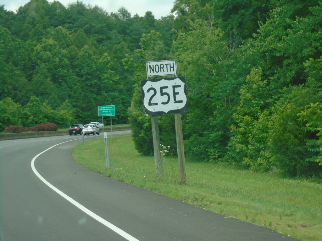
US-25E North - Middlesboro
US-25E North in Middlesboro.
Taken 06-24-2019
Middlesboro
Bell County
Kentucky
United States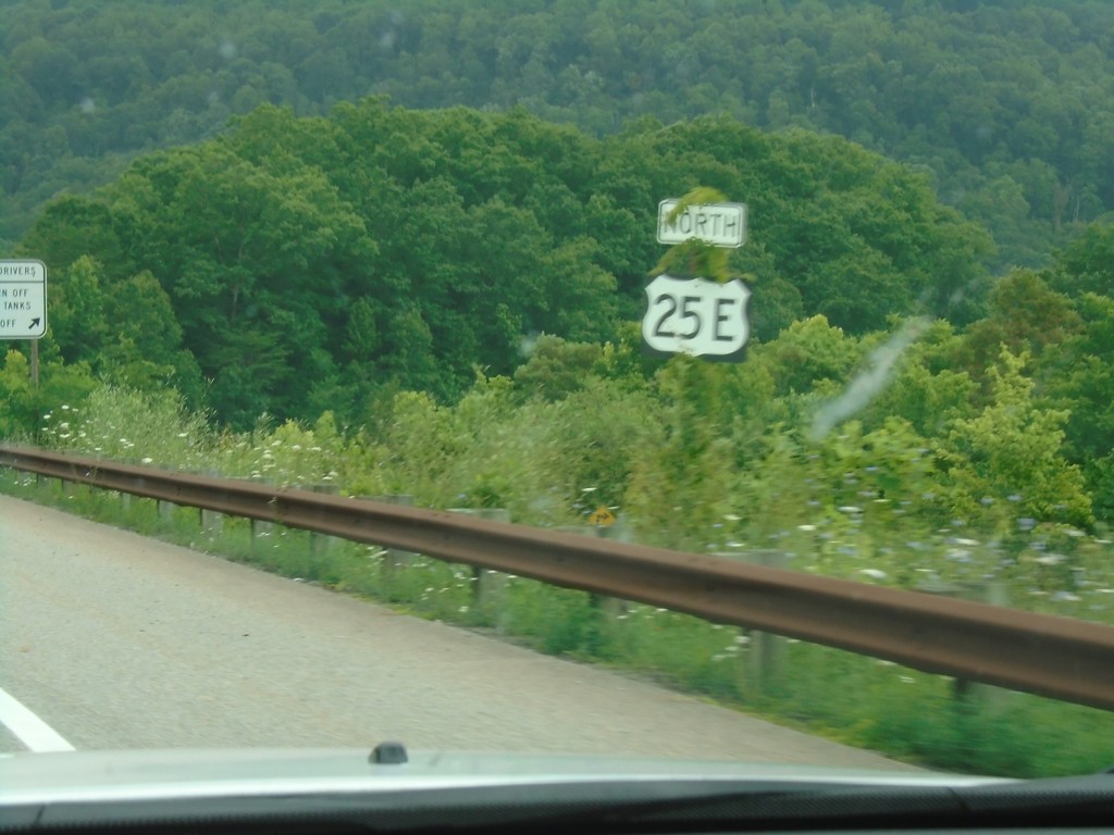
US-25E North - Claiborne County
US-25E North in Claiborne County approaching the Cumberland Gap tunnel.
Taken 06-24-2019
Cumberland Gap
Claiborne County
Tennessee
United States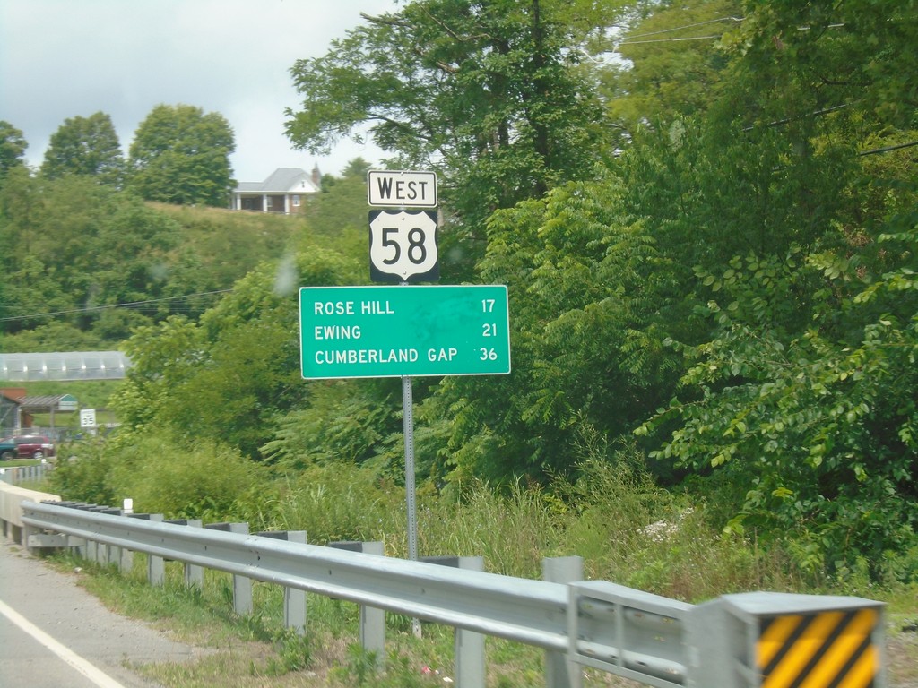
US-58 West - Distance Marker
Distance marker on US-58 west. Distance to Rose Hill, Ewing, and Cumberland Gap (TN).
Taken 06-24-2019
 Jonesville
Lee County
Virginia
United States
Jonesville
Lee County
Virginia
United States