Signs Tagged With Distance Marker
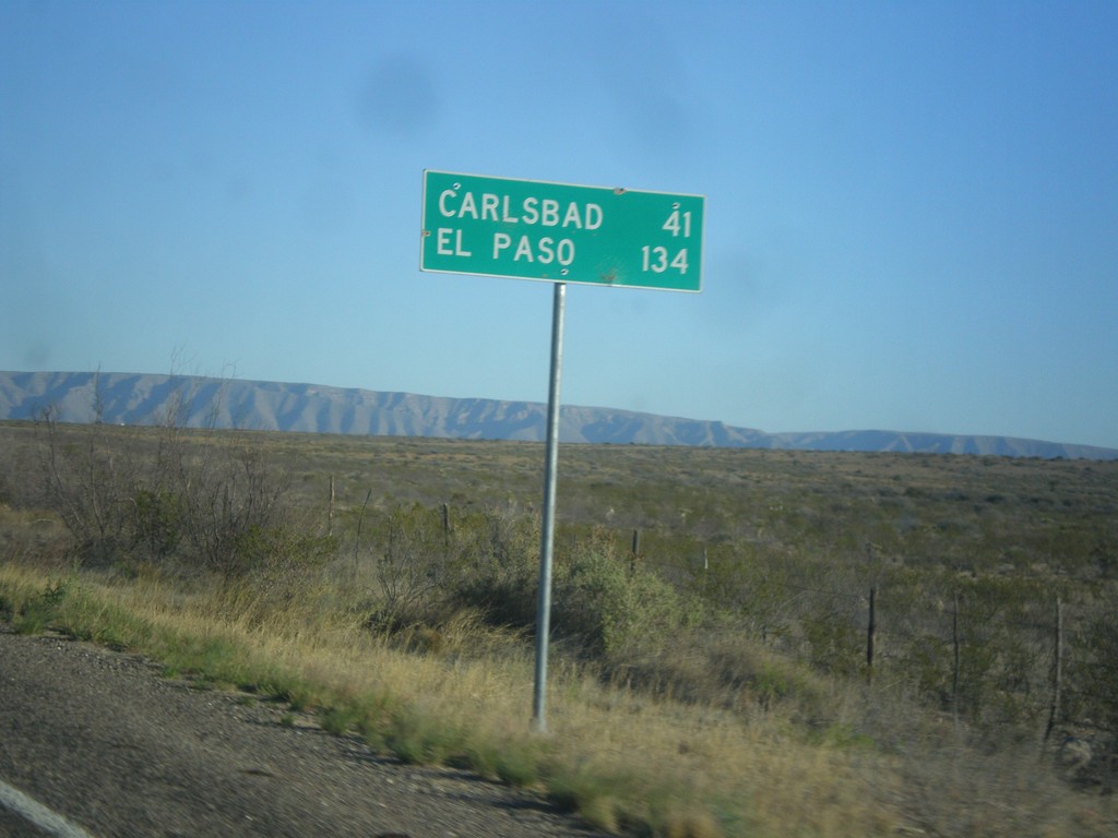
RM-652 West - Distance Marker
Distance marker on RM-652 west. Distance to Carlsbad (New Mexico) and El Paso.
Taken 04-15-2013
 Carlsbad
Culberson County
Texas
United States
Carlsbad
Culberson County
Texas
United States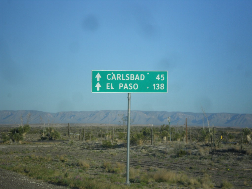
RM-652 West - Distance Marker
Distance marker on RM-652 east to Carlsbad (New Mexico) and El Paso.
Taken 04-15-2013
Carlsbad
Culberson County
Texas
United States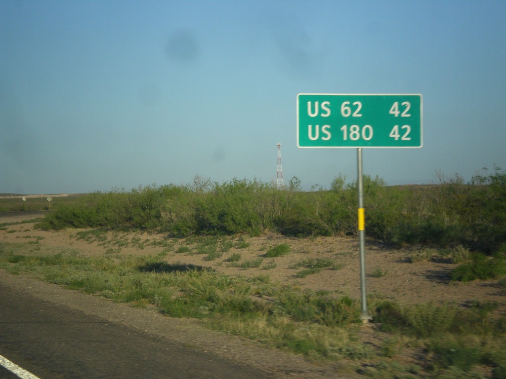
RM-652 West - Distance Marker
Distance marker on RM-652 west to US-62 and US-180.
Taken 04-15-2013
Orla
Reeves County
Texas
United States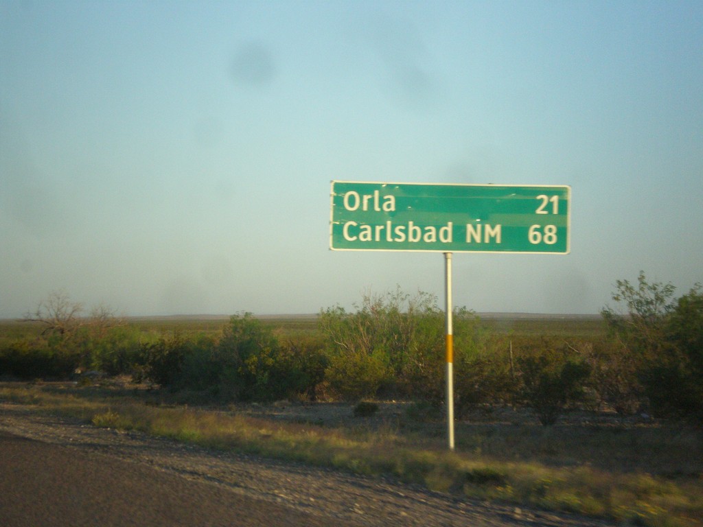
US-285 North - Distance Marker
Distance marker on US-285 north. Distance to Orla, and Carlsbad, NM.
Taken 04-15-2013
 Mentone
Loving County
Texas
United States
Mentone
Loving County
Texas
United States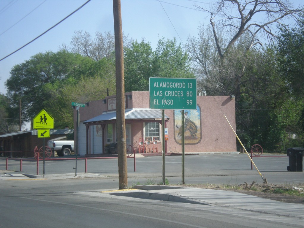
US-70 West/US-54 South - Distance Marker
Distance marker on US-70 West/US-54 South in Tularosa. Distance to Alamogordo, Las Cruces, and El Paso.
Taken 04-15-2013

 Tularosa
Otero County
New Mexico
United States
Tularosa
Otero County
New Mexico
United States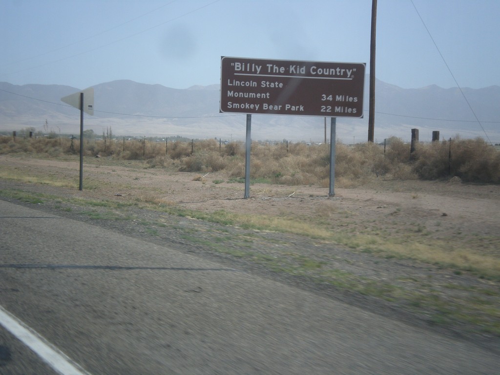
US-380 East - Billy The Kid Country
Billy The Kid Country marker on US-380 east approaching Carrizozo. Distance to Lincoln State Mounument, and Smokey Bear State Park.
Taken 04-15-2013
 Carrizozo
Lincoln County
New Mexico
United States
Carrizozo
Lincoln County
New Mexico
United States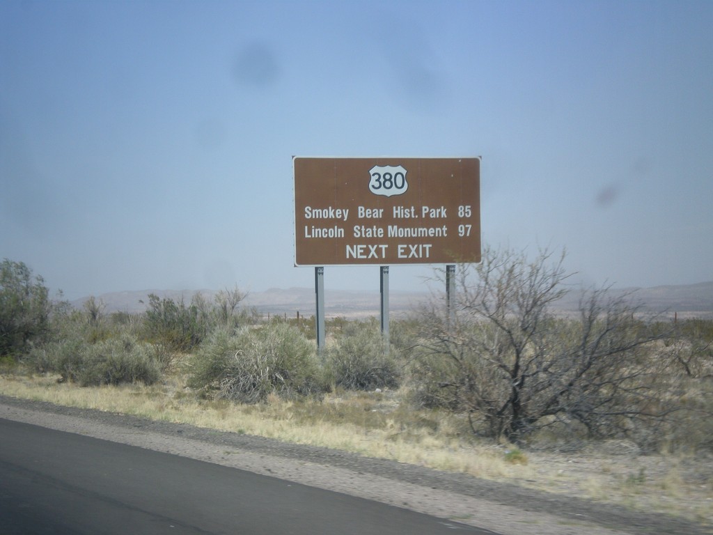
I-25 North Approaching US-380
I-25 north approaching US-380 (Exit 139). Use US-380 east for Smokey Bear Historical Park, and Lincoln State Monument.
Taken 04-15-2013
 San Antonio
Socorro County
New Mexico
United States
San Antonio
Socorro County
New Mexico
United States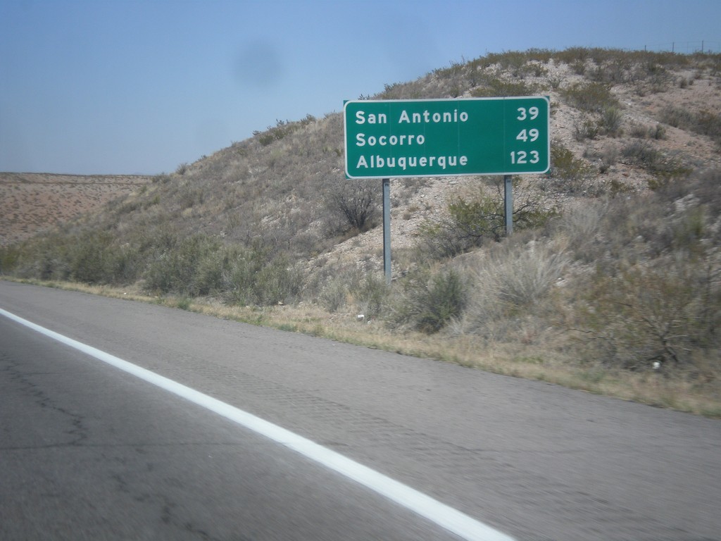
I-25 North - Distance Marker
Distance marker on I-25 north. Distance to San Antonio, Socorro, and Albuquerque.
Taken 04-15-2013
Truth or Consequences
Sierra County
New Mexico
United States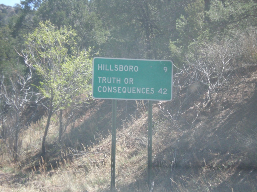
NM-152 East - Distance Marker
Distance marker on NM-152 east. Distance to Hillsboro and Truth or Consequences.
Taken 04-14-2013
 Hillsboro
Sierra County
New Mexico
United States
Hillsboro
Sierra County
New Mexico
United States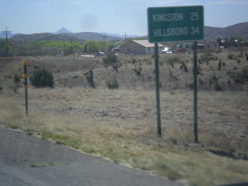
NM-152 East - Distance Marker
Distance marker on NM-152 east. Distance to Kingston and Hillsboro.
Taken 04-14-2013
Hanover
Grant County
New Mexico
United States