Signs Tagged With Distance Marker
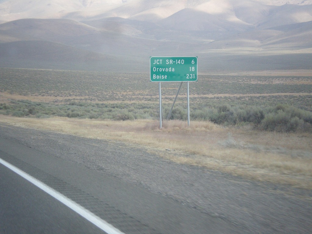
US-95 North - Distance Marker
Distance marker on US-95 north. Distance to Jct. SR-140, Orovada, and Boise (Idaho).
Taken 08-16-2016
 Winnemucca
Humboldt County
Nevada
United States
Winnemucca
Humboldt County
Nevada
United States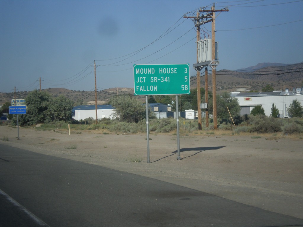
US-50 East - Distance Marker
Distance marker on US-50 east. Distance to Mound House, Jct. SR-341, and Fallon.
Taken 08-15-2016
 Carson City
Nevada
United States
Carson City
Nevada
United States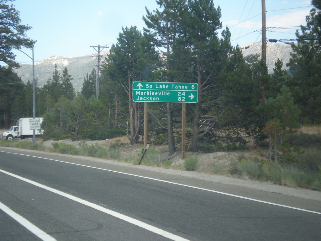
US-50 East At CA-89
US-50 east at CA-89 south to Markleeville and Jackson (via CA-88). Continue straight ahead for US-50 East/CA-89 north to South Lake Tahoe.
Taken 08-15-2016
 South Lake Tahoe
El Dorado County
California
United States
South Lake Tahoe
El Dorado County
California
United States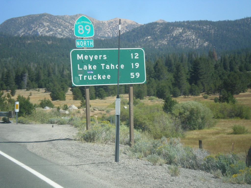
CA-89 North - Distance Marker
Distance marker on CA-89 north. Distance to Meyers, Lake Tahoe, and Truckee.
Taken 08-12-2016
Markleeville
Alpine County
California
United States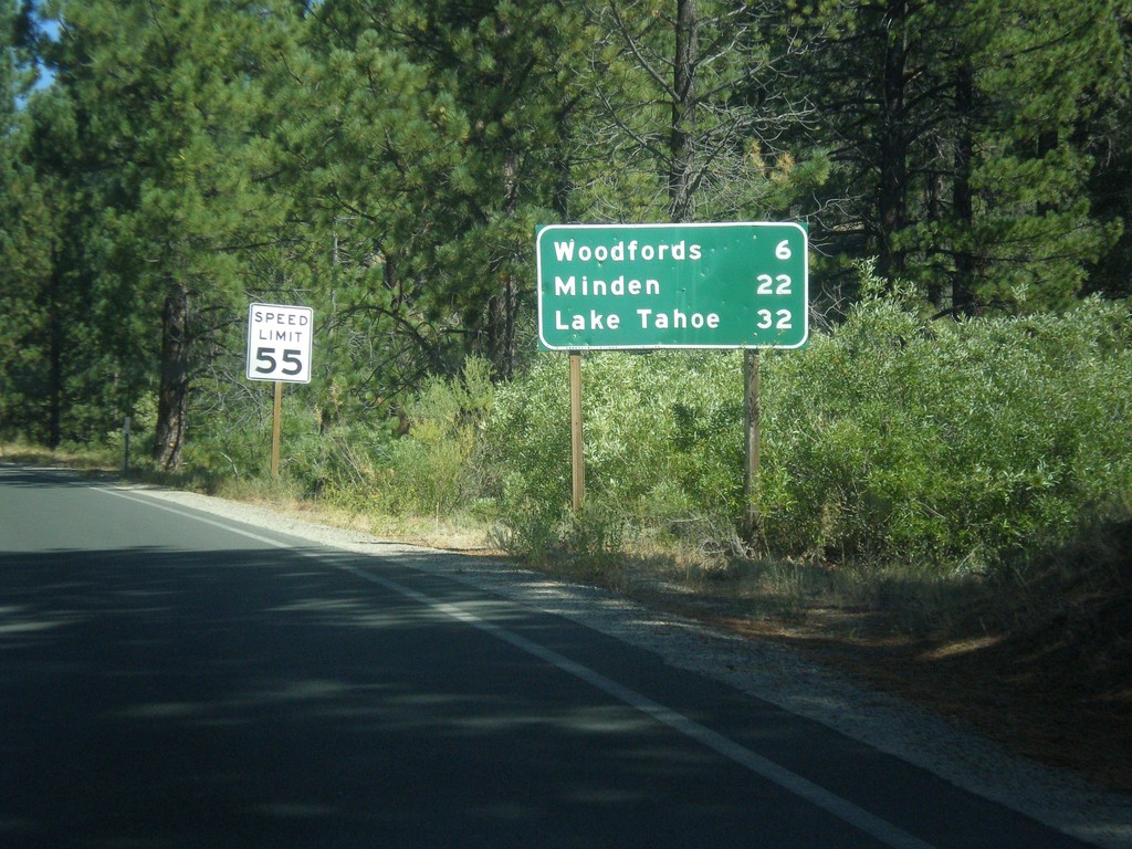
CA-89 North - Distance Marker
Distance marker on CA-89 north. Distance to Woodfords, Minden (Nevada), and Lake Tahoe.
Taken 08-12-2016
Markleeville
Alpine County
California
United States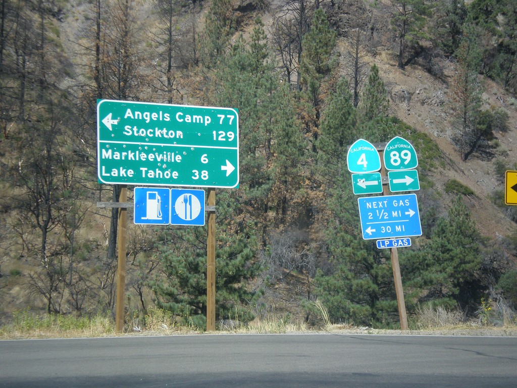
CA-89 North at CA-4
CA-89 North at CA-4. Turn left for CA-4 west to Angels Camp and Stockton (via Ebbetts Pass). Turn right for CA-89 north to Markleeville and Lake Tahoe.
Taken 08-12-2016
 Markleeville
Alpine County
California
United States
Markleeville
Alpine County
California
United States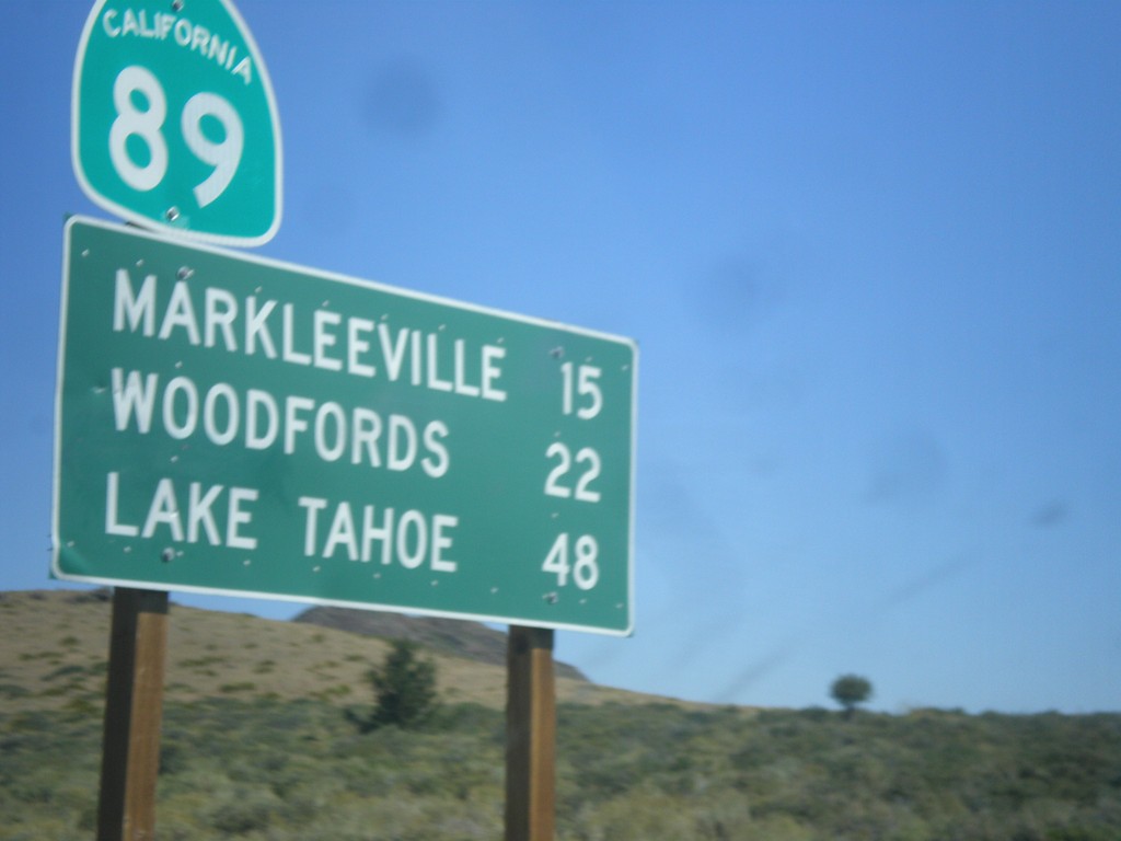
CA-89 North - Distance Marker
Distance marker on CA-89 north. Distance to Markleeville, Woodfords, and Lake Tahoe.
Taken 08-12-2016
Coleville
Mono County
California
United States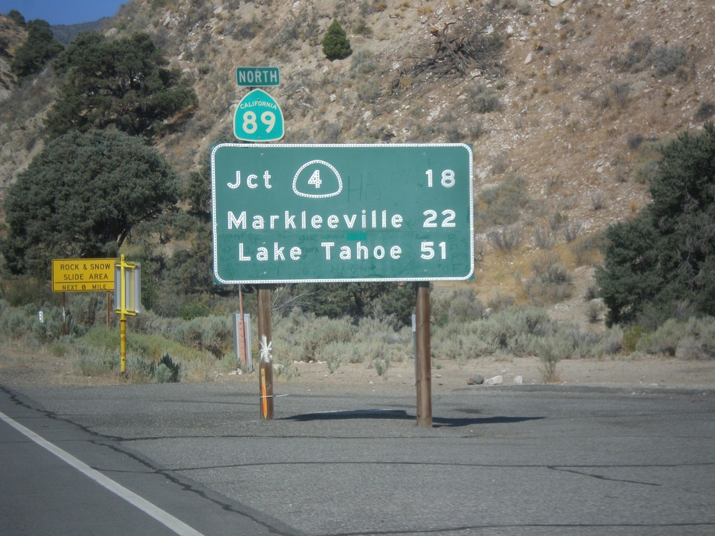
CA-89 North - Distance Marker
First distance marker on CA-89 north. Distance to CA-4 Jct., Markleeville, and Lake Tahoe.
Taken 08-12-2016
Coleville
Mono County
California
United States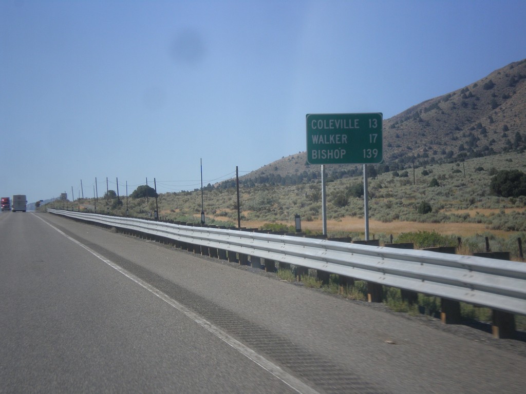
US-395 South - Distance Marker
Distance marker on US-395 south. Distance to Coleville, Walker, and Bishop. All three of these places are in California. This is the last distance marker on US-395 southbound.
Taken 08-12-2016
 Gardnerville
Douglas County
Nevada
United States
Gardnerville
Douglas County
Nevada
United States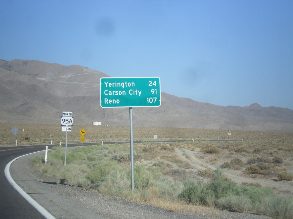
US-95 Alt. North - Distance Marker
Distance marker on US-95 Alt. north. Distance to Yerington, Carson City (via US-50), and Reno (via I-80).
Taken 08-12-2016
 Schurz
Mineral County
Nevada
United States
Schurz
Mineral County
Nevada
United States