Signs Tagged With Distance Marker
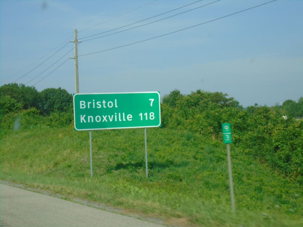
I-81 South - Distance Marker
Distance marker on I-81 south. Distance to Bristol and Knoxville (TN).
Taken 06-24-2019

 Bristol
Washington County
Virginia
United States
Bristol
Washington County
Virginia
United States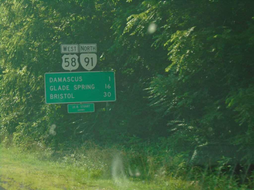
US-58 West/VA-91 North - Distance Marker
Distance Marker on US-58 West/VA-91 North. Distance to Damascus, Glade Spring, and Bristol. US-58 is the Jeb Stewart Highway.
Taken 06-23-2019
 Damascus
Washington County
Virginia
United States
Damascus
Washington County
Virginia
United States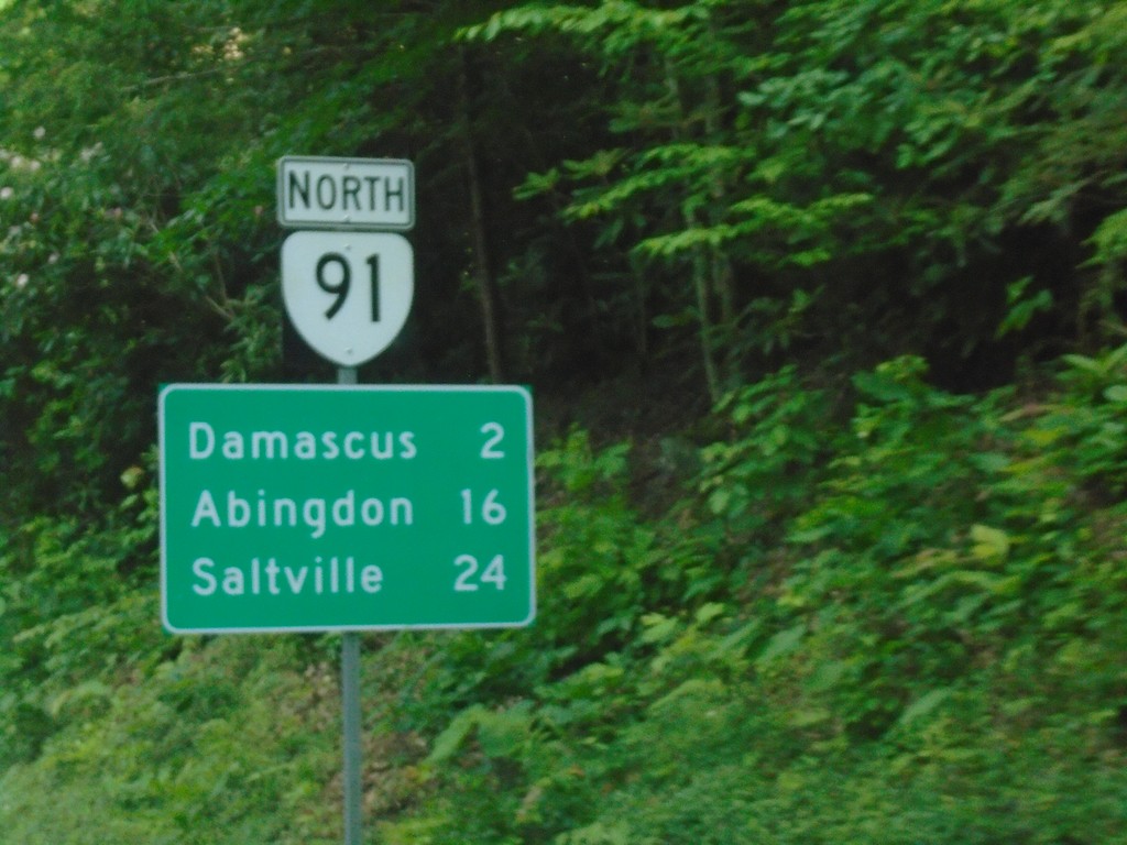
VA-91 North - Distance Marker
Distance marker on VA-91 north. Distance to Damascus, Abingdon, and Saltville.
Taken 06-23-2019
Damascus
Washington County
Virginia
United States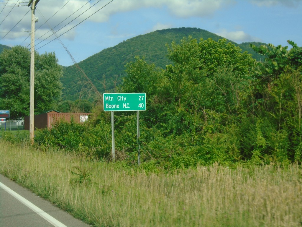
US-321 South/TN-67 - Distance Marker
Distance Marker on US-321 South/TN-67 East. Distance to Mountain City and Boone, NC.
Taken 06-23-2019

 Hampton
Carter County
Tennessee
United States
Hampton
Carter County
Tennessee
United States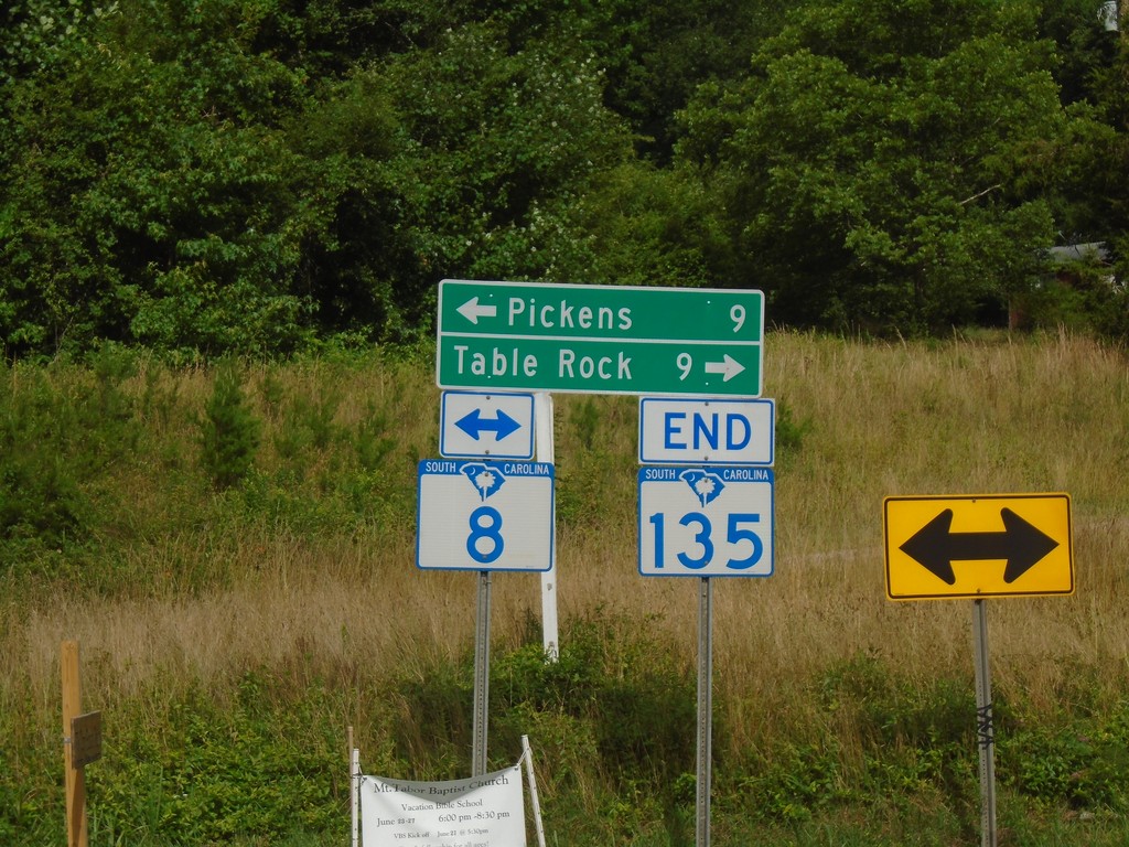
End SC-135 North at SC-8
End SC-135 North at SC-8. Turn right for SC-8 to Table Rock; left for SC-8 to Pickens.
Taken 06-23-2019

 Pickens
 County
South Carolina
United States
Pickens
Pickens County
South Carolina
United States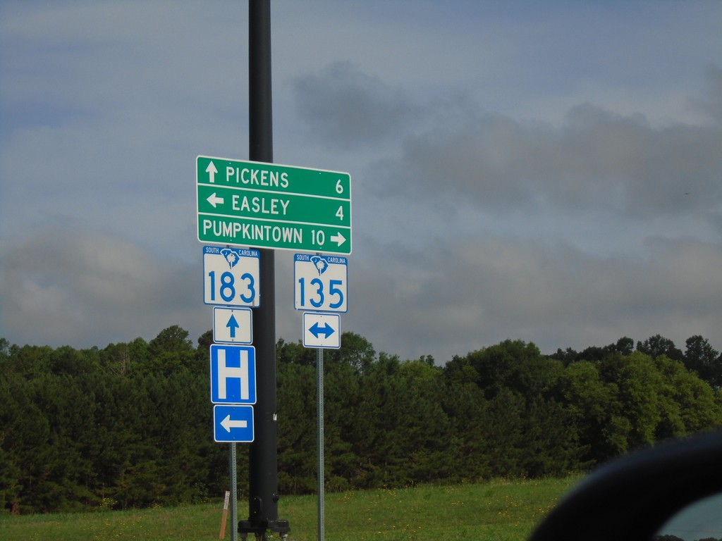
SC-183 West at SC-135
SC-183 West at SC-135 in Easley. Turn right for SC-135 North to Pumpkintown; left for SC-135 South to Easley. Continue straight on SC-183 for Pickens.
Taken 06-23-2019
 Easley
Pickens County
South Carolina
United States
Easley
Pickens County
South Carolina
United States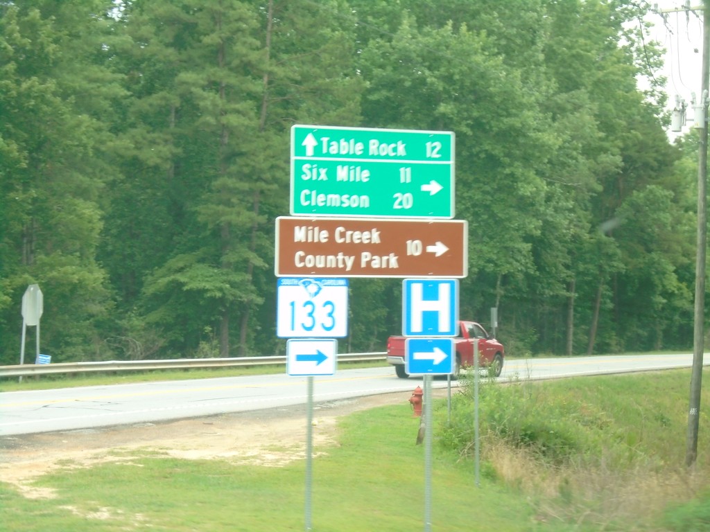
SC-11 East at SC-133
SC-11 East at SC-133 South to Six Mile, Clemson, and Mile Creek County Park. Continue east on SC-11 for Table Rock.
Taken 06-22-2019

 Sunset
Pickens County
South Carolina
United States
Sunset
Pickens County
South Carolina
United States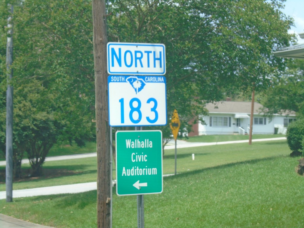
SC-183 North - Walhalla
SC-183 north in Walhalla. Turn left on North Broad St. for the Walhalla Civic Auditorium.
Taken 06-22-2019
Walhalla
Oconee County
South Carolina
United States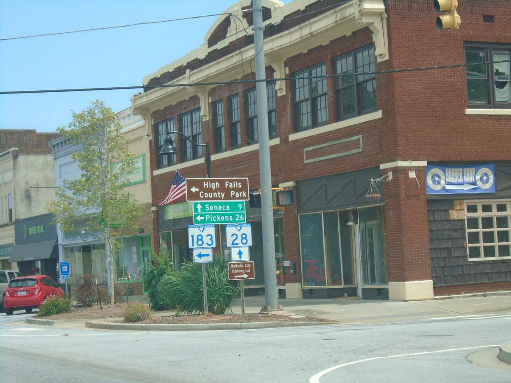
SC-28 South/SC-183 North at SC-28/SC-183 Split
SC-28 South/SC-183 North at SC-28/SC-183 split in Walhalla. Turn left for SC-183 north to Pickens and High Rock State Park; continue straight for SC-28 south to Seneca.
Taken 06-22-2019
 Walhalla
Oconee County
South Carolina
United States
Walhalla
Oconee County
South Carolina
United States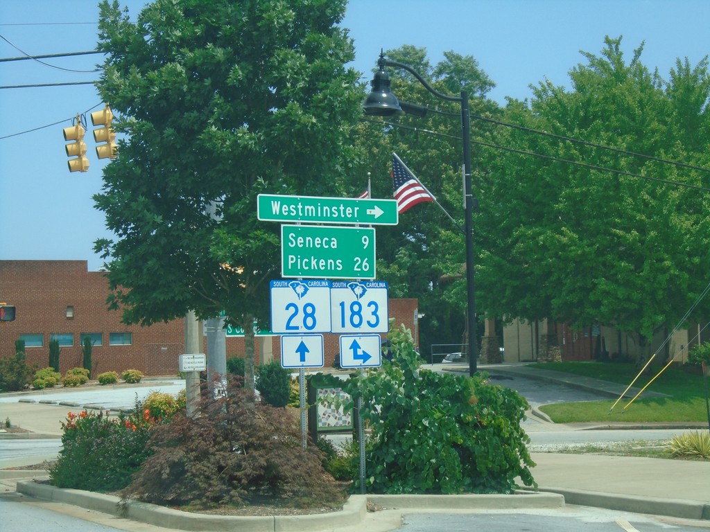
SC-28 South at SC-183 - Walhalla
SC-28 South at SC-183 in Walhalla. Turn left for SC-183 south to Westminster. Continue on SC-28 South/SC-183 North to Seneca (via SC-28) and Pickens (via SC-183).
Taken 06-22-2019
Walhalla
Oconee County
South Carolina
United States