Signs Tagged With Distance Marker
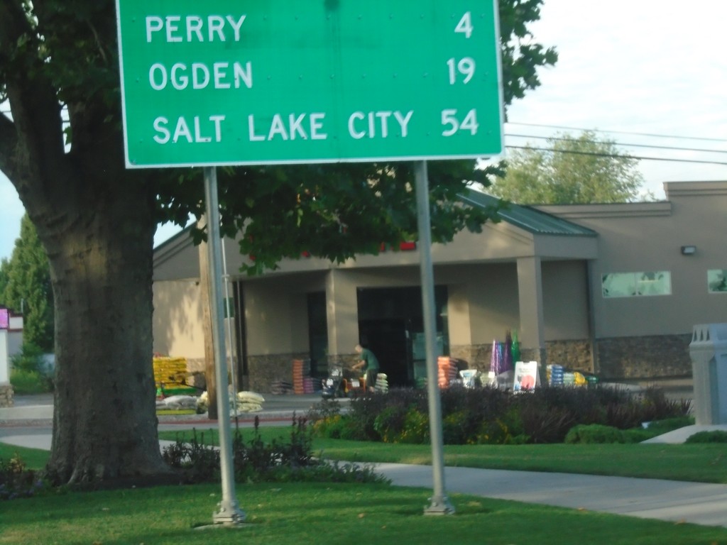
UT-13 South - Distance Marker
Distance marker on UT-13 south. Distance to Perry, Ogden, and Salt Lake City.
Taken 08-03-2019
 Brigham City
Box Elder County
Utah
United States
Brigham City
Box Elder County
Utah
United States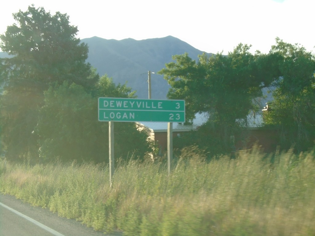
UT-102 East - Distance Marker
Distance marker on UT-102 East. Distance to Deweyville, and Logan.
Taken 08-03-2019
 Tremonton
Box Elder County
Utah
United States
Tremonton
Box Elder County
Utah
United States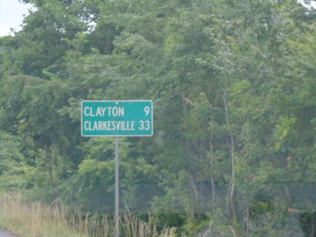
US-23 South/US-441 South - Distance Marker
Distance marker on US-23 South/US-441 South. Distance to Clayton and Clarkesville.
Taken 06-24-2019


 Dillard
Rabun County
Georgia
United States
Dillard
Rabun County
Georgia
United States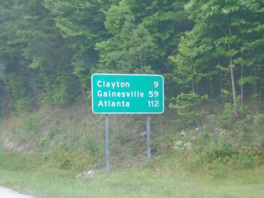
US-23 South/US-441 South - Distance Marker
Distance marker on US-23 South/US-441 South. Distance to Clayton (GA), Gainesville (GA), and Atlanta (GA).
Taken 06-24-2019
Otto
Macon County
North Carolina
United States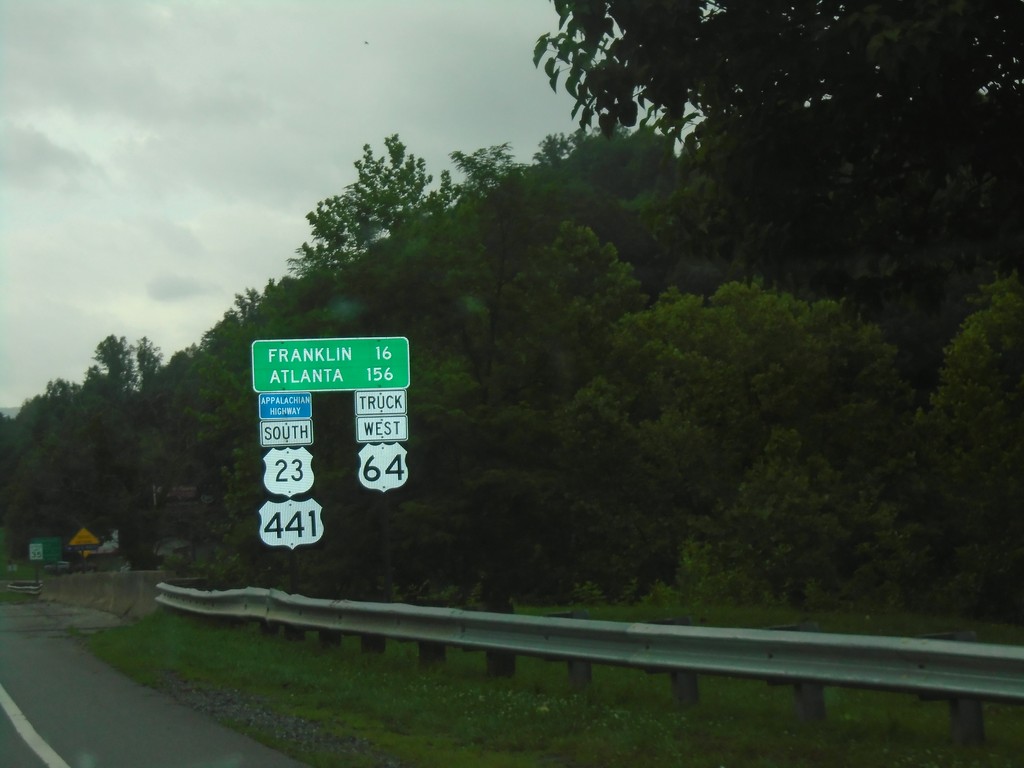
US-23 South/US-441 South/Truck US-64 West - Distance Marker
Distance Marker on US-23 South/US-441 South/Truck US-64 West. Distance to Franklin and Atlanta (GA). This route is part of the Appalachian Development Highway System.
Taken 06-24-2019
Dillsboro
Jackson County
North Carolina
United States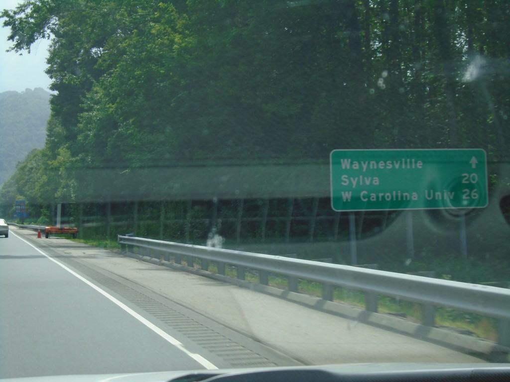
US-23 South/US-74 West - Distance Marker
Distance marker on US-23 South/US-74 West - Distance to Waynesville, Sylva, Western Carolina University.
Taken 06-24-2019
 Waynesville
Haywood County
North Carolina
United States
Waynesville
Haywood County
North Carolina
United States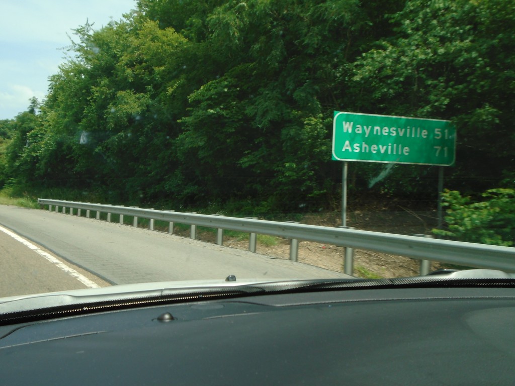
I-40 East - Distance Marker
Distance marker on I-40 east. Distance to Waynesville (NC) and Asheville (NC).
Taken 06-24-2019
 Newport
Cocke County
Tennessee
United States
Newport
Cocke County
Tennessee
United States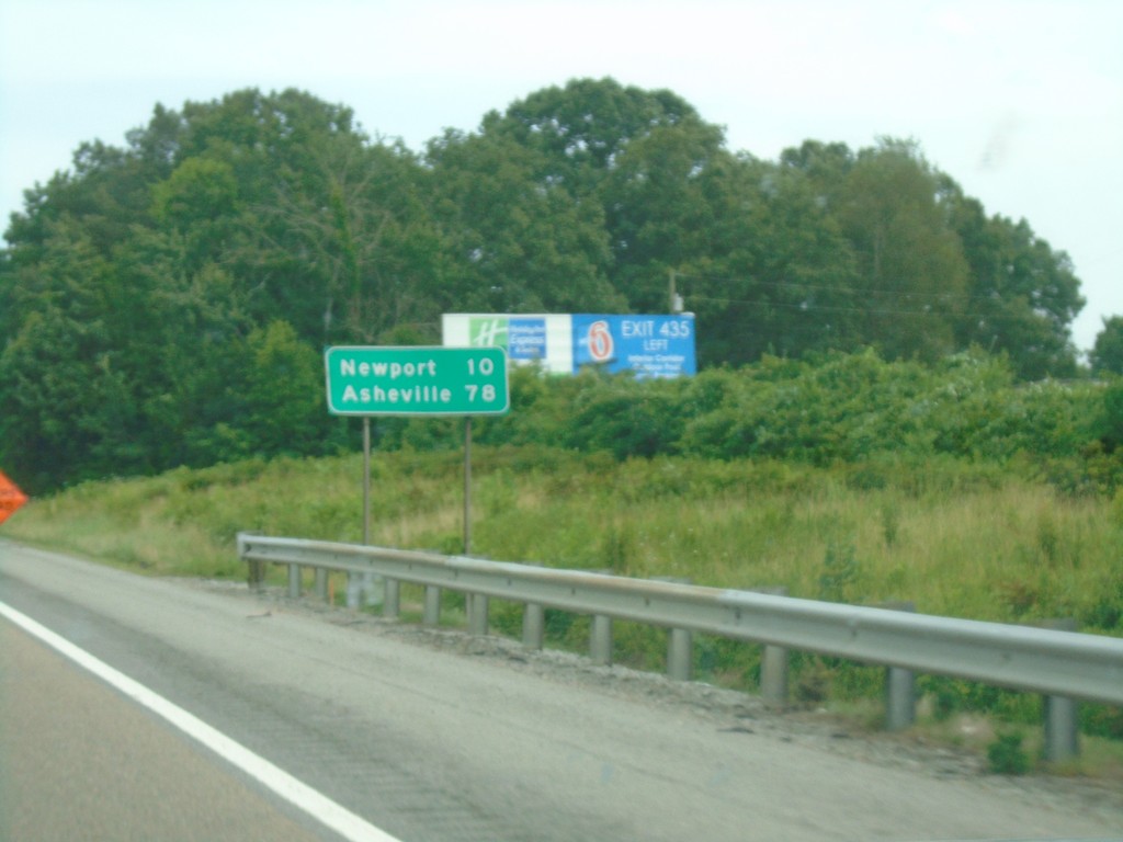
I-40 East - Distance Marker
Distance marker on I-40 East. Distance to Newport and Asheville (NC).
Taken 06-24-2019
Dandridge
Jefferson County
Tennessee
United States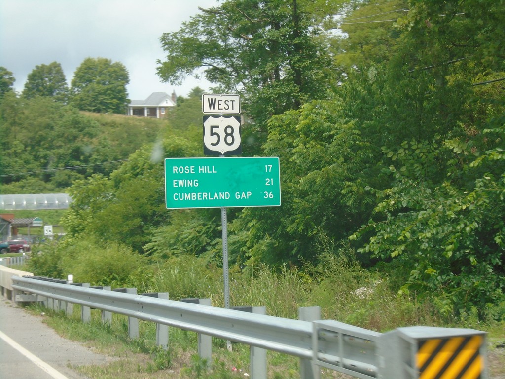
US-58 West - Distance Marker
Distance marker on US-58 west. Distance to Rose Hill, Ewing, and Cumberland Gap (TN).
Taken 06-24-2019
 Jonesville
Lee County
Virginia
United States
Jonesville
Lee County
Virginia
United States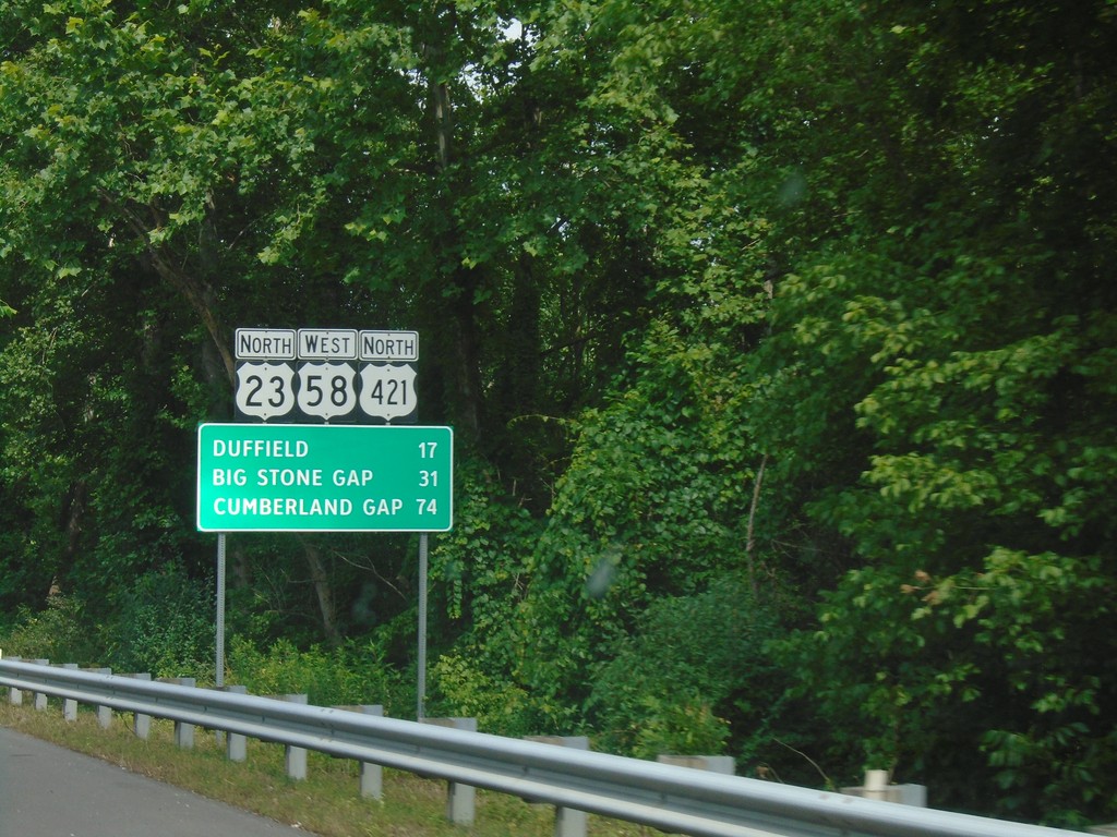
US-23 North/US-58 West/US-421 North - Distance Marker
Distance Marker on US-23 North/US-58 West/US-421 North. Distance to Duffield, Big Stone Gap, and Cumberland Gap.
Taken 06-24-2019
 Gate City
Scott County
Virginia
United States
Gate City
Scott County
Virginia
United States