Signs Tagged With Distance Marker
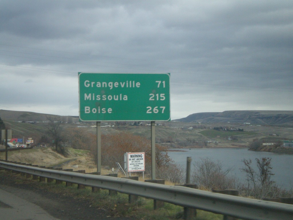
US-12 East/US-95 South - Distance Marker
Distance marker on US-95 South/US-12 East to Grangeville, Missoula (MT - via US-12), and Boise. The Clearwater River is on the right side of the picture.
Taken 12-26-2007

 Lewiston
Nez Perce County
Idaho
United States
Lewiston
Nez Perce County
Idaho
United States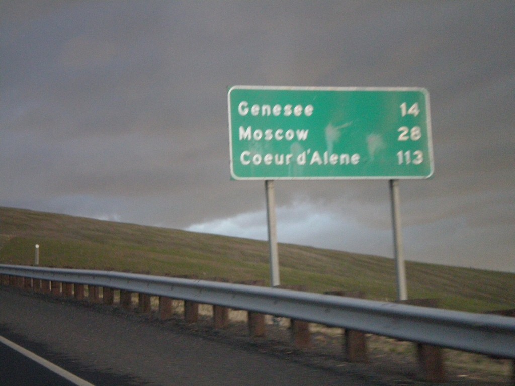
US-95 North - Distance Marker
Distance Marker on US-95 north to Genesee, Moscow, and Coeur d’Alene on Lewiston Hill.
Taken 12-24-2007
Lewiston
Nez Perce County
Idaho
United States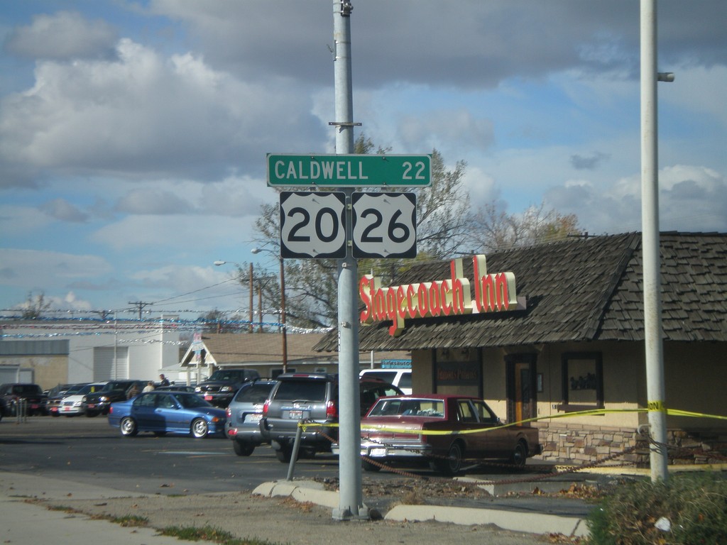
US-20/US-26 West - Distance Marker
Distance marker on US-20/US-26 West (Chinden Blvd.) to Caldwell.
Taken 10-20-2007

 Garden City
Ada County
Idaho
United States
Garden City
Ada County
Idaho
United States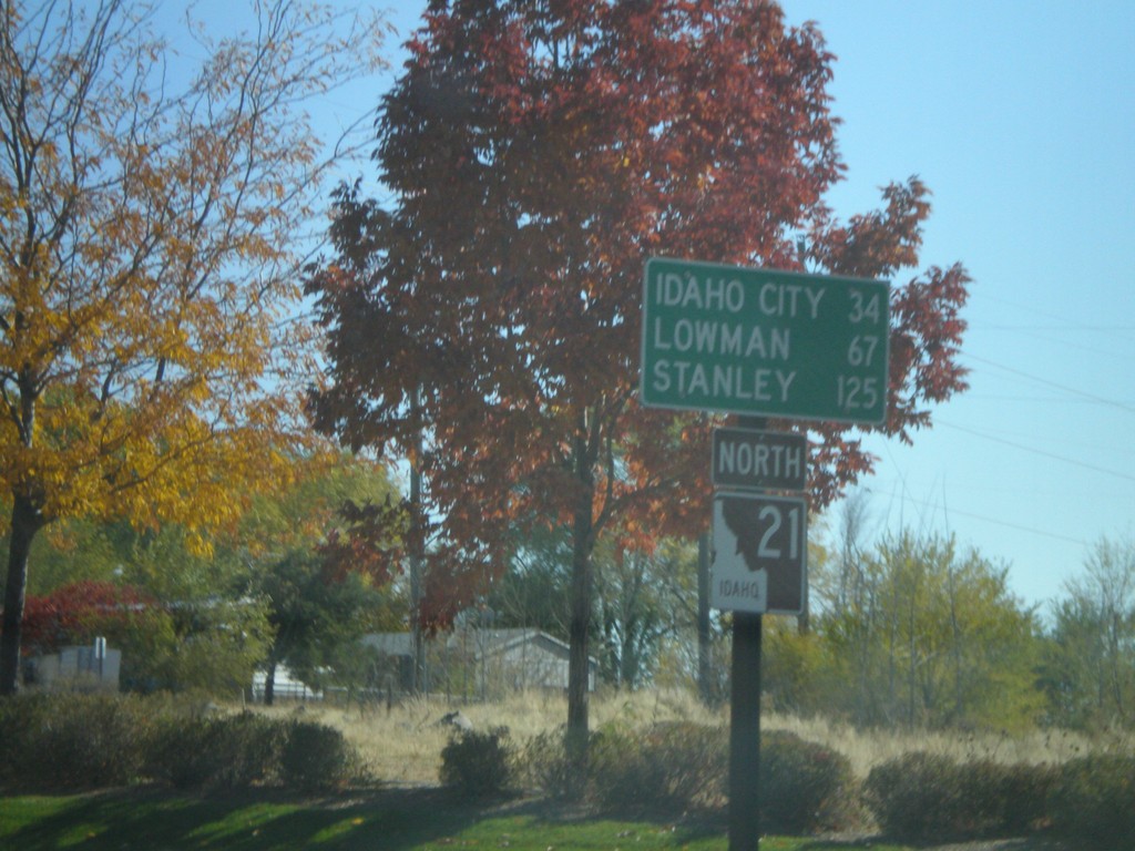
ID-21 North - Distance Marker
First distance marker on ID-21 North to Idaho City, Lowman, and Stanley.
Taken 10-13-2007
 Boise
Ada County
Idaho
United States
Boise
Ada County
Idaho
United States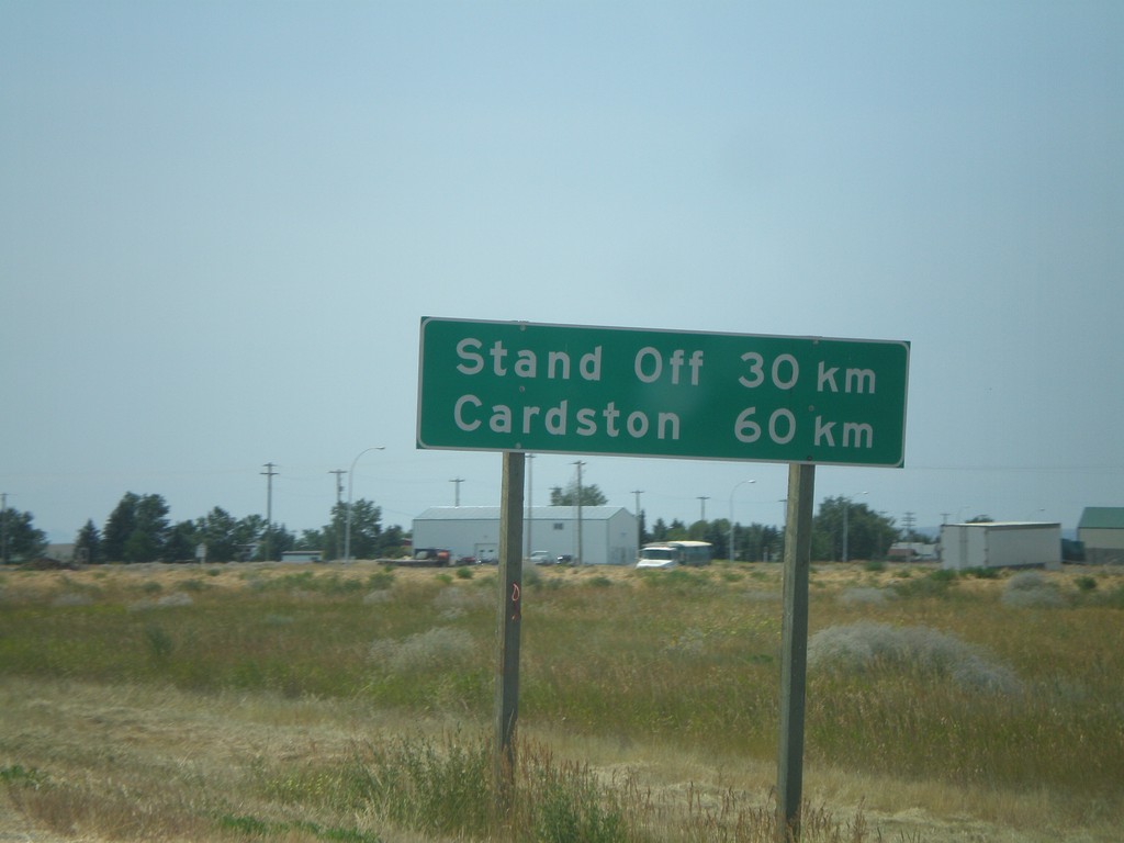
Distance Marker on AB-2 South
Distance marker on AB-2 south of AB-3, to Stand Off and Cardston.
Taken 07-19-2007
 Fort Macleod
Willow Creek No. 26
Alberta
Canada
Fort Macleod
Willow Creek No. 26
Alberta
Canada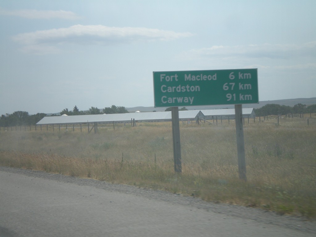
Distance Marker on AB-2 South
Distance marker on AB-2 south to Fort Macleod, Cardston, and Carway, south of ABS-785.
Taken 07-19-2007
Fort Macleod
Willow Creek No. 26
Alberta
Canada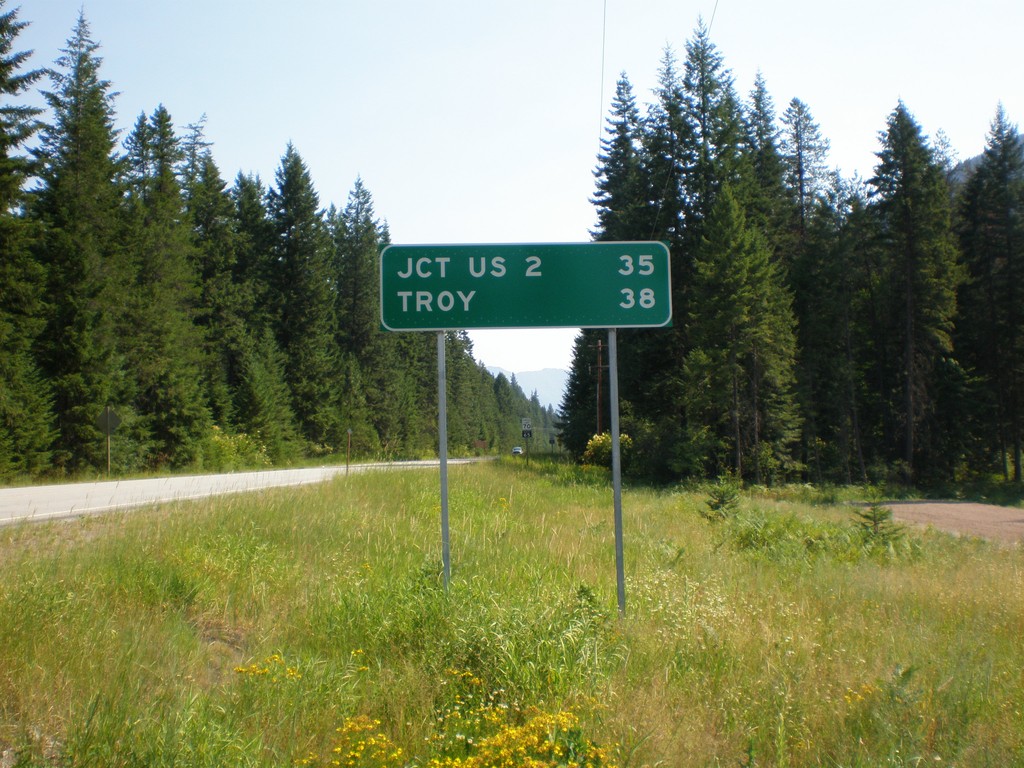
MT-56 North - Distance Marker
Begin MT-56 north to Troy and US-2.
Taken 07-16-2007
 Noxon
Sanders County
Montana
United States
Noxon
Sanders County
Montana
United States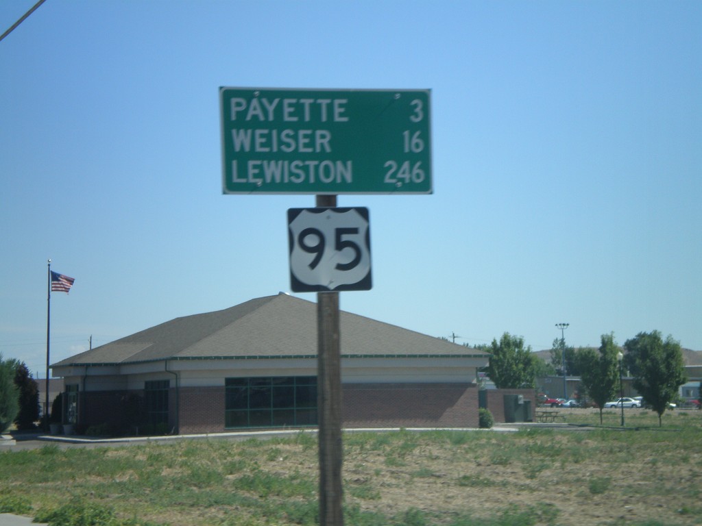
Distance Marker on US-95 North - Fruitland
US-95 north - distance marker. Distance to Payette, Weiser, and Lewiston.
Taken 06-30-2007
Fruitland
Payette County
Idaho
United States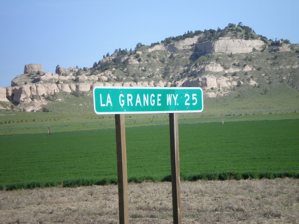
NE-88 West - Distance Marker
Distance marker to LaGrange (WY), on NE-88 west of NE-71.
Taken 05-27-2007
 Harrisburg
Banner County
Nebraska
United States
Harrisburg
Banner County
Nebraska
United States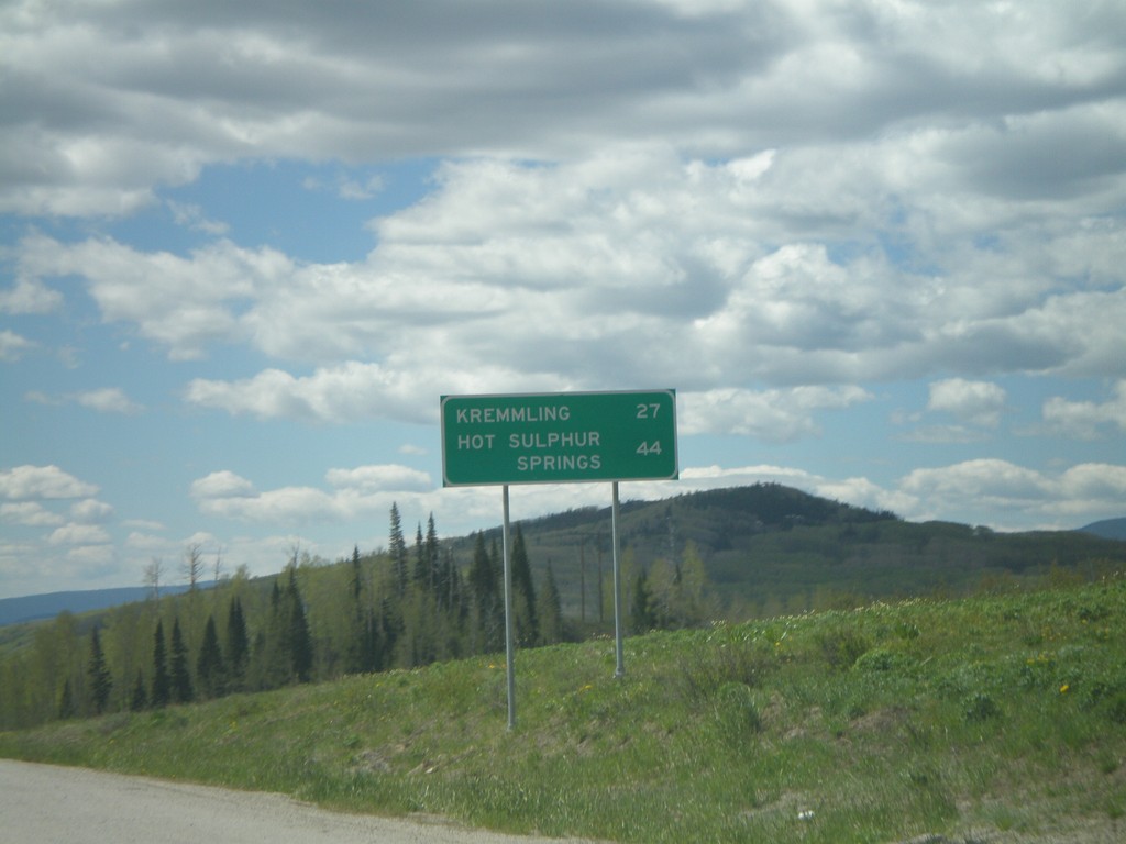
US-40 East - Distance Marker
Distance marker on US-40 east to Kremmling and Hot Sulphur Springs on Muddy Pass.
Taken 05-25-2007
 Kremmling
Grand County
Colorado
United States
Kremmling
Grand County
Colorado
United States