Signs Tagged With Distance Marker
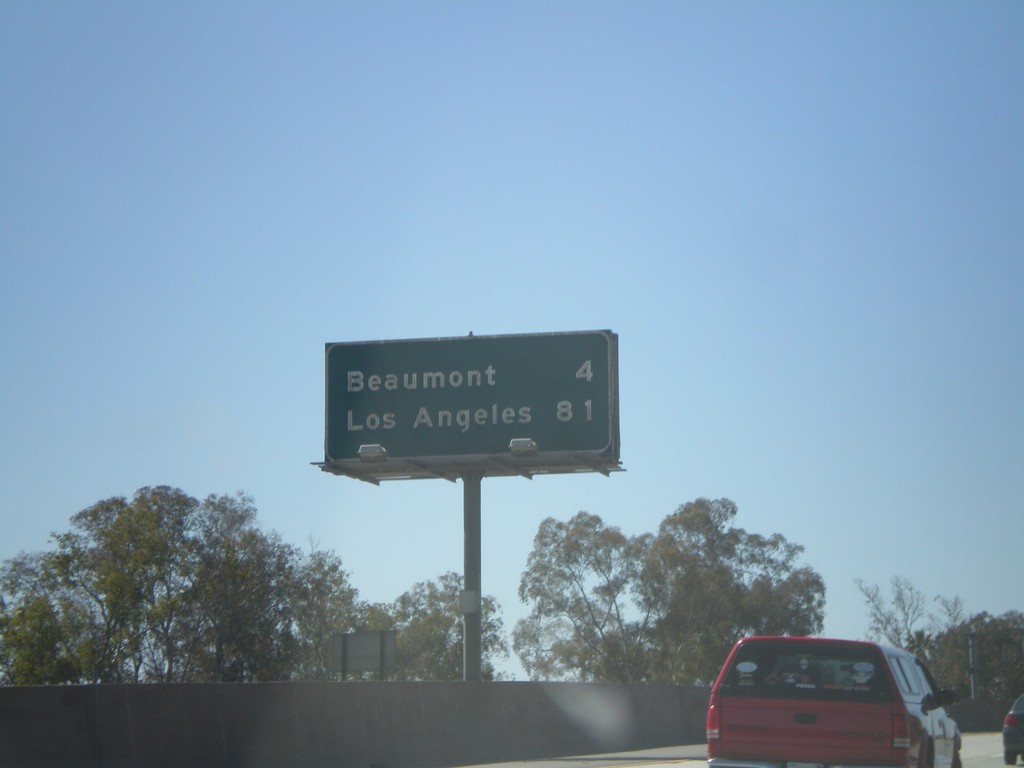
I-10 West - Distance Marker
Distance marker on I-10 west to Beaumont, and Los Angeles.
Taken 02-28-2011
 Banning
Riverside County
California
United States
Banning
Riverside County
California
United States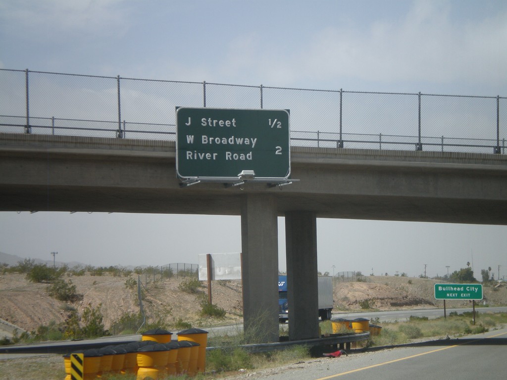
I-40 West - Needles Exits
Needles Exits on I-40 west. The next two exits are J St. and West Broadway/River Road. Sign in background directs Bullhead City (Arizona) traffic to use the J St. exit.
Taken 02-25-2011

 Needles
San Bernardino County
California
United States
Needles
San Bernardino County
California
United States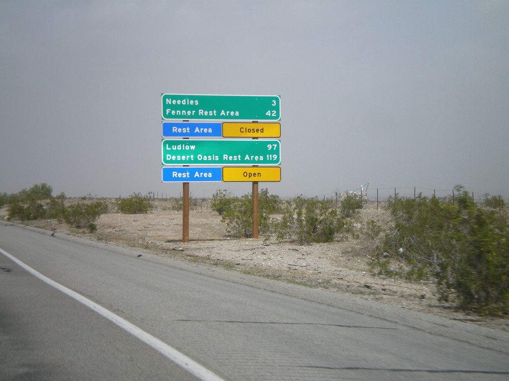
I-40 West - Mojave Desert Services
Services in the Mojave Desert along I-40 west between here and Newberry Springs. Both Needles and Ludlow have services. Also, distance to the next Rest Areas and their status.
Taken 02-25-2011
Needles
San Bernardino County
California
United States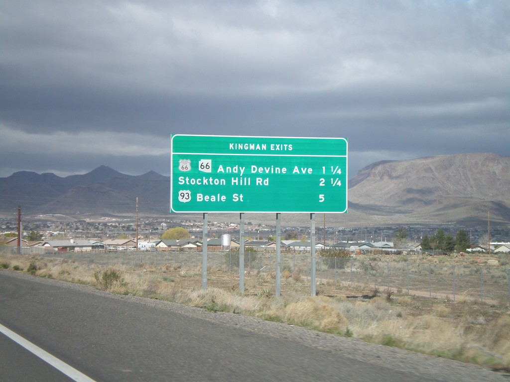
I-40 West - Kingman Exits
Kingman exits on I-40 west: Historic Loop US-66/AZ-66/Andy Devine Ave., Stockton Hill Road, US-93 Beale St.
Taken 02-25-2011


 Kingman
Mohave County
Arizona
United States
Kingman
Mohave County
Arizona
United States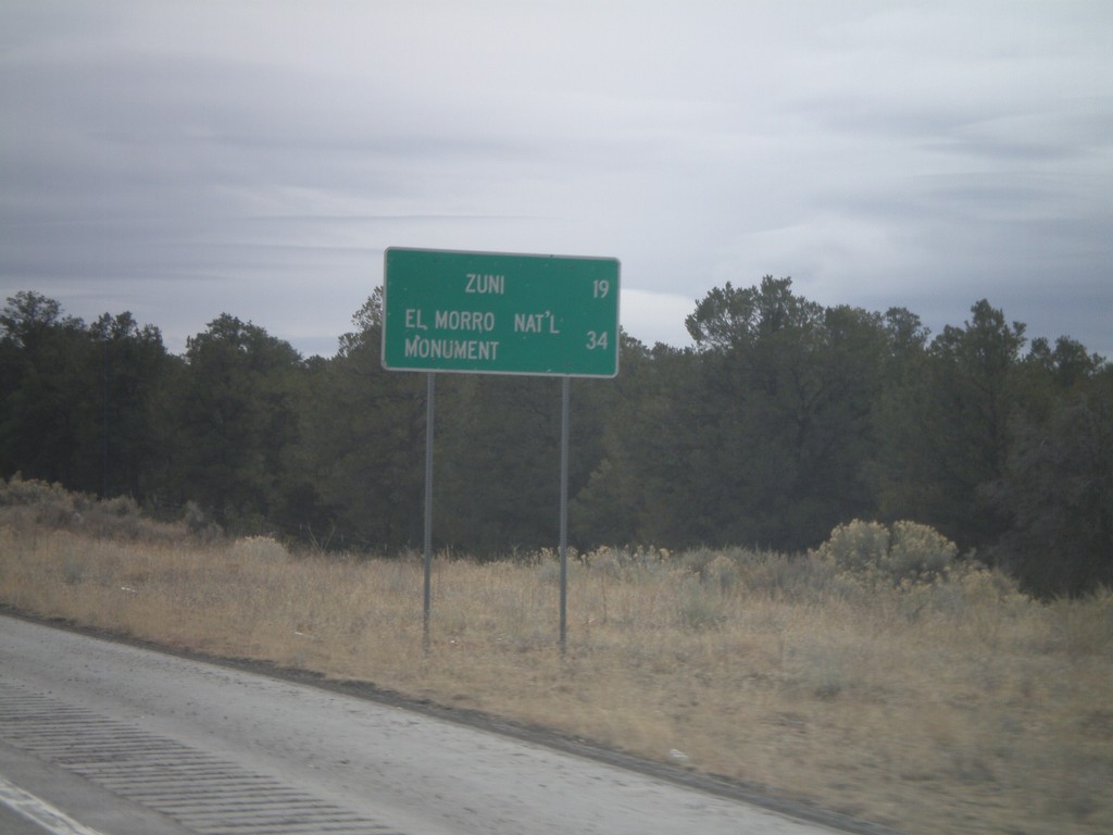
NM-602 South - Distance Marker
Distance marker on NM-602 south to Zuni, and El Morro National Monument.
Taken 02-24-2011
 Vanderwagen
McKinley County
New Mexico
United States
Vanderwagen
McKinley County
New Mexico
United States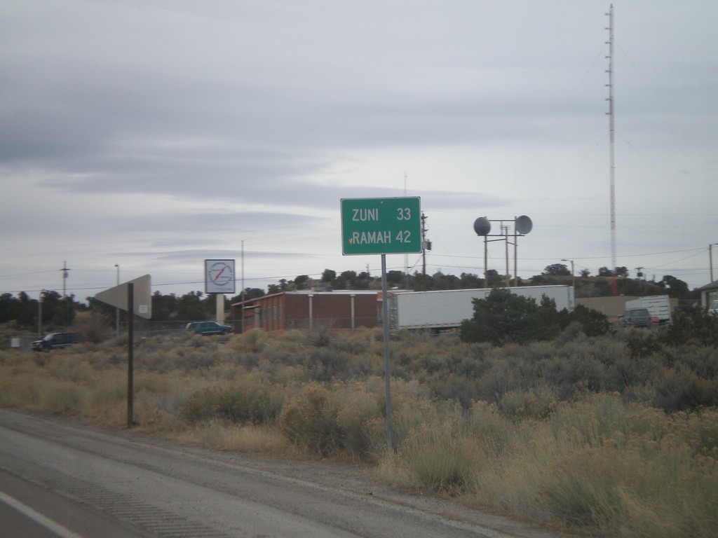
NM-602 South - Distance Marker
Distance marker on NM-602 south to Zuni, and Ramah.
Taken 02-24-2011
Gallup
McKinley County
New Mexico
United States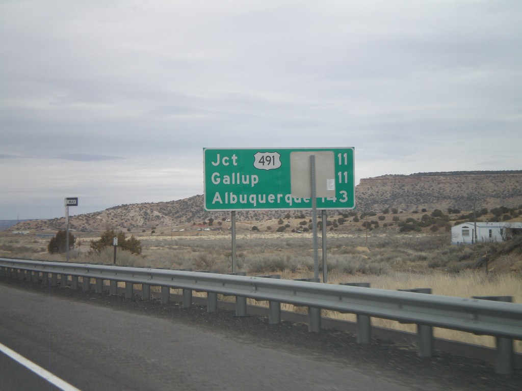
Distance Marker on I-40 East
Distance marker on I-40 east. Distance to US-491, Gallup, and Albuquerque.
Taken 02-24-2011
 Gallup
McKinley County
New Mexico
United States
Gallup
McKinley County
New Mexico
United States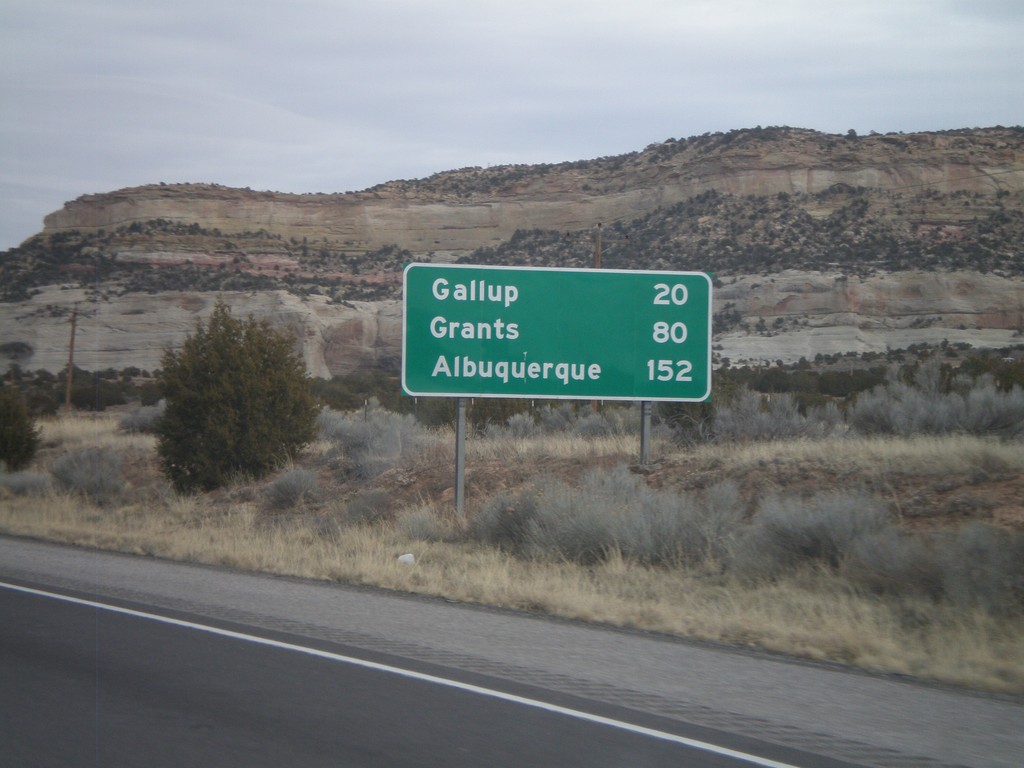
I-40 East - Distance Marker
First distance marker inside New Mexico on I-40 eastbound. Distance to Gallup, Grants, and Albuquerque.
Taken 02-24-2011
Gallup
McKinley County
New Mexico
United States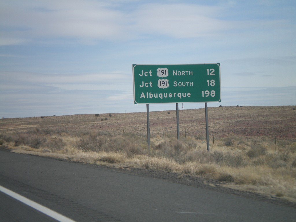
I-40 East - Distance Marker
Distance marker on I-40 east to Jct. US-191 North, Jct. US-191 South, and Albuquerque.
Taken 02-24-2011
 Chambers
Apache County
Arizona
United States
Chambers
Apache County
Arizona
United States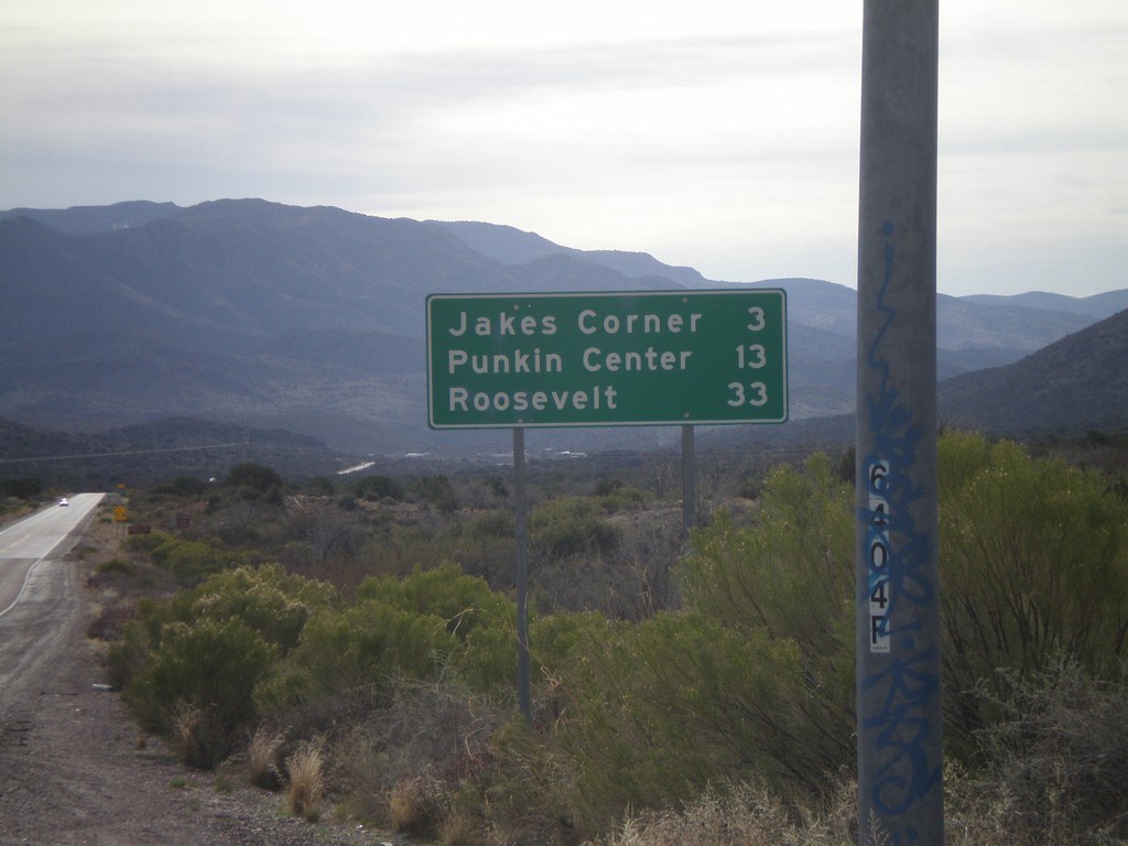
AZ-188 South - Distance Marker
Distance marker on AZ-188 south to Jakes Corner, Punkin Center, and Roosevelt.
Taken 02-24-2011
 Payson
Gila County
Arizona
United States
Payson
Gila County
Arizona
United States