Signs Tagged With Distance Marker
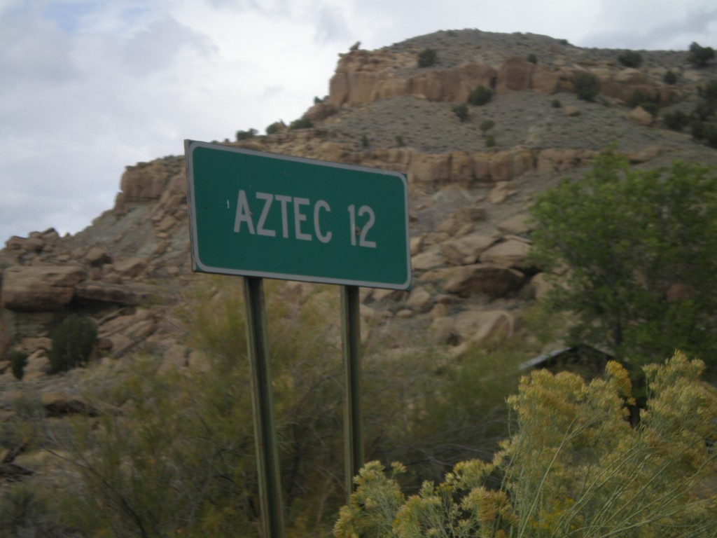
NM-575 North - Distance Marker
Distance marker on NM-575 north to Aztec.
Taken 10-07-2011
 Blanco
San Juan County
New Mexico
United States
Blanco
San Juan County
New Mexico
United States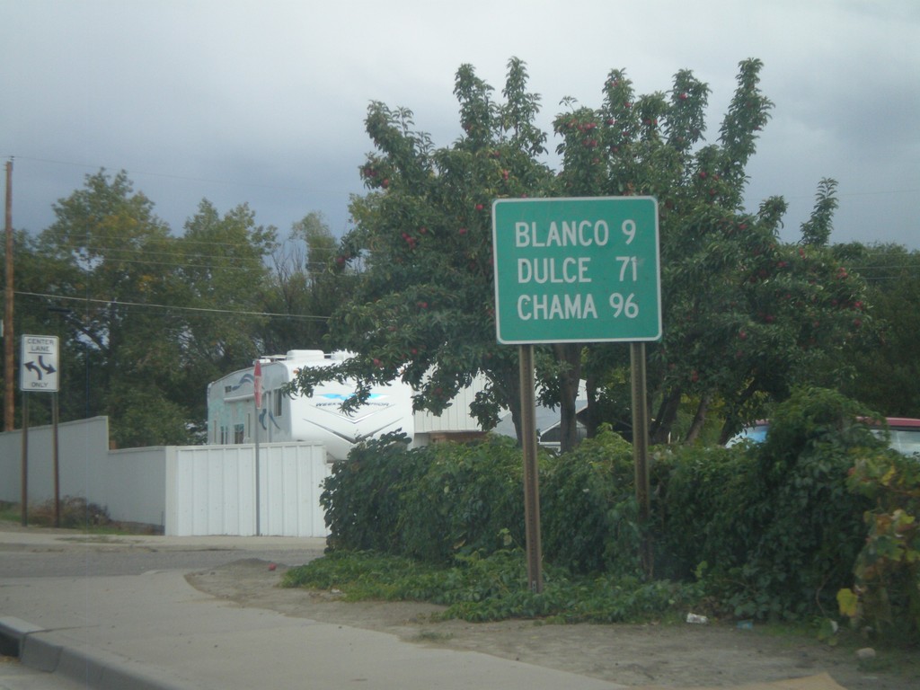
US-64 East - Distance Marker
Distance marker on US-64 east to Blanco, Dulce, and Chama.
Taken 10-07-2011
 Bloomfield
San Juan County
New Mexico
United States
Bloomfield
San Juan County
New Mexico
United States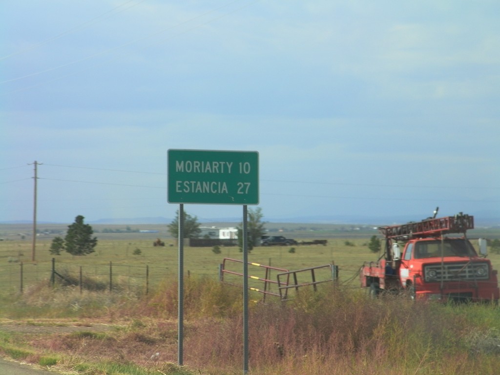
NM-41 South - Distance Marker
Distance marker on NM-41 south to Moriarty and Estancia.
Taken 10-04-2011
 Santa Fe County
New Mexico
United States
Santa Fe County
New Mexico
United States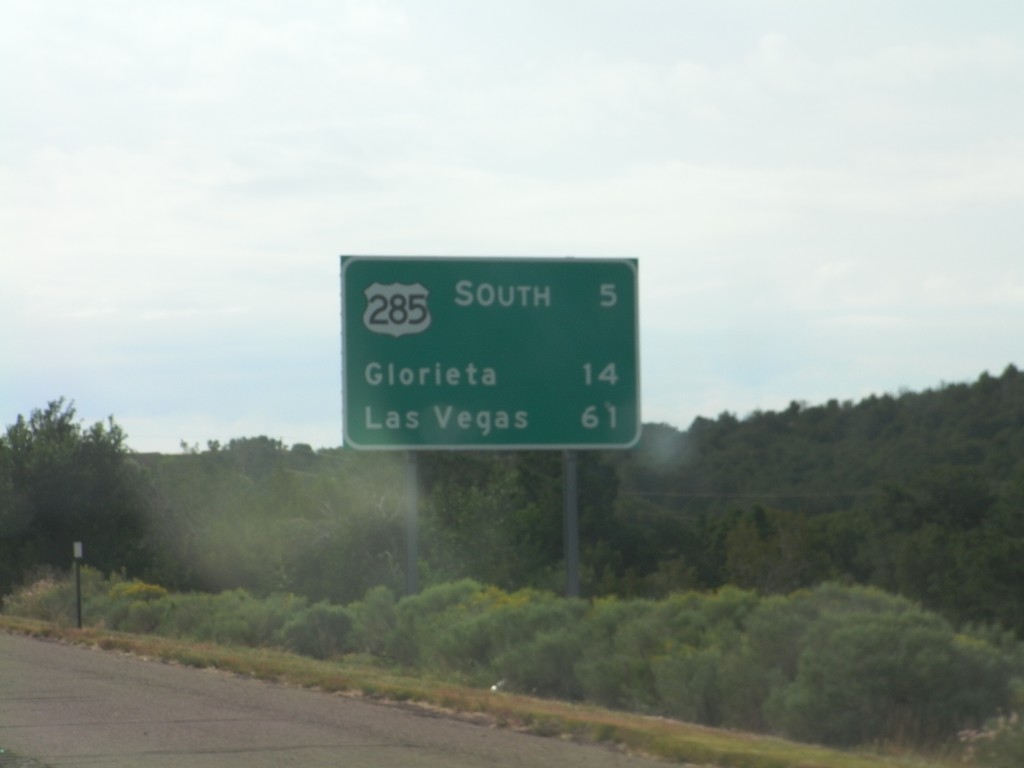
I-25 North - Distance Marker
Distance marker on I-25 north, leaving Santa Fe. Distance to US-285 Jct., Glorieta, and Las Vegas.
Taken 10-04-2011


 Santa Fe
 County
New Mexico
United States
Santa Fe
Santa Fe County
New Mexico
United States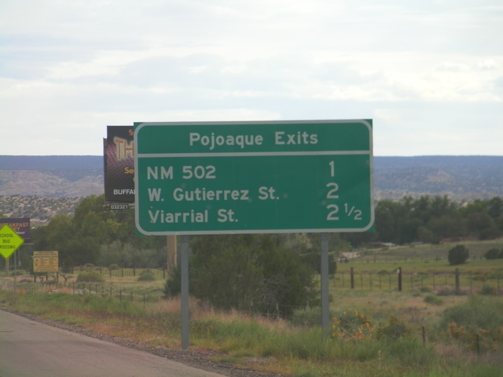
Pojoaque Exits - US-84/US-285 South
Pojoaque Exits on US-84/US-285 South: NM-502, W. Gutierrez St., Viarrial St. The later two exits are actually intersections controlled by traffic signals.
Taken 10-03-2011
Santa Fe
Santa Fe County
New Mexico
United States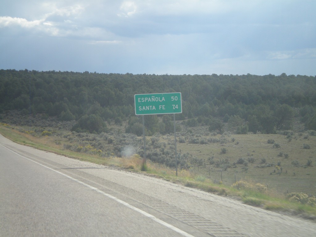
US-84 South - Distance Marker
Distance marker on US-84 south to Española and Santa Fe.
Taken 10-02-2011
Abiquiu
Rio Arriba County
New Mexico
United States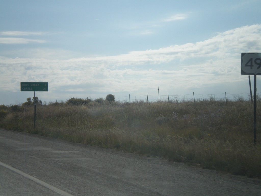
US-491 South - Distance Marker
Distance marker on US-491 south just past the CO-141 junction. Distance to Dove Creek and Cortez.
Taken 10-02-2011
 Dove Creek
Dolores County
Colorado
United States
Dove Creek
Dolores County
Colorado
United States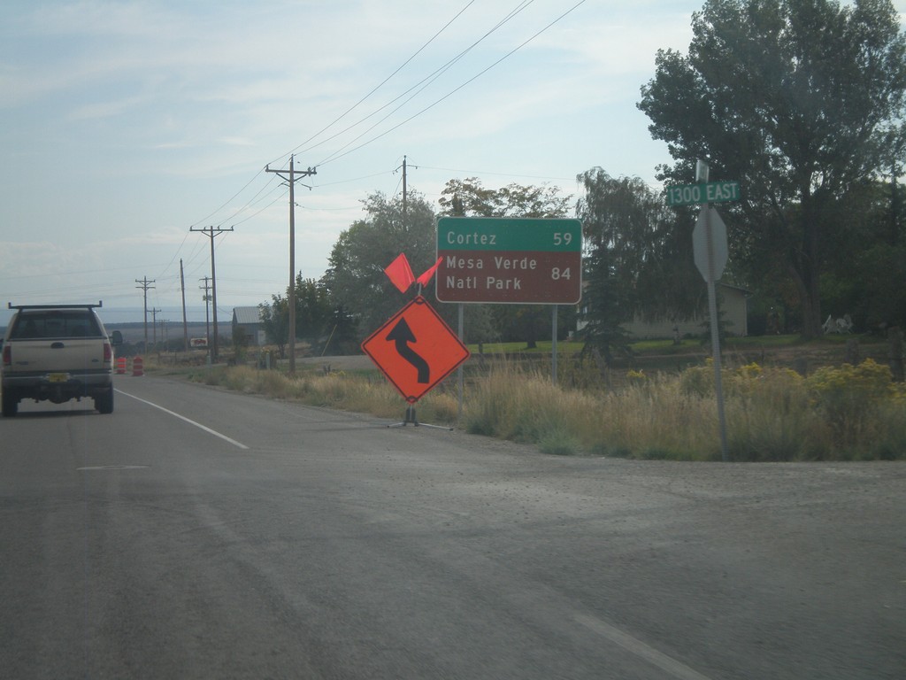
US-491 South - Distance Marker
Distance marker on US-491 south. Distance to Cortez and Mesa Verde National Park (both in Colorado). Taken on the east side of Monticello.
Taken 10-02-2011
Monticello
San Juan County
Utah
United States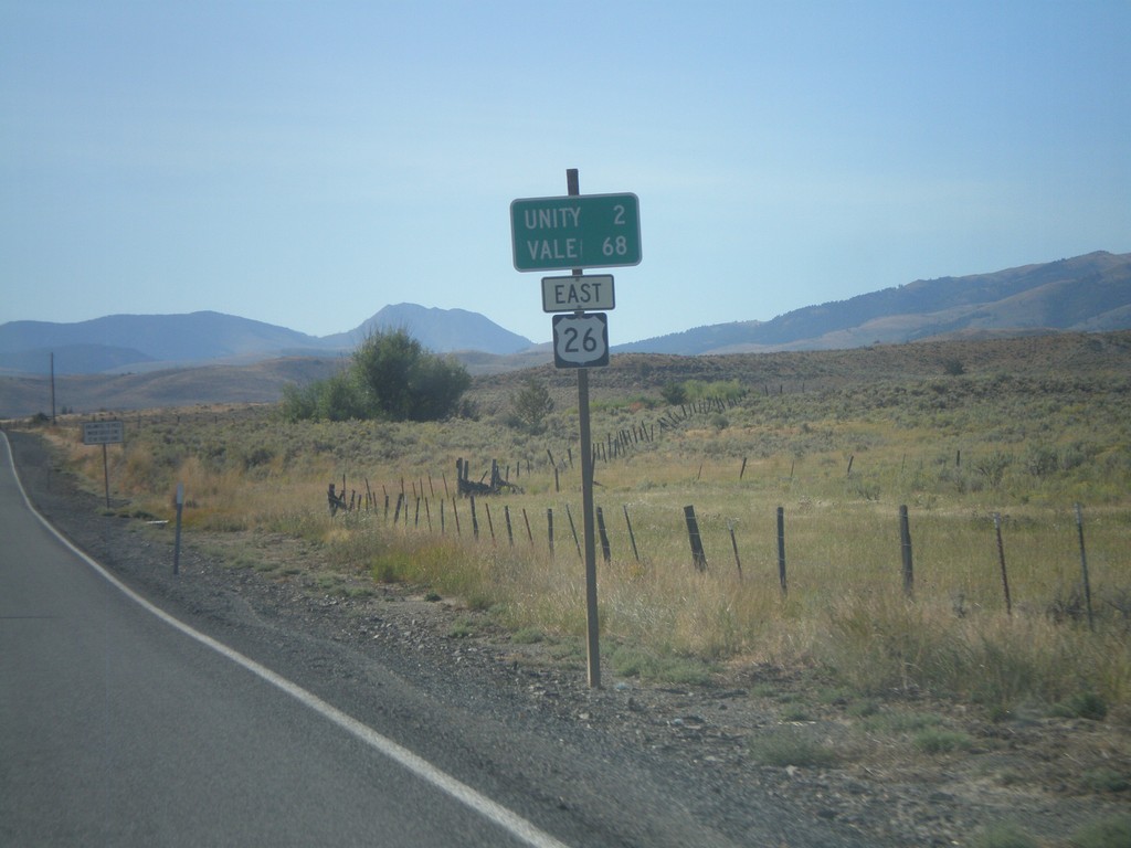
US-26 East - Distance Marker
Distance marker on US-26 east to Unity and Vale.
Taken 09-04-2011
 Unity
Baker County
Oregon
United States
Unity
Baker County
Oregon
United States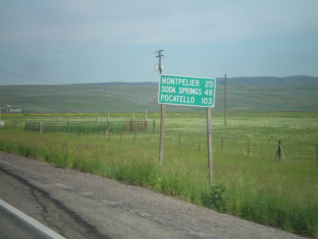
US-30 West - Distance Marker
First distance marker on US-30 west in Idaho. Distance to Montpelier, Soda Springs, and Pocatello.
Taken 07-05-2011
 Montpelier
Bear Lake County
Idaho
United States
Montpelier
Bear Lake County
Idaho
United States