Signs Tagged With Bridge
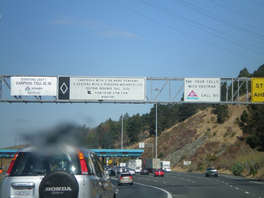
I-80 East - Carquinez Bridge Toll Plaza
Approaching the Carquinez Bridge Toll Plaza on I-80 east. When this photo was taken in Fall 2010, the auto toll was $5.00. The Carquinez Bridge crosses the Carquinez Straits, through which the Sacramento and San Joaquin Delta empty into, before reaching the San Pablo Bay.
Taken 10-01-2010
 Vallejo
Solano County
California
United States
Vallejo
Solano County
California
United States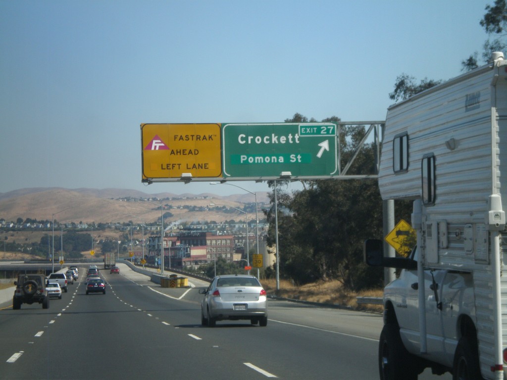
I-80 East - Exit 26
I-80 east at Exit 26 - Crockett/Pomona St. The Carqinuez Bridge bridge over the Carquinez Straits begins here. The eastbound direction over the bridge pays tolls. All Fastrak users, use the left lane. Fastrak is a transponder system used to pay tolls in California.
Taken 10-01-2010
Crockett
Contra Costa County
California
United States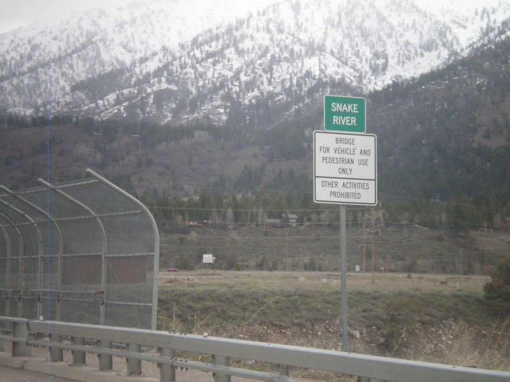
US-89 North - Snake River
Crossing the Snake River on US-89 north.
Taken 05-01-2010
 Alpine
Lincoln County
Wyoming
United States
Alpine
Lincoln County
Wyoming
United States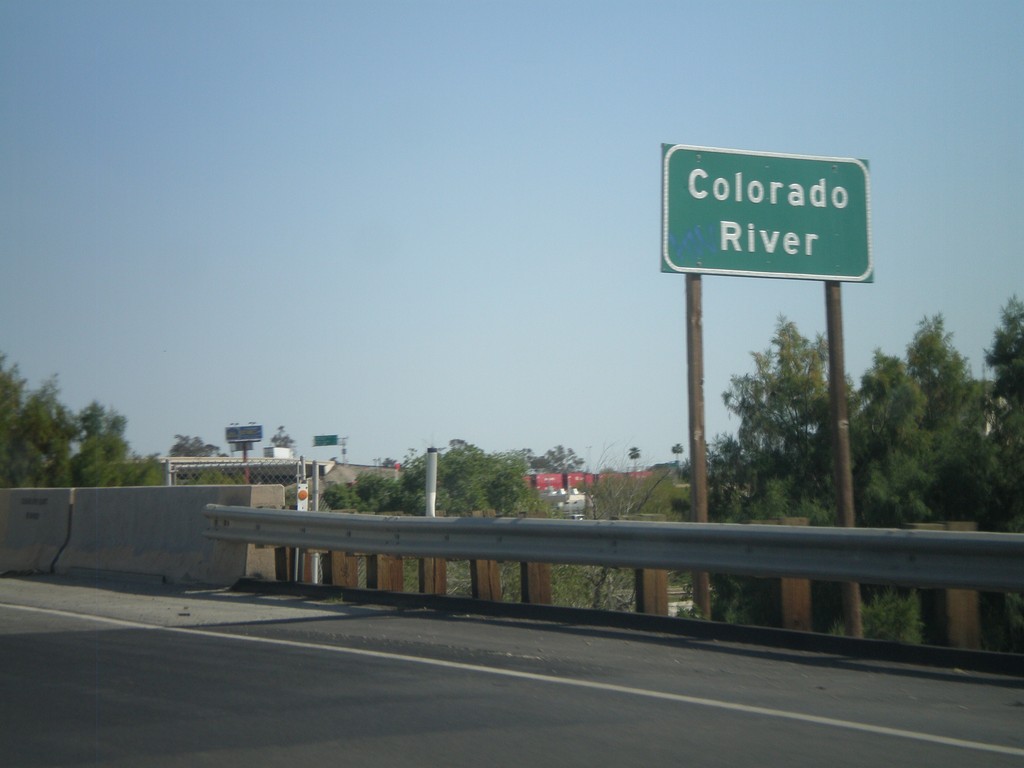
I-8 East - Colorado River
I-8 east at the Colorado River. The Colorado River marks the boundary between California and Arizona.
Taken 03-20-2010
 Winterhaven
Imperial County
California
United States
Winterhaven
Imperial County
California
United States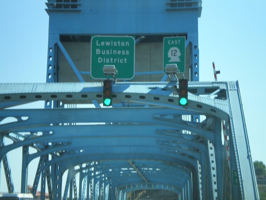
US-12 East - Idaho State Line
Errant US-12 shield displayed as a state route shield on the Interstate bridge over the Snake River on the Idaho border.
Taken 07-27-2008
 Clarkston
Asotin County
Washington
United States
Clarkston
Asotin County
Washington
United States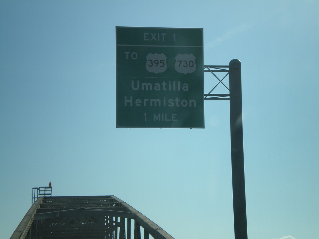
I-82 East - Exit 1 (Oregon)
I-82 east on the Columbia River bridge approaching Oregon Exit 1, To US-395/US-730/Hermiston/Umatilla.
Taken 01-22-2008


 Plymouth
Benton County
Washington
United States
Plymouth
Benton County
Washington
United States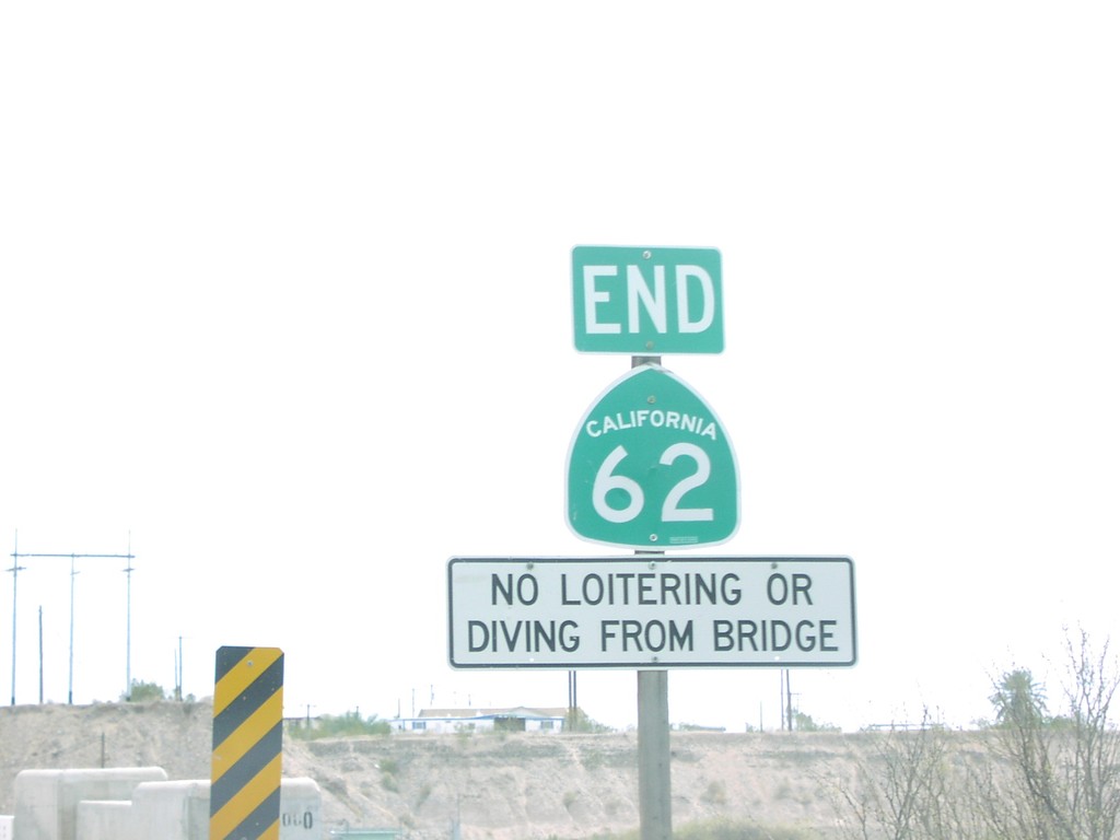
End CA-62 East - Arizona Border
End CA-62 east at the Colorado River, California-Arizona Line
Taken 03-01-2006
 Bluewater
San Bernardino County
California
United States
Bluewater
San Bernardino County
California
United States