Signs Tagged With Big Green Sign
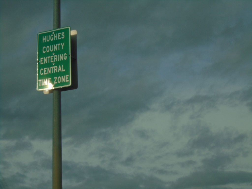
US-14/SD-34 East/US-83 North - Entering Hughes County/Central Time Zone
Entering Hughes County/Central Time Zone on US-14/SD-34 East/US-83 North. The county/time zone boundary is on the Missouri River bridge.
Taken 04-30-2022


 Fort Pierre
Stanley County
South Dakota
United States
Fort Pierre
Stanley County
South Dakota
United States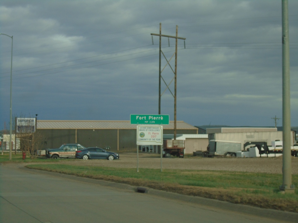
US-14/SD-34 East - Fort Pierre
Entering Fort Pierre on US-14/SD-34 East. Fort Pierre is the county seat of Stanley County, and is directly across the Missouri River from Pierre. Fort Pierre is also in Mountain Time, while across the river the city of Pierre is in Central Time.
Taken 04-30-2022
Fort Pierre
Stanley County
South Dakota
United States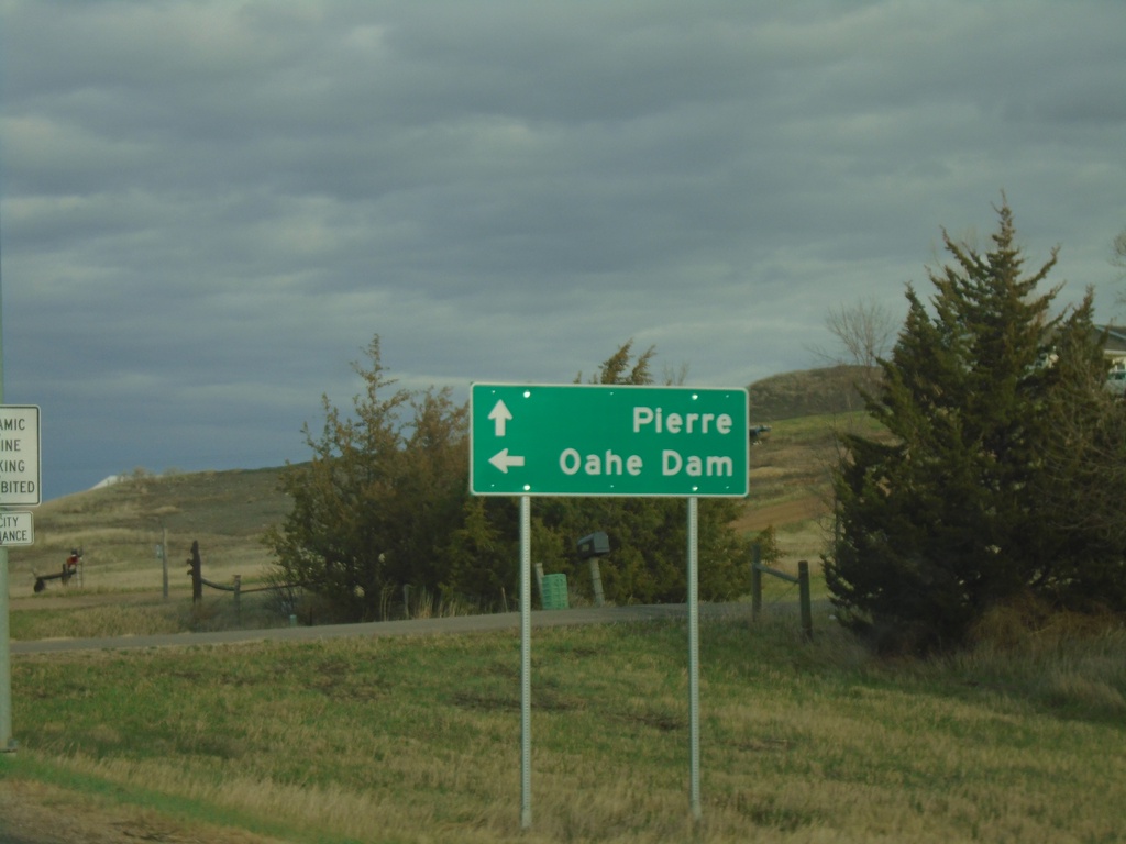
US-14/SD-34 East Approaching at SD-1806
US-14/SD-34 East approaching at SD-1806 North to Oahe Dam. Continue east on US-14/SD-34 to Pierre.
Taken 04-30-2022
 Fort Pierre
Stanley County
South Dakota
United States
Fort Pierre
Stanley County
South Dakota
United States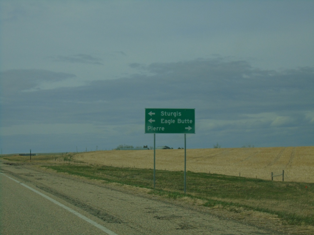
US-14 East/SD-63 North Approaching SD-34
US-14 East/SD-63 North approaching SD-34. Use US-14 East/SD-34 East to Pierre; SD-34 East/SD-64 north to Sturgis (via SD-34) and Eagle Butte (via SD-63).
Taken 04-30-2022
 Hayes
Stanley County
South Dakota
United States
Hayes
Stanley County
South Dakota
United States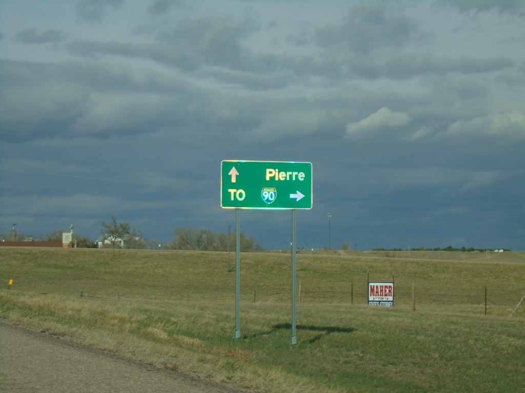
US-14 East at SD-63
US-14 East at SD-63 in Midland. Use SD-63 south to I-90 junction. Continue on US-14/SD-63 for Pierre. SD-63 north joins US-14 eastbound.
Taken 04-30-2022
 Midland
Haakon County
South Dakota
United States
Midland
Haakon County
South Dakota
United States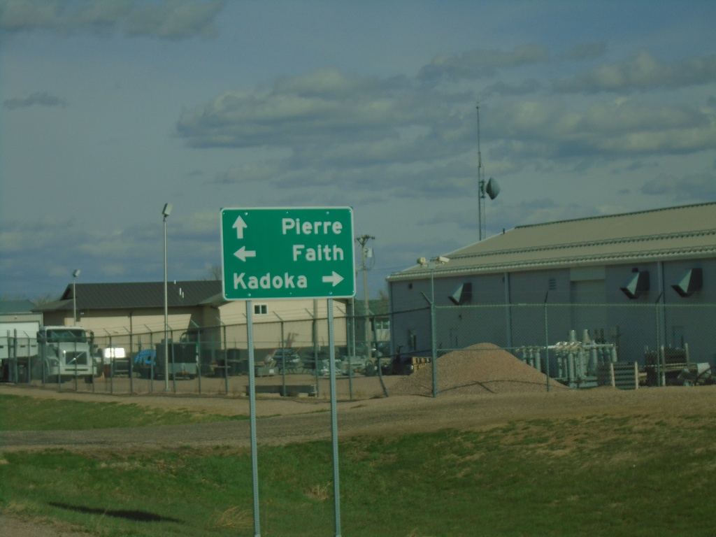
US-14 East at SD-73
US-14 East at SD-73 in Phillip. Use SD-73 south to Kadoka; SD-73 north to Faith. Continue east on US-14 for Pierre.
Taken 04-30-2022
 Philip
Haakon County
South Dakota
United States
Philip
Haakon County
South Dakota
United States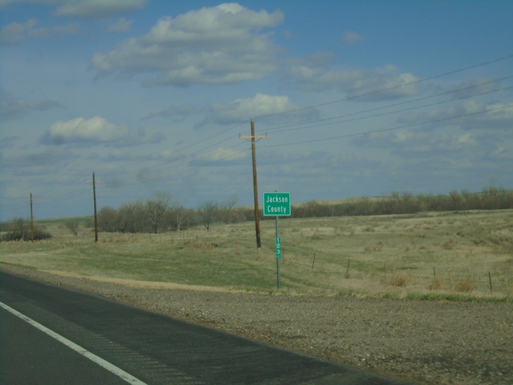
US-14 East - Jackson County
Entering Jackson County on US-14 east.
Taken 04-30-2022
Quinn
Jackson County
South Dakota
United States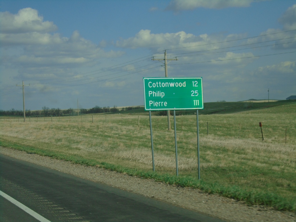
US-14 East - Distance Marker
Distance marker on US-14 east. Distance to Cottonwood, Phillip, and Pierre.
Taken 04-30-2022
Quinn
Pennington County
South Dakota
United States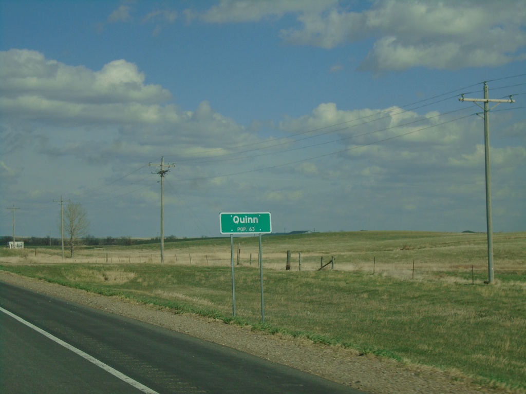
US-14 East - Quinn
Entering Quinn - Population 63 on US-14 east.
Taken 04-30-2022
Quinn
Pennington County
South Dakota
United States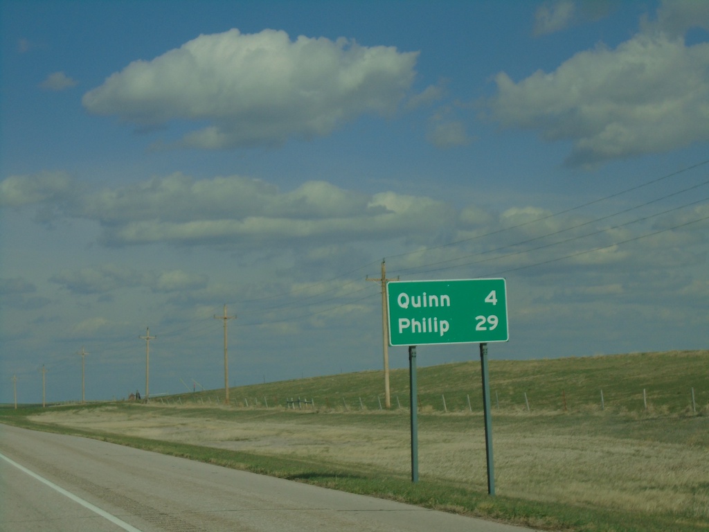
US-14 East - Distance Marker
Distance marker on US-14. Distance to Quinn and Phillip.
Taken 04-30-2022
Quinn
Pennington County
South Dakota
United States