Signs Tagged With Big Green Sign
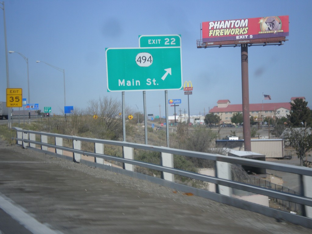
I-10 West - Exit 22
I-10 west at Exit 22 - NM-494/Main St.
Taken 04-14-2013

 Lordsburg
Hidalgo County
New Mexico
United States
Lordsburg
Hidalgo County
New Mexico
United States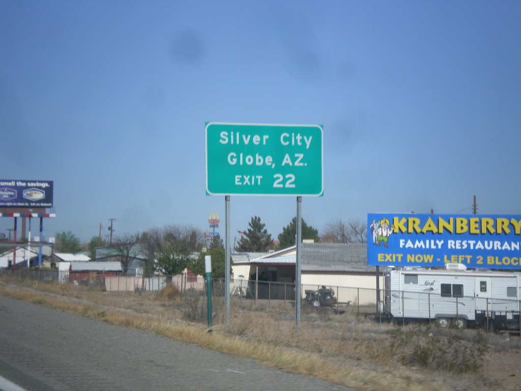
I-10 West Approaching Exit 22
I-10 west approaching Exit 22. Use Exit 22 for Silver City (via NM-90) and Globe, AZ (via US-70).
Taken 04-14-2013
Lordsburg
Hidalgo County
New Mexico
United States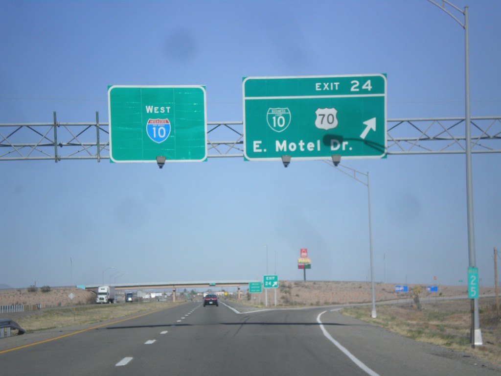
I-10 West - Exit 24
I-10 west at Exit 24 - BL-10/US-70/East Motel Drive.
Taken 04-14-2013

 Lordsburg
Hidalgo County
New Mexico
United States
Lordsburg
Hidalgo County
New Mexico
United States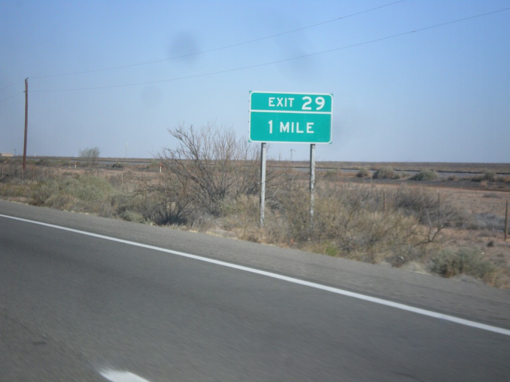
I-10 West - Exit 29
I-10 west approaching Exit 29.
Taken 04-14-2013
Lordsburg
Hidalgo County
New Mexico
United States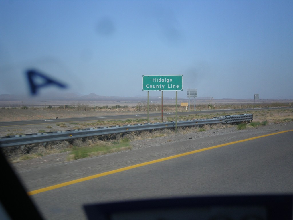
I-10 West - Hidalgo County Line
Hidalgo County Line on I-10 west. Hidalgo County is the in the southwest corner of New Mexico.
Taken 04-14-2013
Silver City
Hidalgo County
New Mexico
United States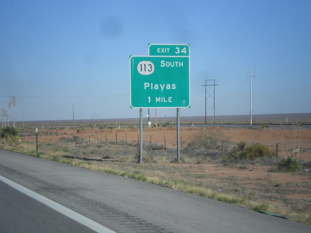
I-10 West - Exit 34
I-10 west approaching Exit 34 - NM-113 South/Playas.
Taken 04-14-2013
 Silver City
Grant County
New Mexico
United States
Silver City
Grant County
New Mexico
United States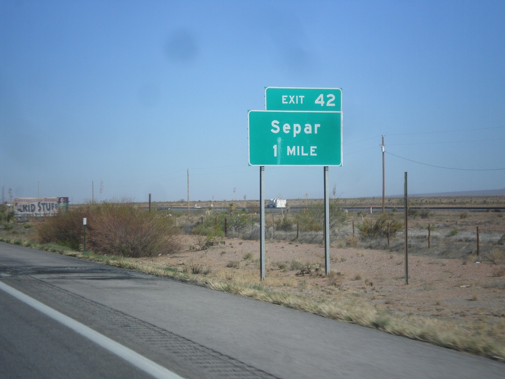
I-10 West - Exit 42
I-10 west at Exit 42 - Separ.
Taken 04-14-2013
Silver City
Grant County
New Mexico
United States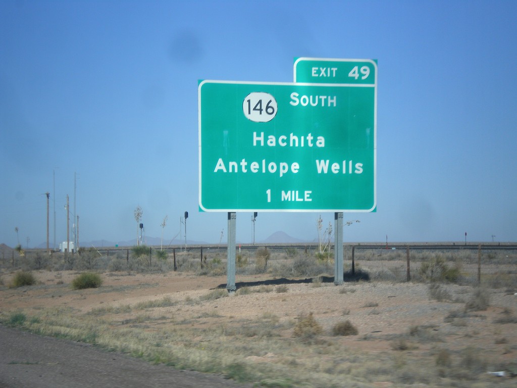
I-10 West - Exit 49
I-10 west approaching Exit 49 - NM-146 South/Hachita/Antelope Wells.
Taken 04-14-2013
 Deming
Grant County
New Mexico
United States
Deming
Grant County
New Mexico
United States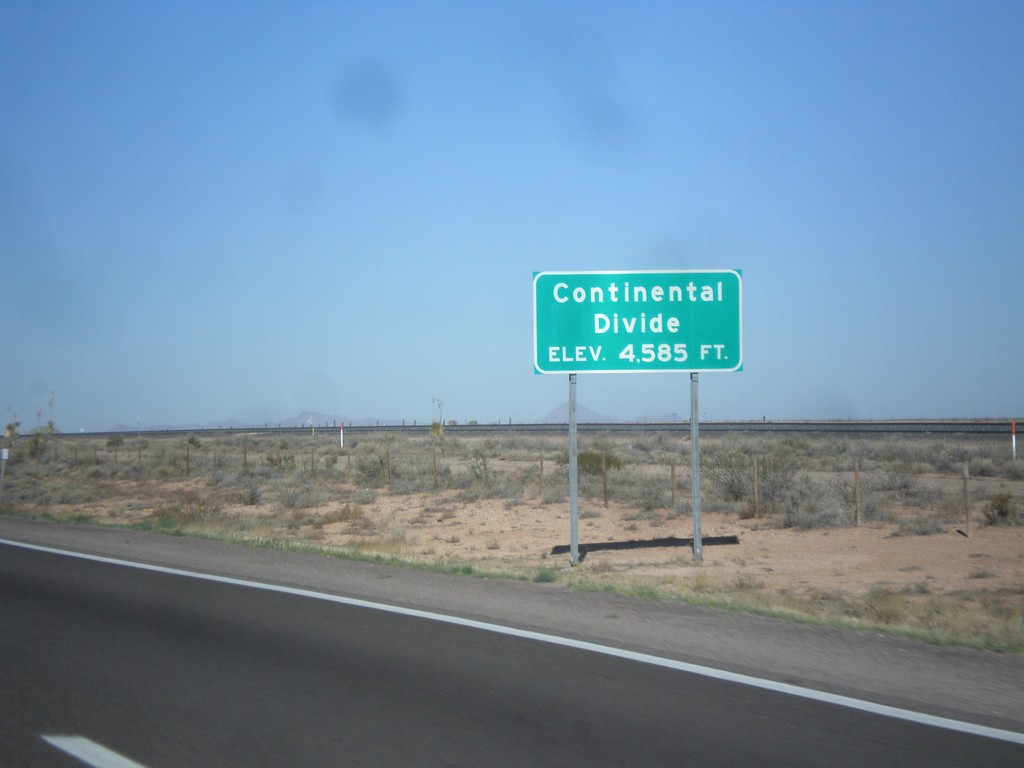
I-10 West - Continental Divide
Continental Divide on I-10 west - Elevation 4,585 Feet. This is the dividing line between the Gila River (flows to Colorado River) and the Mimbres River (flows into a closed basin).
Taken 04-14-2013
Deming
Luna County
New Mexico
United States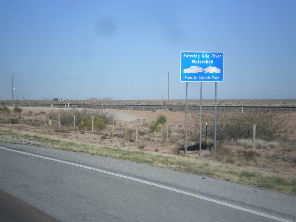
I-10 West - Entering Gila River Watershed
Entering Gila River Watershed on I-10 west. The Gila River flows to the Colorado River. This is the Continental Divide.
Taken 04-14-2013
Wilna
Grant County
New Mexico
United States