Signs Tagged With Big Green Sign
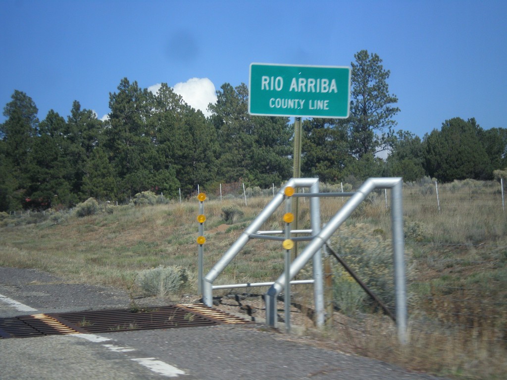
US-64 West - Rio Arriba County Line
Rio Arriba County Line on US-64 west, leaving Tres Piedras.
Taken 10-13-2013
 Tres Piedras
Taos County
New Mexico
United States
Tres Piedras
Taos County
New Mexico
United States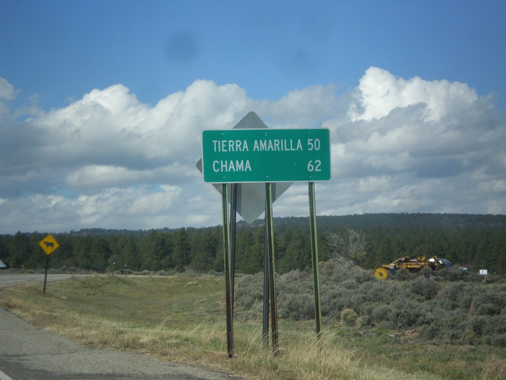
US-64 West - Distance Marker
Distance marker on US-64 west in Tres Piedras. Distance to Tierra Amarilla, and Chama.
Taken 10-13-2013
Tres Piedras
Taos County
New Mexico
United States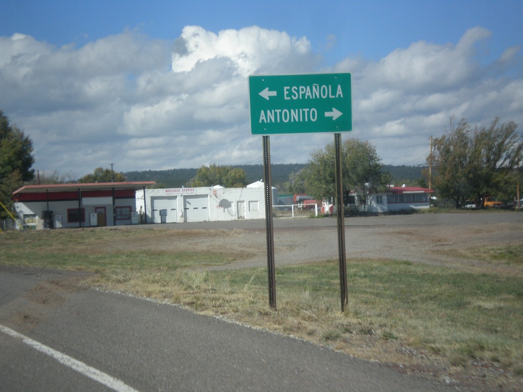
US-64 West at US-285
US-64 west at US-285 in Tres Piedras. Turn right for US-285 north to Antonito (Colorado). Turn left for US-285 south to Espanola.
Taken 10-13-2013
 Tres Piedras
Taos County
New Mexico
United States
Tres Piedras
Taos County
New Mexico
United States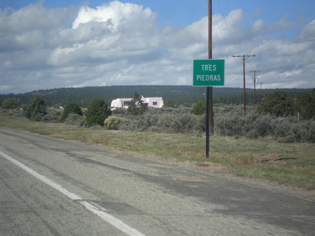
US-64 West - Tres Piedras
Entering Tres Piedras on US-64 west.
Taken 10-13-2013
Tres Piedras
Taos County
New Mexico
United States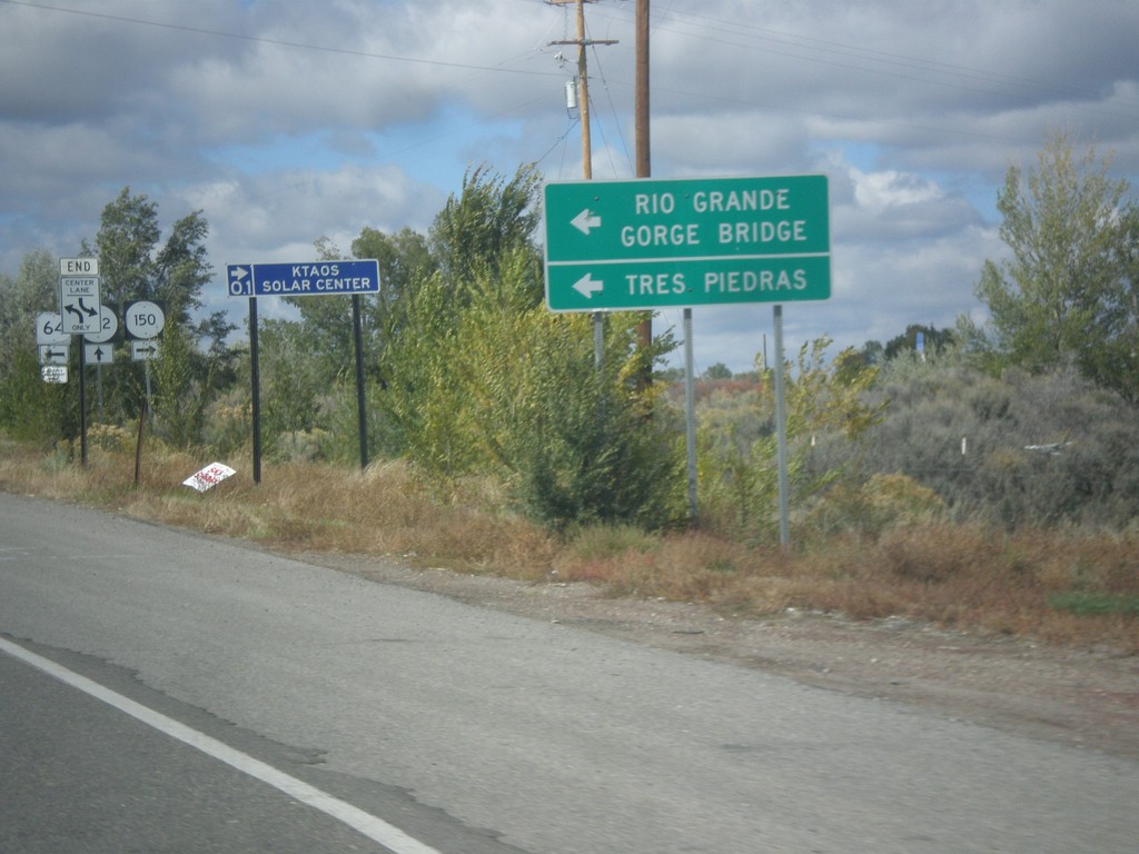
US-64 West at NM-150/NM-522
US-64 west at NM-150/NM-522 junction. Use US-64 for Tres Piedras and Rio Grande Gorge Bridge.
Taken 10-11-2013

 El Prado
Taos County
New Mexico
United States
El Prado
Taos County
New Mexico
United States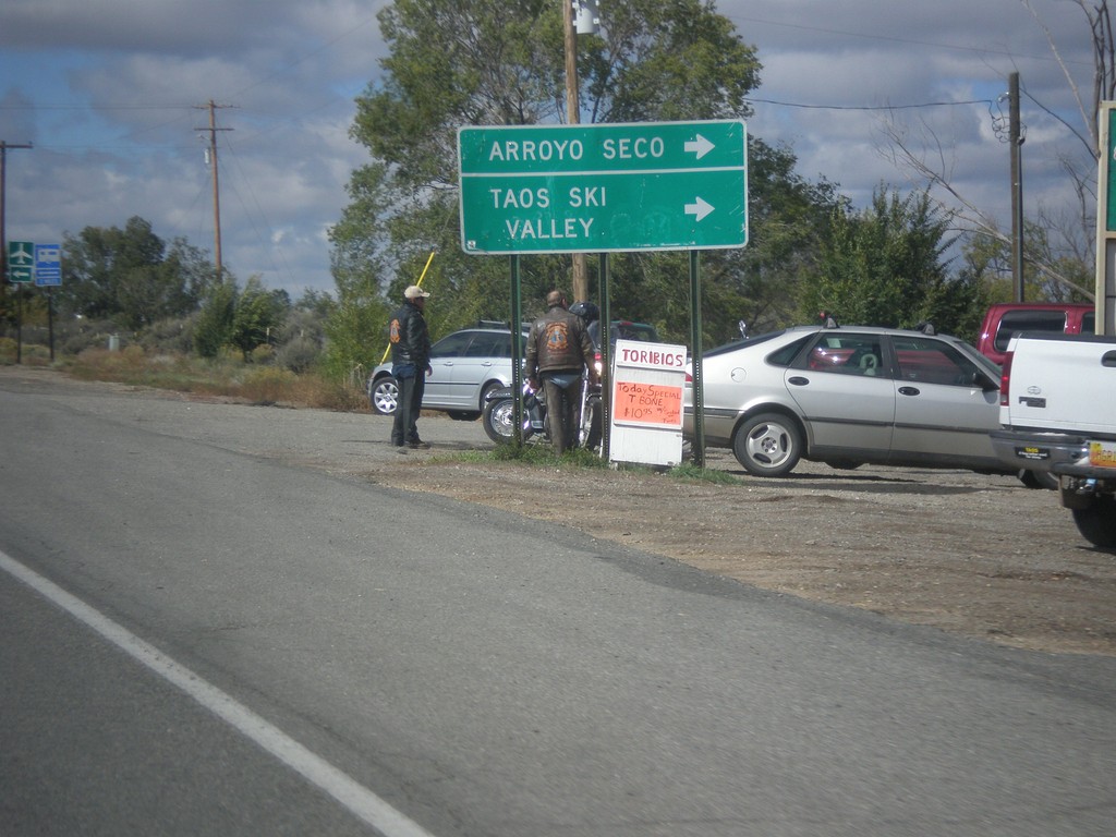
US-64 West at NM-150/NM-522
US-64 west at NM-150/NM-522. Turn right on NM-150 for Taos Ski Valley and Arroyo Seco.
Taken 10-11-2013
El Prado
Taos County
New Mexico
United States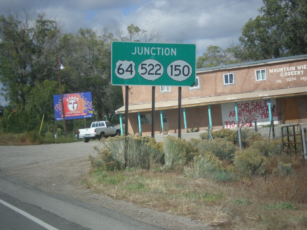
US-64 West Approaching NM-150/NM-522
US-64 West approaching NM-150/NM-522 in El Prado.
Taken 10-11-2013
El Prado
Taos County
New Mexico
United States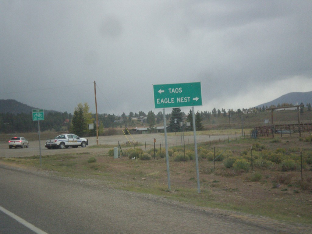
End NM-434 North at US-64
End NM-434 north at US-64. Turn right for US-64 east to Eagle Nest; left for US-64 west to Taos.
Taken 10-10-2013
 Angel Fire
Colfax County
New Mexico
United States
Angel Fire
Colfax County
New Mexico
United States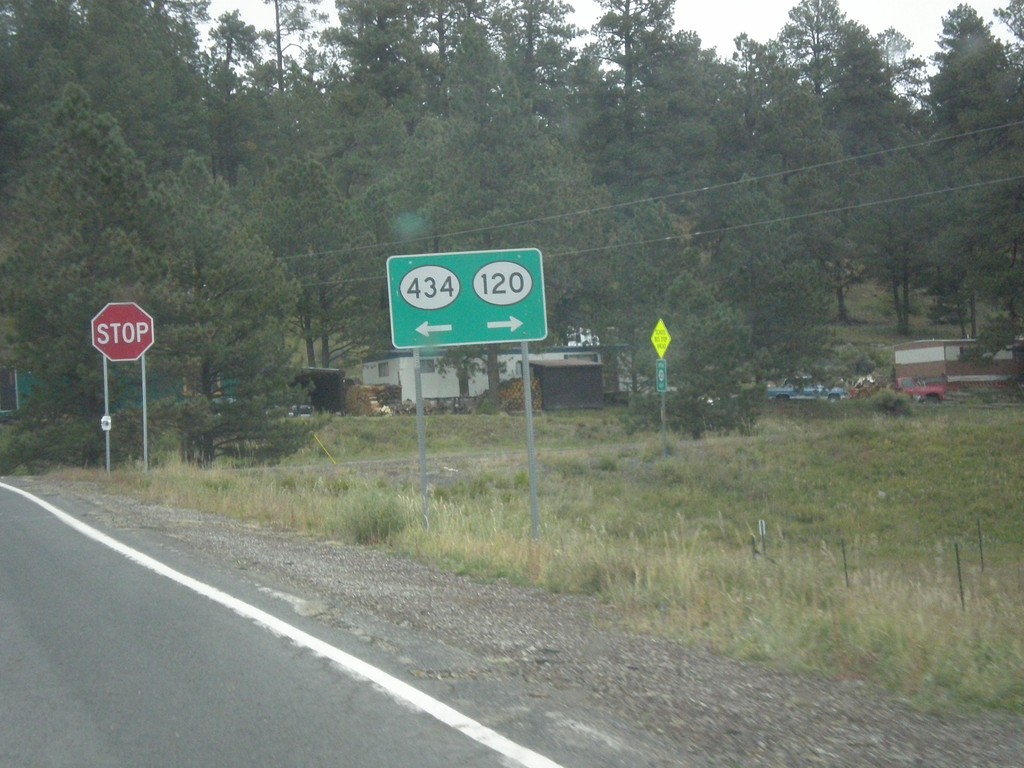
NM-434 North at NM-120
NM-434 north at NM-120 in Colfax County. Turn right for NM-120, turn left to continue north on NM-434.
Taken 10-10-2013
 Guadalupita
Colfax County
New Mexico
United States
Guadalupita
Colfax County
New Mexico
United States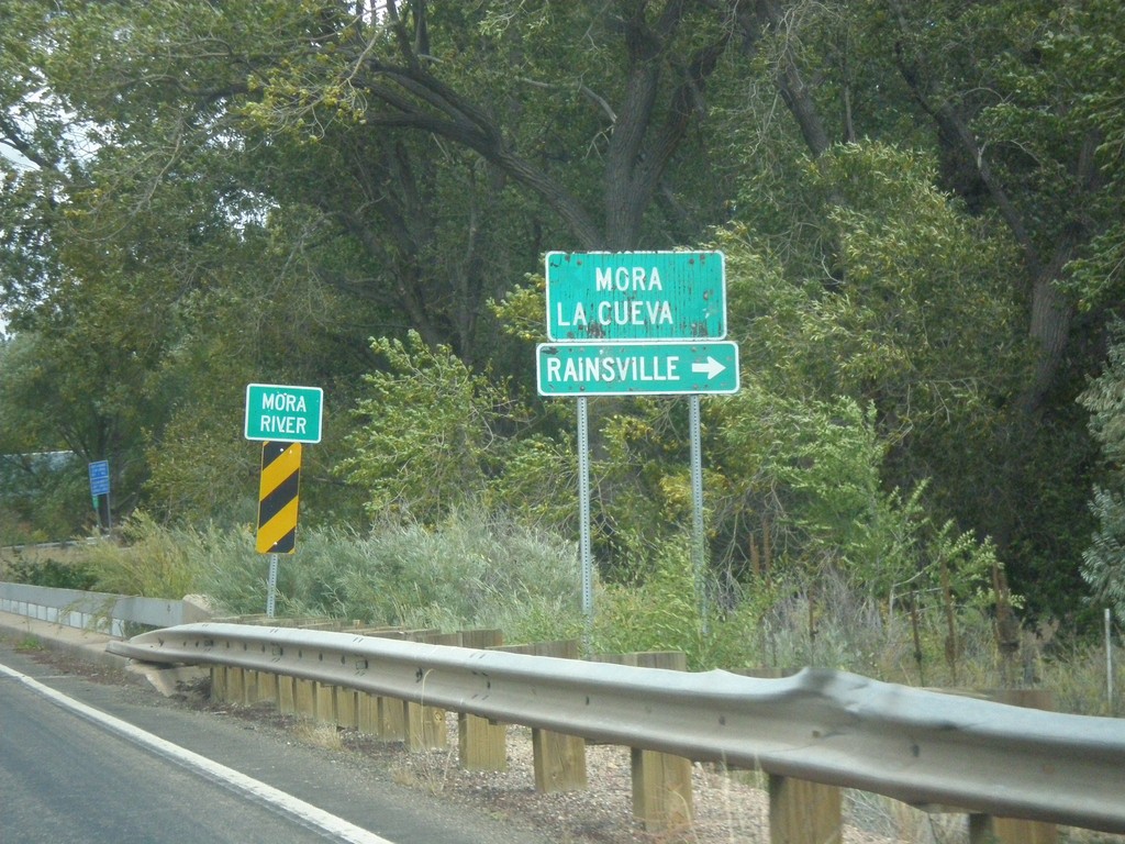
NM-518 North At NM-442
NM-518 north at NM-442. Turn right on NM-442 for Rainsville. Continue north on NM-518 for Mora and La Cueva. Crossing the Mora River.
Taken 10-10-2013

 Mora
Mora County
New Mexico
United States
Mora
Mora County
New Mexico
United States