Signs Tagged With Big Green Sign
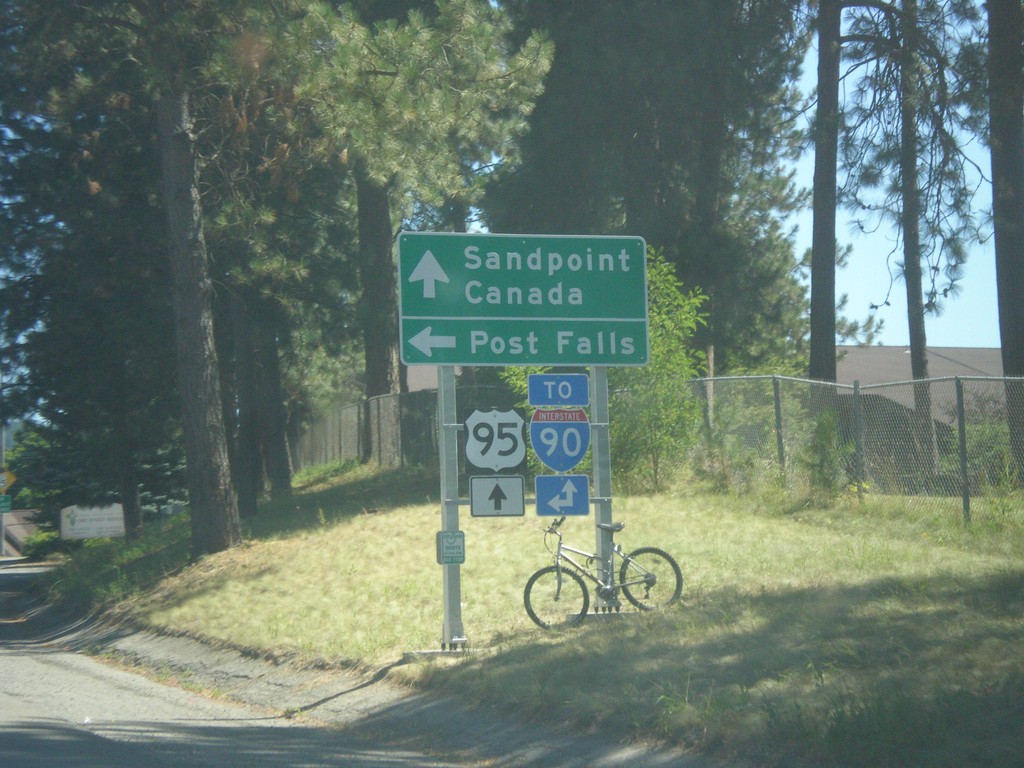
US-95 North - Northwest Blvd. West
US-95 North at Northwest Blvd. West. Use Northwest Blvd. for Post Falls and for I-90 (West). Continue north on US-95 for Sandpoint, Canada and I-90 (East).
Taken 07-23-2017

 Coeur d'Alene
Kootenai County
Idaho
United States
Coeur d'Alene
Kootenai County
Idaho
United States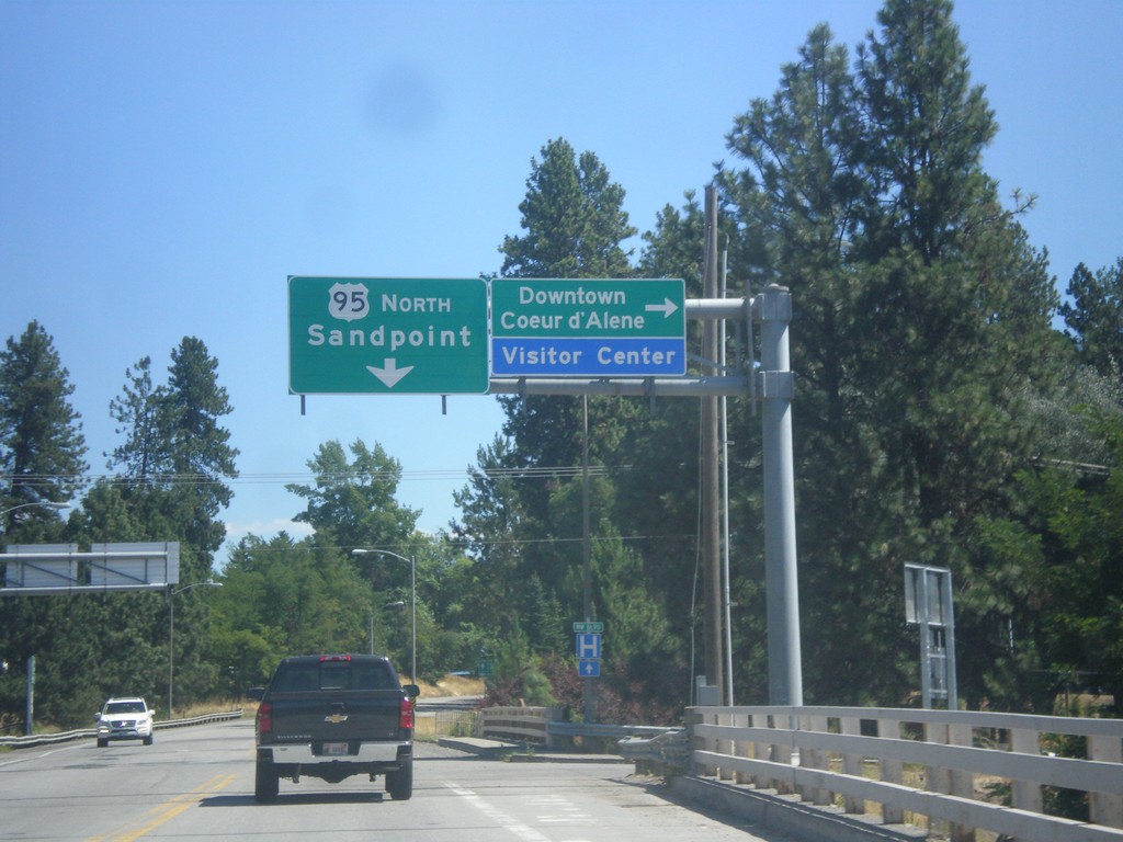
US-95 North - Northwest Blvd. East
US-95 North at Northwest Blvd to Downtown Coeur d’Alene. Continue north on US-95 for Sandpoint.
Taken 07-23-2017
Coeur d'Alene
Kootenai County
Idaho
United States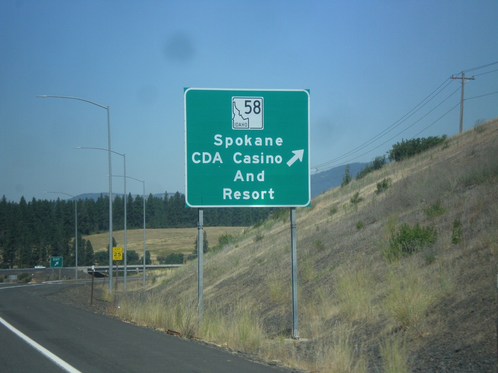
US-95 North - ID-58 Junction
US-95 North at ID-58 Junction. Use ID-58 for Spokane and CdA (Coeur d’Alene) Casino and Resort.
Taken 07-23-2017
 Mozart
Kootenai County
Idaho
United States
Mozart
Kootenai County
Idaho
United States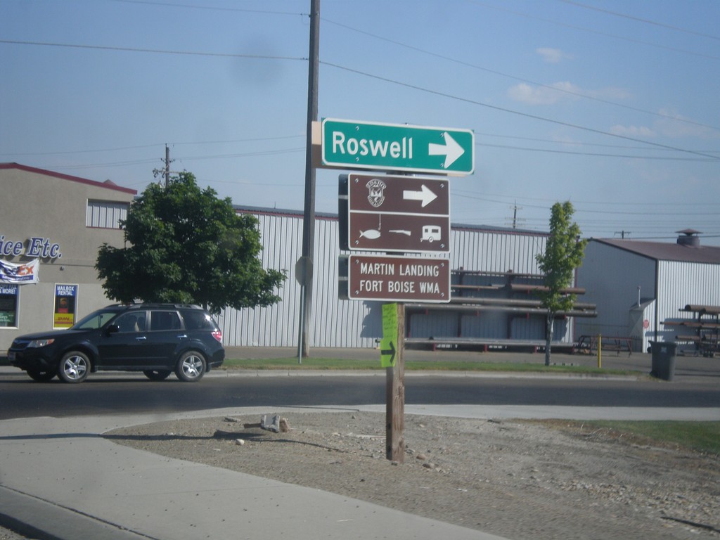
US-20/US-26 East/US-95 South - Roswell Jct.
US-20/US-26 East/US-95 South at Roswell junction (Old Highway 18) in Parma.
Taken 07-15-2017

 Parma
Canyon County
Idaho
United States
Parma
Canyon County
Idaho
United States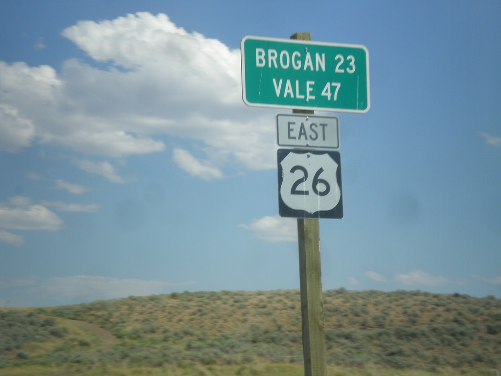
US-26 East - Distance Marker
Distance Marker on US-26 East. Distance to Brogan and Vale. The text on this sign is center aligned instead of the typical format of the place names aligned to the left and the distance aligned to the right.
Taken 07-15-2017
Ironside
Malheur County
Oregon
United States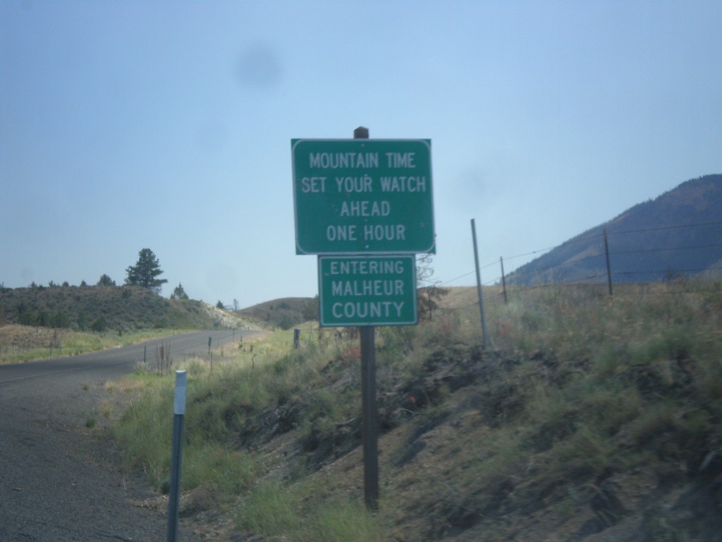
US-26 East - Malheur County / Mountain Time
Entering Malheur County / Mountain Time Zone on US-26 east. Most of Oregon is in Pacific Time, except for the northern half of Malheur County and some communities in Hells Canyon.
Taken 07-15-2017
Ironside
Malheur County
Oregon
United States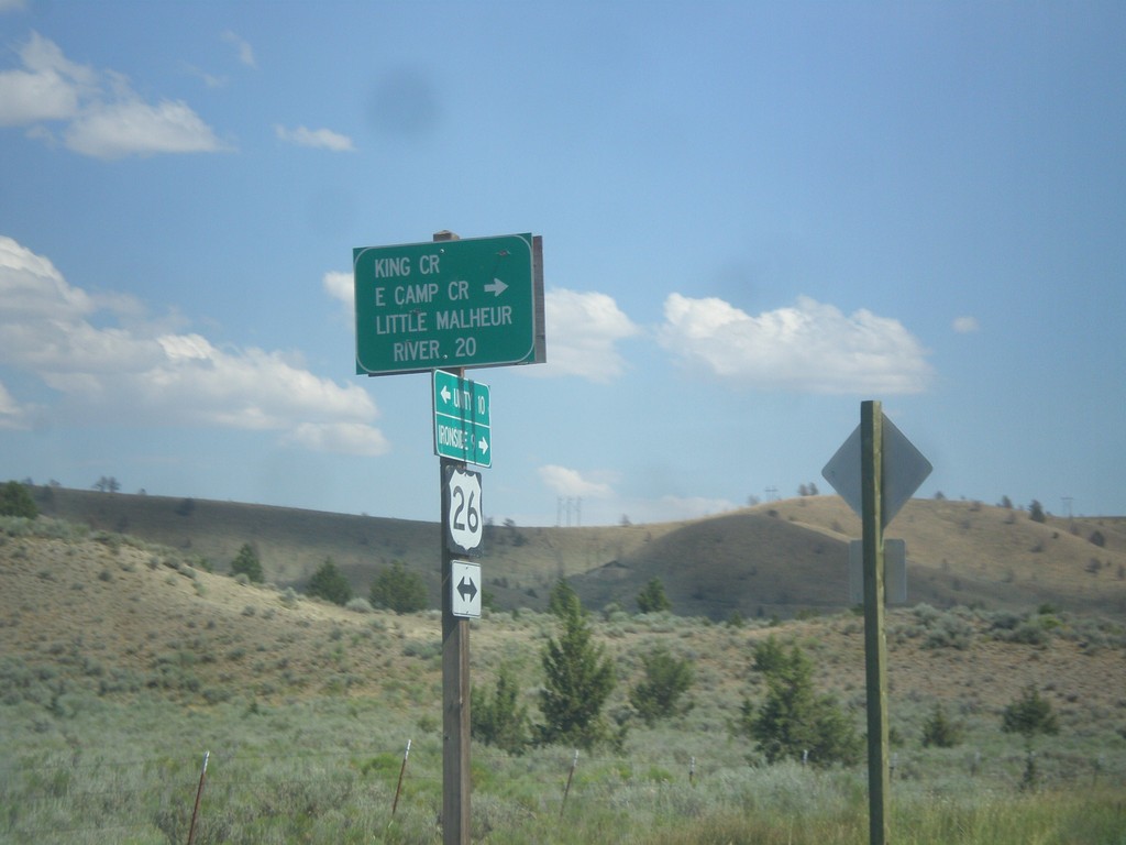
US-26 East - Camp Creek Road
US-26 East at King Creek/East Camp Creek/Little Malheur River junction.
Taken 07-15-2017
Unity
Baker County
Oregon
United States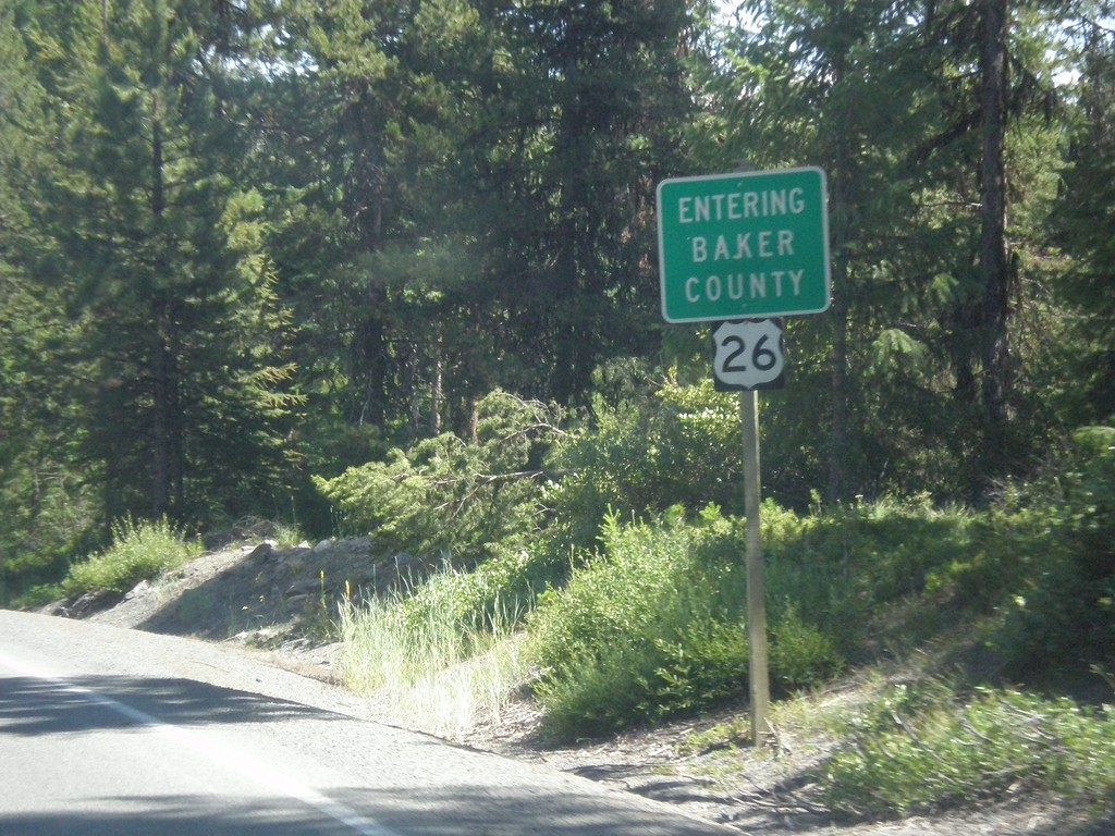
US-26 East - Entering Baker County
Entering Baker County on US-26 East at the summit of the Blue Mountains.
Taken 07-15-2017
Unity
Baker County
Oregon
United States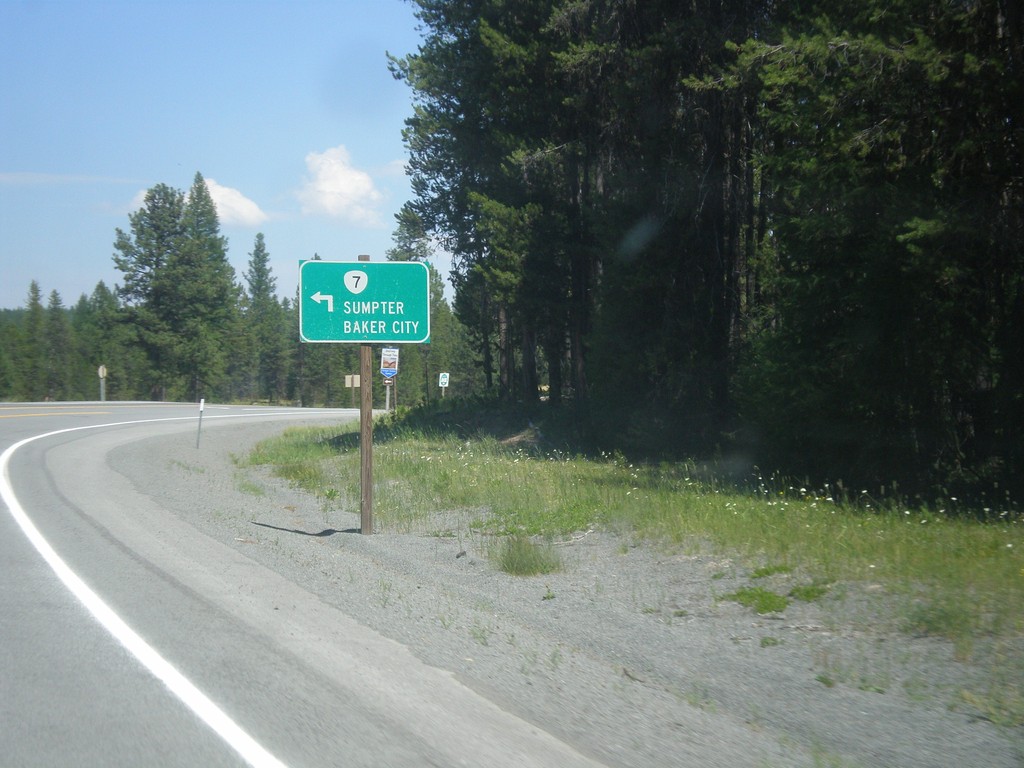
US-26 East at OR-7 - Austin Junction
US-26 East at OR-7 north to Sumpter and Baker City.
Taken 07-15-2017
 Grant County
Oregon
United States
Grant County
Oregon
United States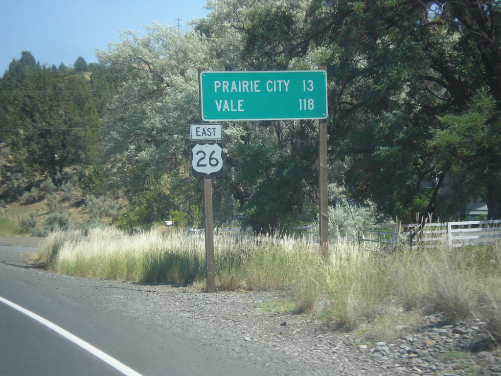
US-26 East - Distance Marker
Distance marker on US-26 east. Distance to Prairie City and Vale.
Taken 07-15-2017
John Day
Grant County
Oregon
United States