Signs Tagged With Big Green Sign
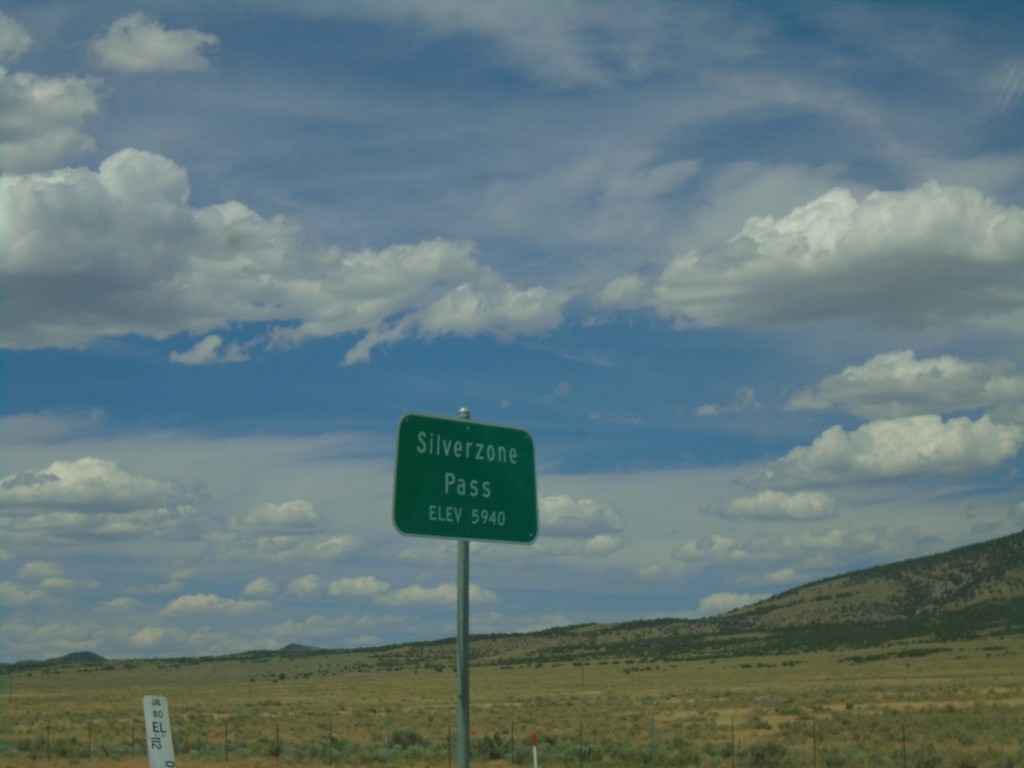
I-80 West - Silver Zone Pass
I-80 west at Silver Zone Pass. Elevation 5940 Feet.
Taken 08-03-2019

 Montello
Elko County
Nevada
United States
Montello
Elko County
Nevada
United States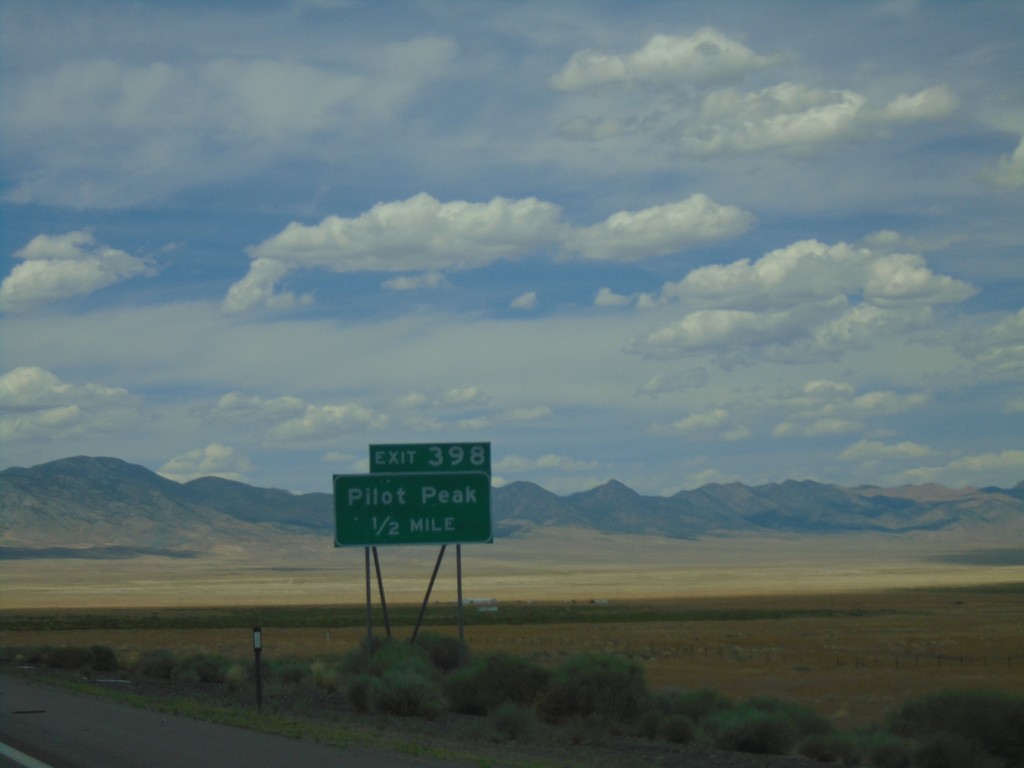
I-80 West - Exit 398
I-80 west approaching Exit 398 - Pilot Peak.
Taken 08-03-2019
West Wendover
Elko County
Nevada
United States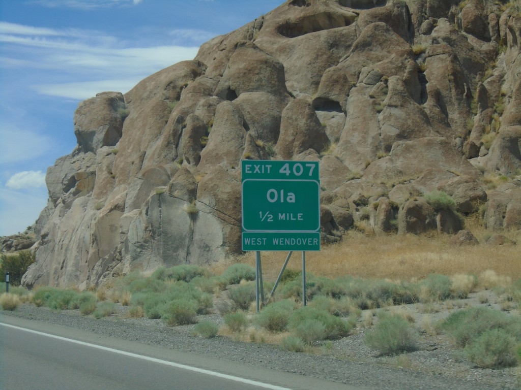
I-80 West - Exit 407
I-80 west approaching Exit 407 - Ola. Use Exit 407 for access to West Wendover.
Taken 08-03-2019
West Wendover
Elko County
Nevada
United States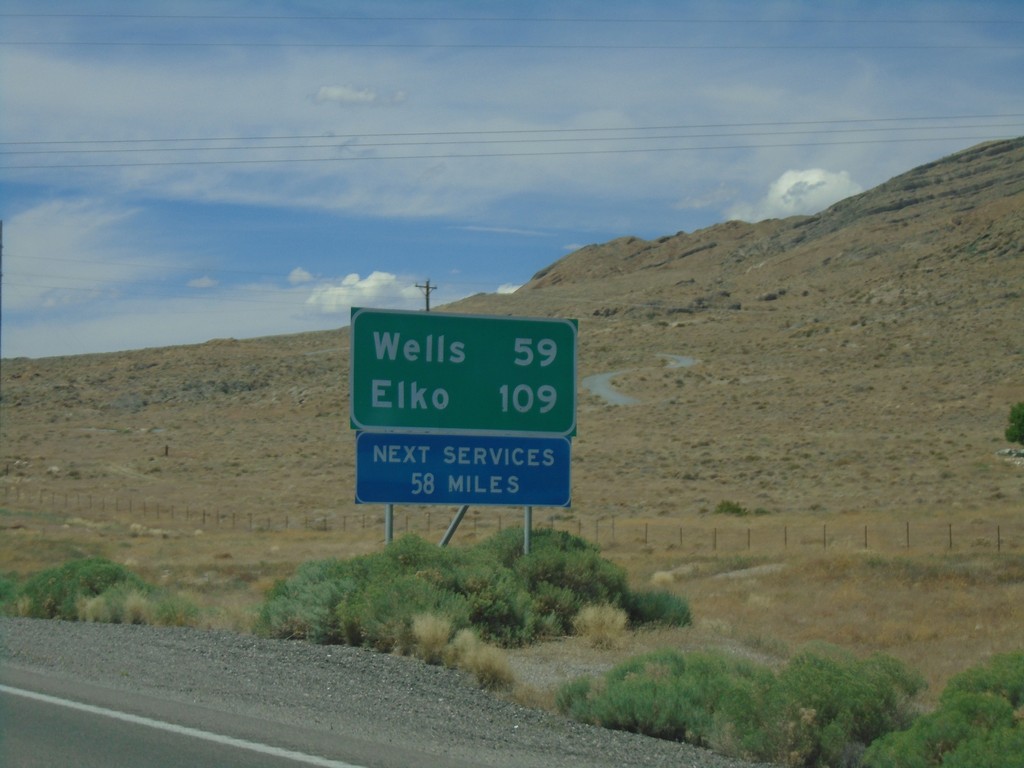
I-80 West - Distance Marker
I-80 west at first distance marker in Nevada westbound. Distance to Wells and Elko. Next services 58 miles.
Taken 08-03-2019
West Wendover
Elko County
Nevada
United States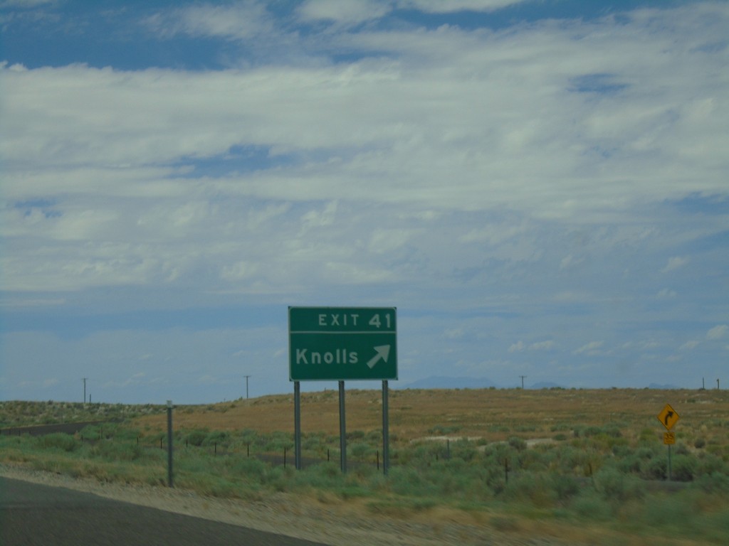
I-80 West - Exit 41
I-80 west at Exit 41 - Knolls. The next exit westbound on I-80 is 37 miles. This is the eastern edge of the salt flats along I-80.
Taken 08-03-2019
Wendover
Tooele County
Utah
United States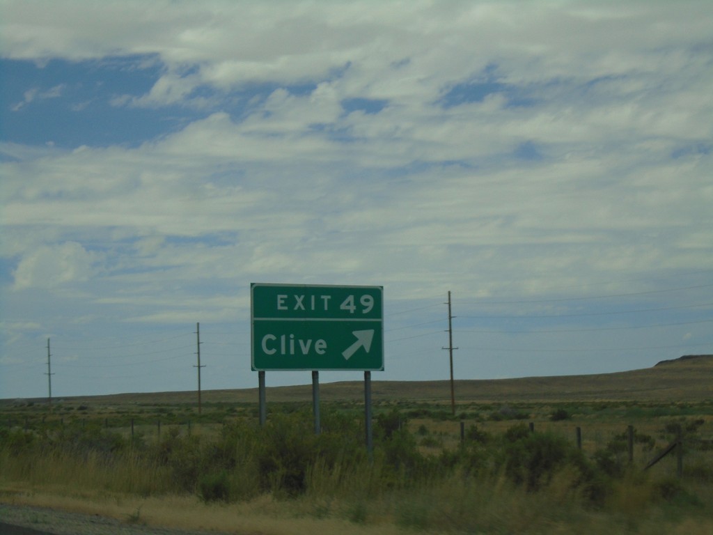
I-80 West - Exit 49
I-80 west at Exit 49 - Clive.
Taken 08-03-2019
Grantsville
Tooele County
Utah
United States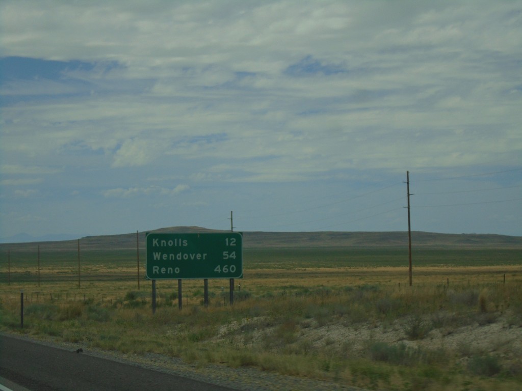
I-80 West - Distance Marker
Distance marker on I-80 west. Distance to Knolls, Wendover, and Reno (NV).
Taken 08-03-2019
Grantsville
Tooele County
Utah
United States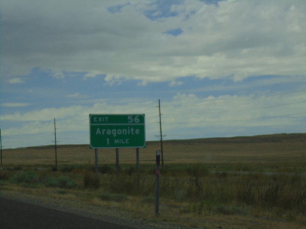
I-80 West - Exit 56
I-80 west approaching Exit 56 - Aragonite.
Taken 08-03-2019
Aragonite
Tooele County
Utah
United States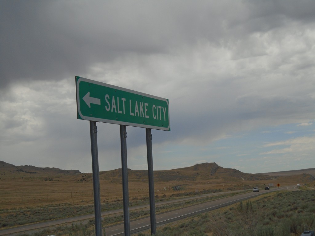
County Road at I-80 East (Exit 62)
County Road at I-80 East (Exit 62) to Salt Lake City.
Taken 08-03-2019
Grantsville
Tooele County
Utah
United States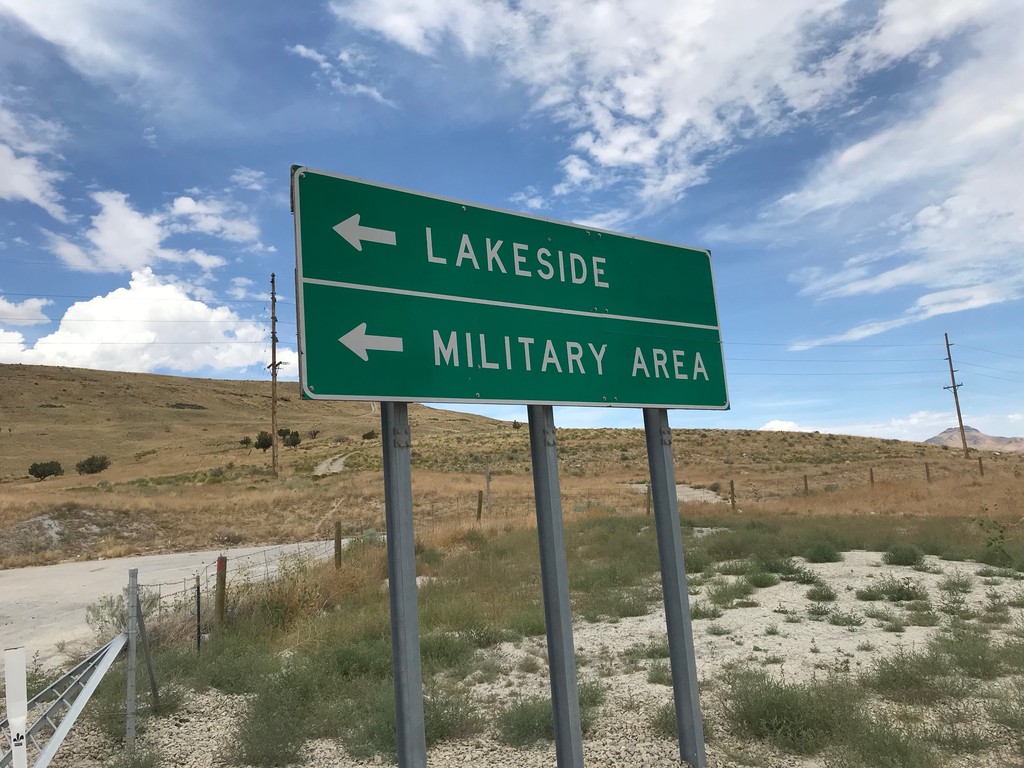
Overpass at I-80 (Exit 62)
Overpass at I-80 (Exit 62) - Turn left for Military Area/Lakeside.
Taken 08-03-2019
Aragonite
Tooele County
Utah
United States