Signs Tagged With Big Green Sign
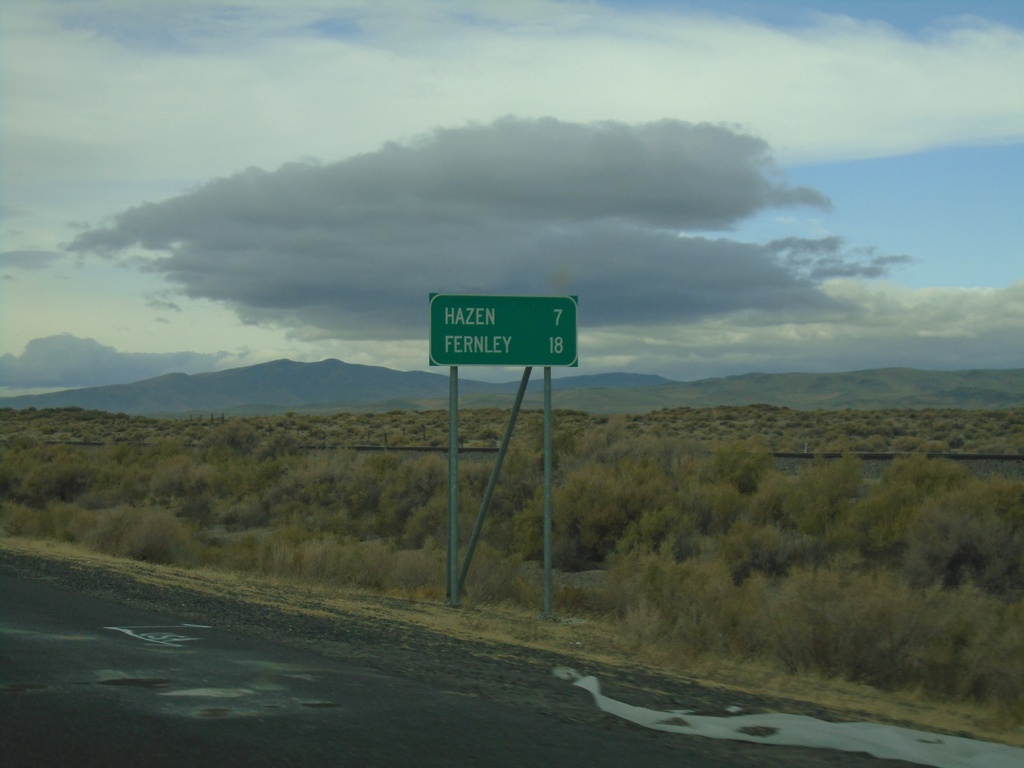
Alt. US-50 West - Distance Marker
Distance marker on Alt. US-50 West. Distance to Hazen and Fernley.
Taken 10-19-2019
 Fallon
Churchill County
Nevada
United States
Fallon
Churchill County
Nevada
United States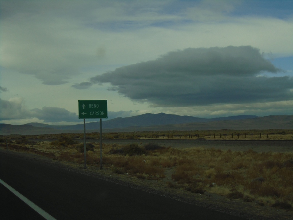
US-50 West at Alt. US-50 West
US-50 west at Alt. US-50 west. Use US-50 west for Carson (City). Continue ahead for Alt. US-50 west to Reno.
Taken 10-19-2019
 Fallon
Churchill County
Nevada
United States
Fallon
Churchill County
Nevada
United States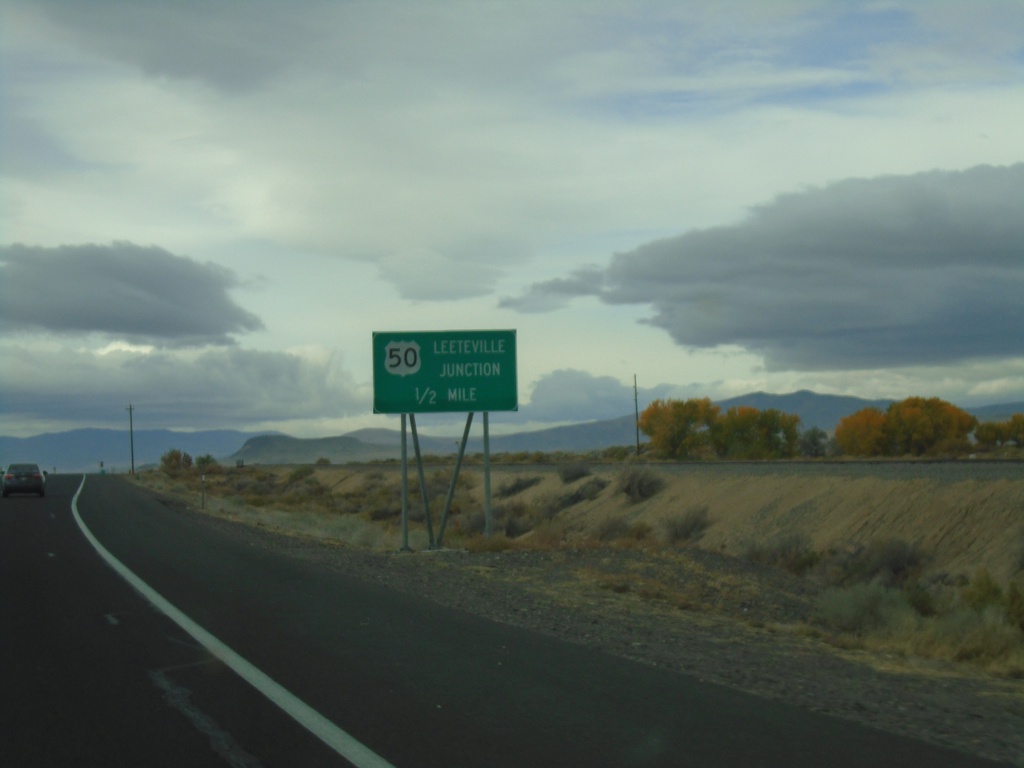
US-50 West - Leeteville Junction
US-50 west approaching Leeteville Junction of US-50 and Alt. US-50.
Taken 10-19-2019
Fallon
Churchill County
Nevada
United States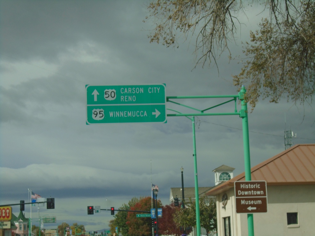
US-50 West at US-95 North to Winnemucca
US-50 west at US-95 north junction to Winnemucca in Fallon.
Taken 10-19-2019
 Fallon
Churchill County
Nevada
United States
Fallon
Churchill County
Nevada
United States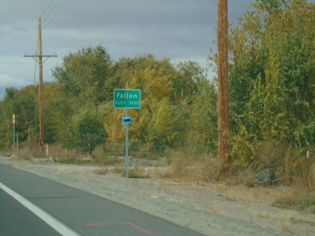
US-50 West - Fallon
Entering Fallon on US-50 west. Elevation 3960 Feet.
Taken 10-19-2019
Fallon
Churchill County
Nevada
United States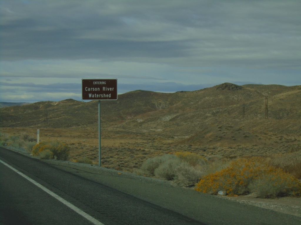
US-50 West - Entering Carson River Watershed
Entering Carson River Watershed on US-50 west. Taken at the summit of the Stillwater Range.
Taken 10-19-2019
Fallon
Churchill County
Nevada
United States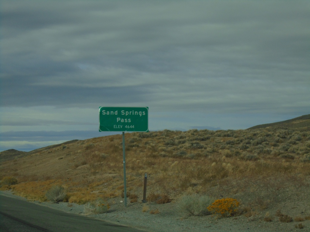
US-50 West - Sand Springs Pass
Sand Springs Pass on US-50 west. Elevation 4644 Feet.
Taken 10-19-2019
Fallon
Churchill County
Nevada
United States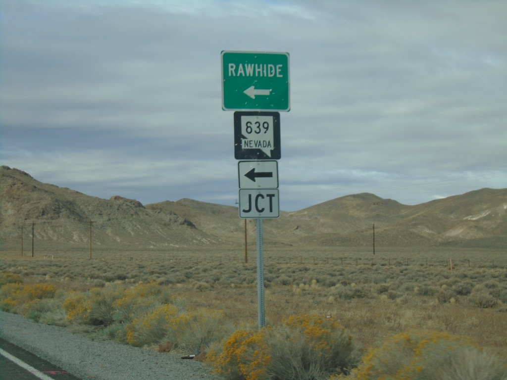
US-50 West at NV-839
US-50 west at NV-839 south to Rawhide.
Taken 10-19-2019
 Fallon
Churchill County
Nevada
United States
Fallon
Churchill County
Nevada
United States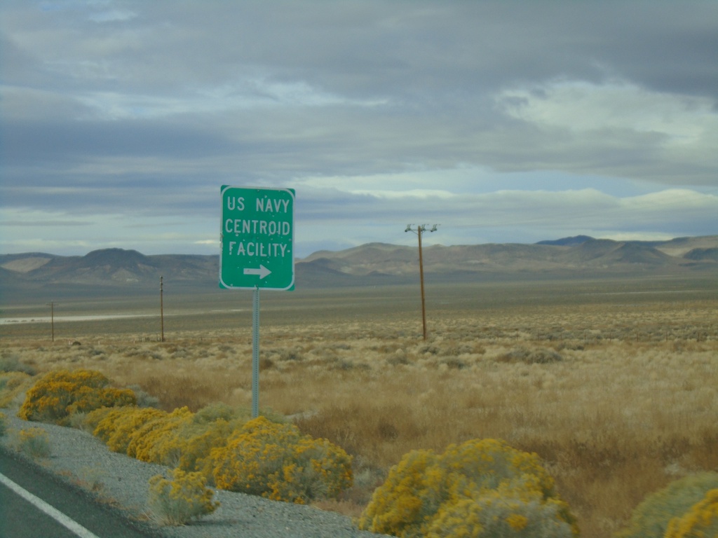
US-50 West - US Navy Centroid Facility
US-50 West at US Navy Centroid Facility junction.
Taken 10-19-2019
Fallon
Churchill County
Nevada
United States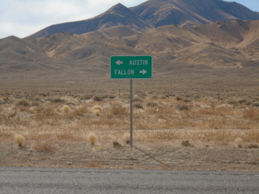
End NV-121 at US-50
Directional sign to Austin and Fallon at southern terminus of NV-121 at US-50 in Churchill County.
Taken 10-19-2019
 Middlegate
Churchill County
Nevada
United States
Middlegate
Churchill County
Nevada
United States