Signs Tagged With Big Green Sign
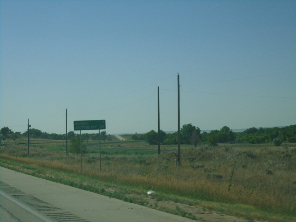
US-26 East - Distance Marker
Distance marker on US-26 east. Distance to Morrill and Scottsbluff. This is the first distance marker eastbound on US-26 in Nebraska.
Taken 08-14-2020
 Henry
Scotts Bluff County
Nebraska
United States
Henry
Scotts Bluff County
Nebraska
United States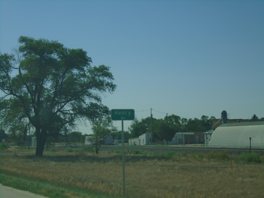
US-26 East - Henry
Entering Henry on US-26 East - Population 106.
Taken 08-14-2020
Morrill
Scotts Bluff County
Nebraska
United States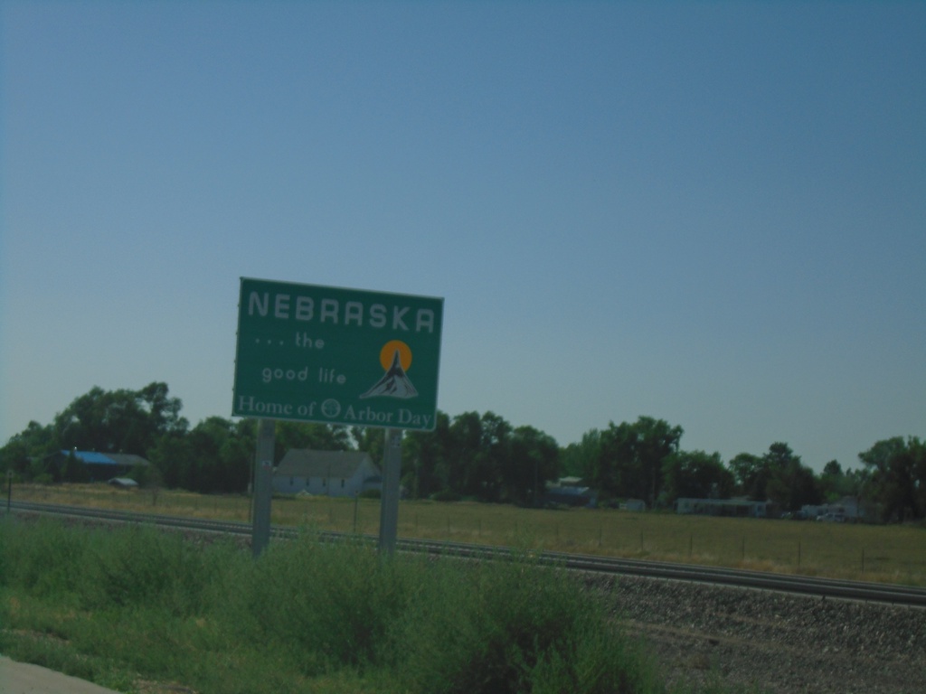
US-26 East - Nebraska
Entering Nebraska on US-26 east.
Taken 08-14-2020
Morrill
Sioux County
Nebraska
United States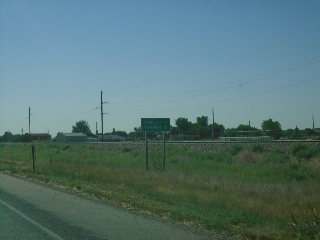
US-26 East - Distance Marker
Distance marker on US-26 east. Distance to (Nebraska) State Line and Scottsbluff (NE).
Taken 08-14-2020
Torrington
Goshen County
Wyoming
United States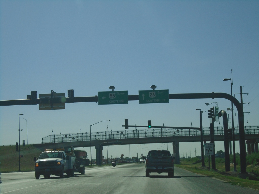
US-26 East/US-85 South at US-26/US-85 Split
US-26 East/US-85 South at US-26/US-85 Split in Torrington. Turn left for US-85 South to Cheyenne. Continue straight for US-26 East to Scottsbluff (NE).
Taken 08-14-2020
 Torrington
Goshen County
Wyoming
United States
Torrington
Goshen County
Wyoming
United States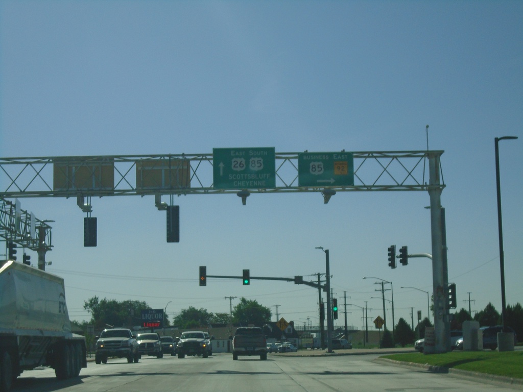
US-26 East/US-85 South at Bus. US-85/WY-92
US-26 East/US-85 South at Bus. US-85/WY-92. Turn right for Bus. US-85/WY-92. Continue on US-26 East/US-85 South for Scottsbluff (NE) and Cheyenne.
Taken 08-14-2020

 Torrington
Goshen County
Wyoming
United States
Torrington
Goshen County
Wyoming
United States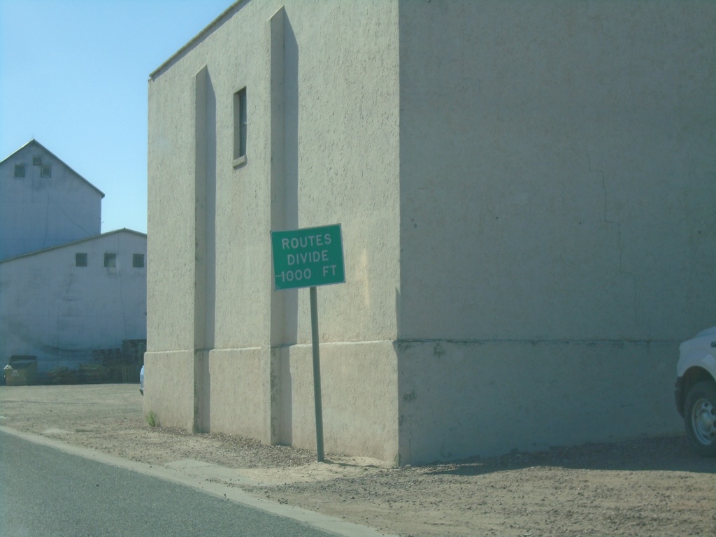
US-26 East/US-85 South - Routes Divide
US-26 East/US-85 South approaching US-26/US-85 split in Torrington.
Taken 08-14-2020
Torrington
Goshen County
Wyoming
United States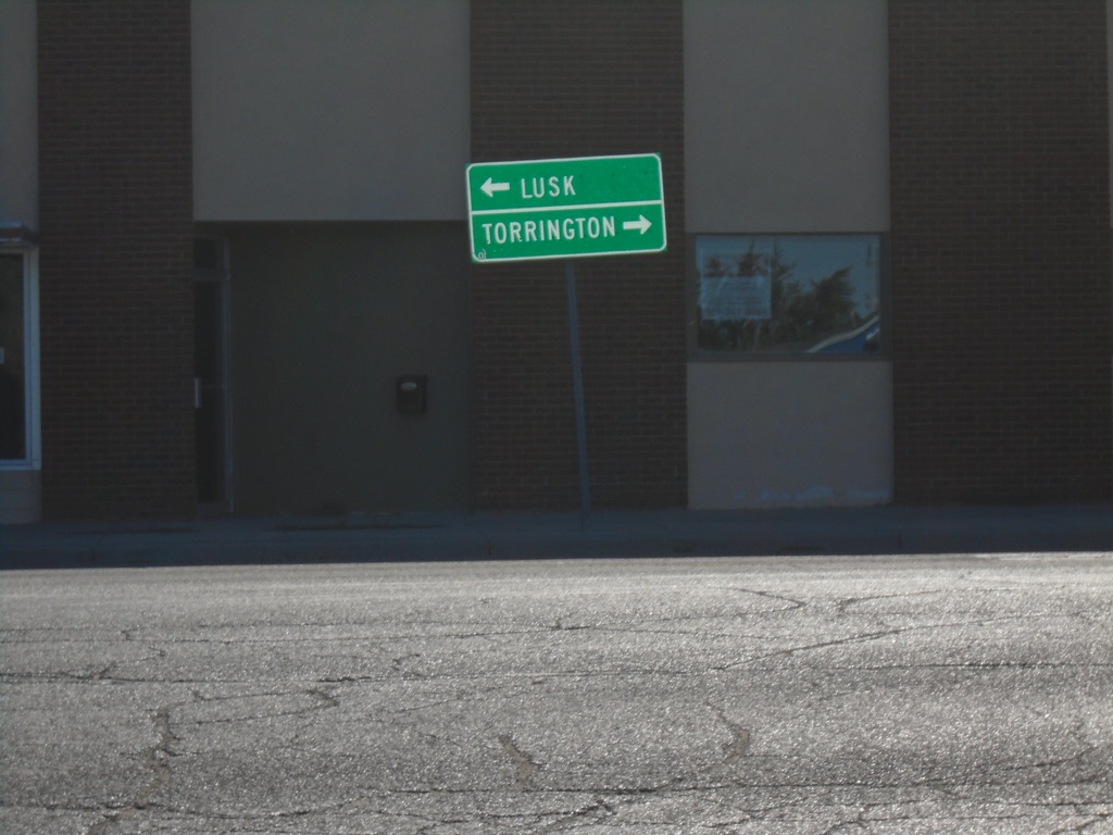
US-26 East at US-85
US-26 East at US-85 in Lingle. Turn left for US-85 North to Lusk; turn right for US-26 East/US-85 South to Torrington.
Taken 08-14-2020
Lingle
Goshen County
Wyoming
United States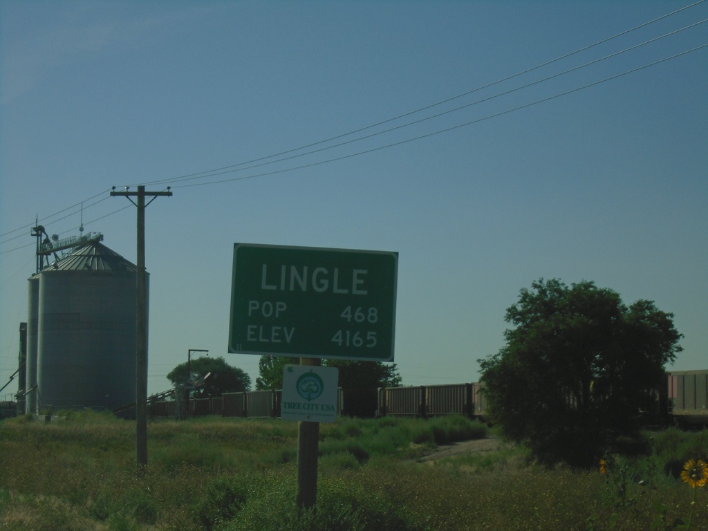
US-26 East - Lingle
Entering Lingle on US-26 East. Elevation 4165. Population 486.
Taken 08-14-2020
Lingle
Goshen County
Wyoming
United States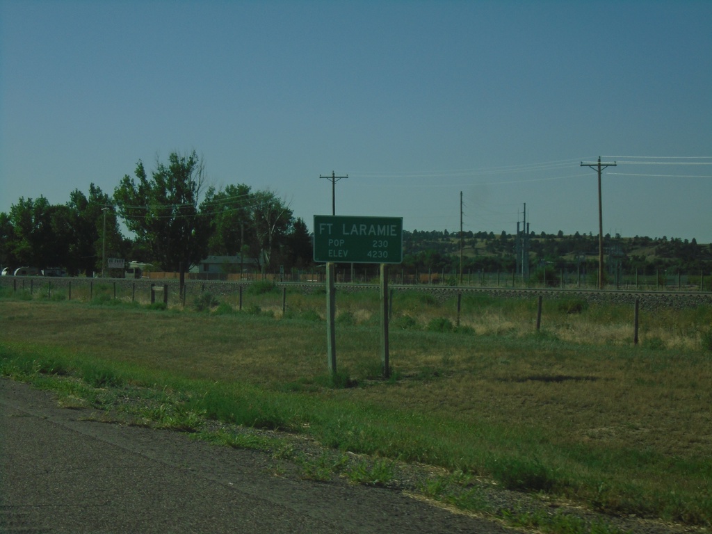
US-26 East - Fort Laramie
Entering Fort Laramie on US-26 west. Elevation 4320. Population 230. The town of Fort Laramie is adjacent to the site of the old Fort Laramie at the confluence of the Laramie River and the North Platte River.
Taken 08-14-2020
Fort Laramie
Goshen County
Wyoming
United States